
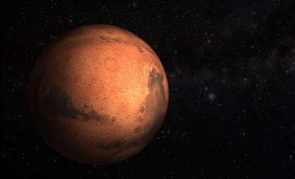
For decades, researchers have explored the possibility of liquid water existing beneath the icy crust of Mars. Early radar data from the Mars Advanced Radar for Subsurface and Ionosphere Sounding (MARSIS) hinted at this tantalizing prospect in the planet’s southern polar region. Yet, fresh evidence obtained by the SHAllow RADar (SHARAD) instrument aboard the Mars Reconnaissance Orbiter offers a more complex narrative. In a recent study featured in Geophysical Research Letters, Gareth Morgan and his team examine the conflicting radar signals, shedding light on what might truly reside beneath the Martian ice.
Exploring Mars’ Icy Landscape and Its Secrets
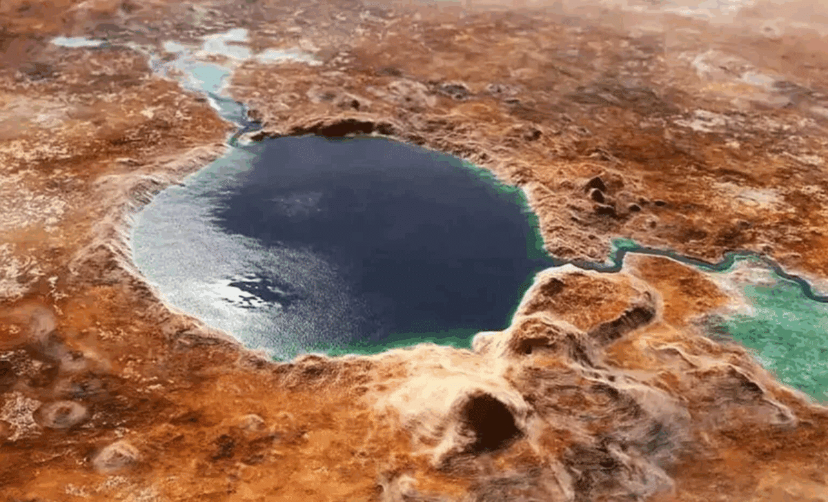
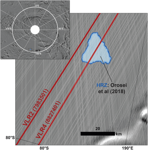
Mars, once flowing with rivers and blanketed by extensive lakes and seas, has since evolved into a cold and arid environment. Despite this, earlier radar maps, particularly those from MARSIS, revealed a peculiar reflector about 20 kilometers wide underneath the southern polar ice cap. This anomaly fueled hopes that liquid water pockets might persist there, protected from the harsh surface by thick ice. However, the latest observations from SHARAD paint a different picture, casting uncertainty on the existence of such water reservoirs.
Scientists have long theorized that if liquid water is present beneath Martian ice, it would require exceptional conditions to remain unfrozen—possibly supplied by geothermal heat sources or high concentrations of salts lowering the freezing point. This formed the core excitement over the initial MARSIS readings, but SHARAD's new and more detailed data suggest the situation might be far more intricate.

Comparing MARSIS and SHARAD: Contrasting Radar Results
Gareth Morgan and his collaborators, publishing in Geophysical Research Letters, analyze the divergence between signals from MARSIS and SHARAD. MARSIS, operating at lower frequencies, detected strong radar echoes from beneath the ice, suggestive of liquid water. This finding stirred excitement about Mars potentially maintaining subsurface habitats.
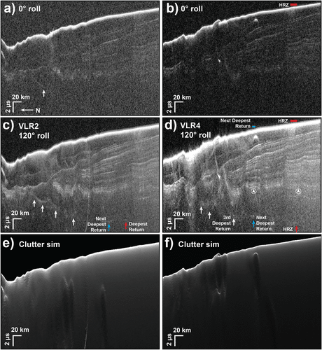
Contrastingly, SHARAD utilizes higher-frequency pulses that offer enhanced resolution. Historically, SHARAD’s depth capability was limited, but a new technique called the "very large roll" (VLR) maneuver allowed it to investigate deeper ice layers. Using this method, the radar revealed notably weaker reflections at the same location previously flagged by MARSIS.
While MARSIS’s reflections sparked optimism, SHARAD’s subtler signals imply the basal layer may be composed of solid, smooth material rather than liquid reservoirs.
Deciphering Radar Data: What Explains the Variance?
The differing outcomes between MARSIS and SHARAD can be attributed to how radar waves interact with materials beneath the ice. Lower-frequency MARSIS waves penetrate deeply and produce robust reflections from certain features, which led to the initial liquid water hypothesis.
In contrast, SHARAD’s higher-frequency signals offer finer-scale detail but limited penetration depth. The new VLR technique boosted its range, allowing it to probe the identified zone more thoroughly, revealing a diminished reflection signal. This suggests the presence of smooth, potentially bedrock-like material rather than fluids.
Additional interpretations include the possibility that the strong radar echoes could be caused by materials such as carbon dioxide ice, salts, or clays embedded within or beneath the ice layer—substances that can mimic the radar profile expected from liquid water but without necessarily indicating actual liquid reservoirs.
- Categories:
- Space


0 comments
Sign in to Comment