
Researchers have made a monumental geological breakthrough with the identification of the long-forgotten Pontus tectonic plate.
This colossal plate, spanning an impressive 15 million square miles, had been buried deep under the Earth’s surface for millions of years, eluding detection until now.
Previously, scientists believed the Pontus plate had been entirely consumed by subduction into Earth’s mantle.

The Pontus Plate: Revealing a Lost Chapter of Earth’s Geodynamics
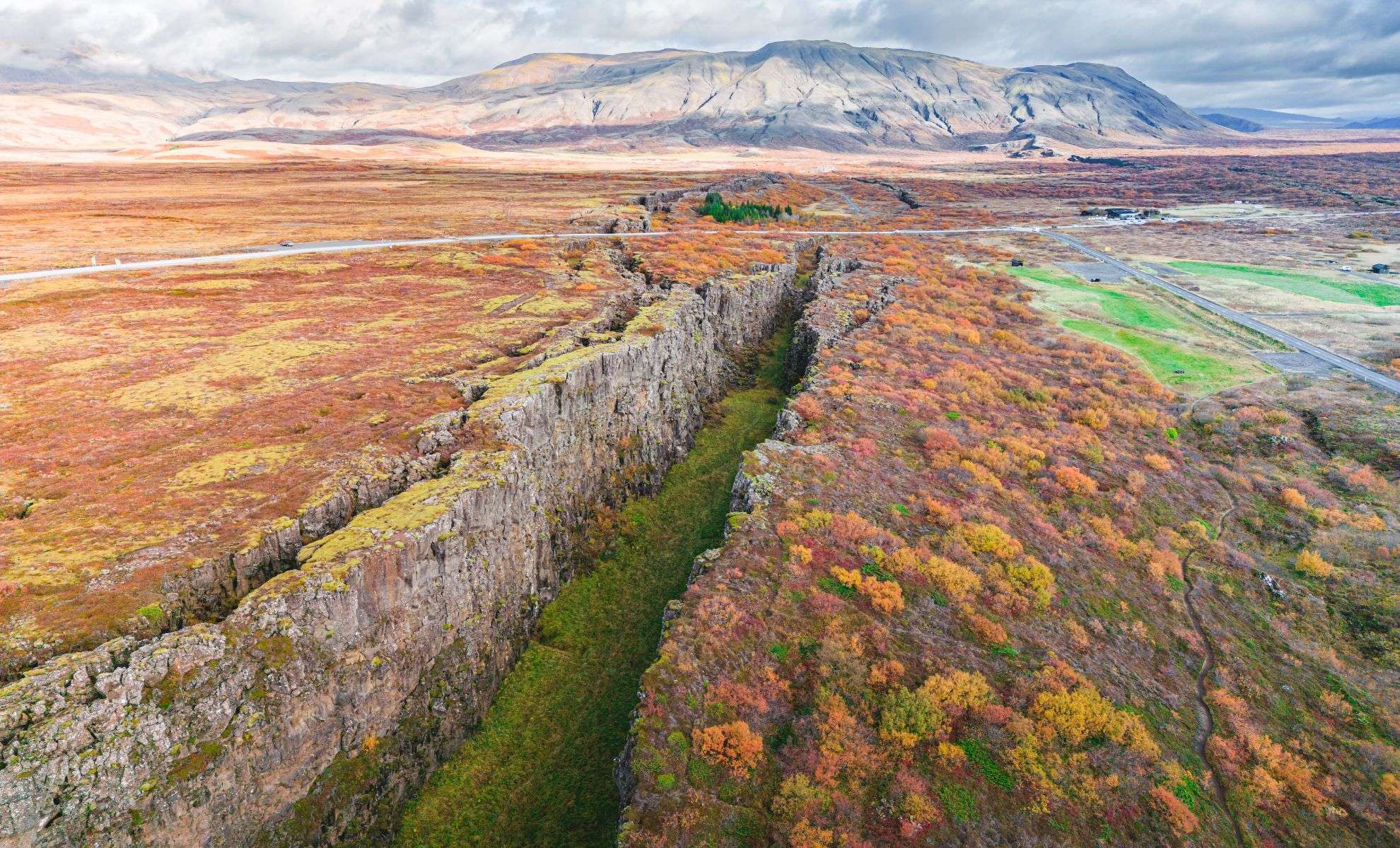
Earth’s lithosphere is segmented into sturdy tectonic plates that glide over the planet’s surface.
These plate motions drive phenomena such as earthquakes, volcanic activity, and the continual transformation of continents.
Following the fragmentation of the supercontinent Pangea millions of years ago, tectonic activity has mainly exhibited two movement patterns: oceanic plates shifting east to west within the Tethyan domain, and plates moving outward across the Panthalassa ocean.
Between these zones existed a highly intricate region characterized by interactions of multiple plates through complex subduction.
The Pontus plate played a crucial role in this tectonic puzzle more than 160 million years ago, covering a vast oceanic expanse.
Yet, evidence of this giant plate remained elusive within the geological archives.
Unveiling the Pontus Plate
A dedicated research team led by Dr. Suzanna Van de Lagemaat at Utrecht University has recently made a major breakthrough confirming the Pontus plate’s existence.
By merging sophisticated computer simulations with meticulous fieldwork, the group scrutinized ancient oceanic rock samples that have persisted over geological time.
These specimens, dubbed “Pontus relics,” initially confounded researchers. “Our magnetic analyses showed these rocks originated far to the north, suggesting they belonged to an unknown tectonic plate,” explained Douwe van Hinsbergen, PhD mentor to Van de Lagemaat.
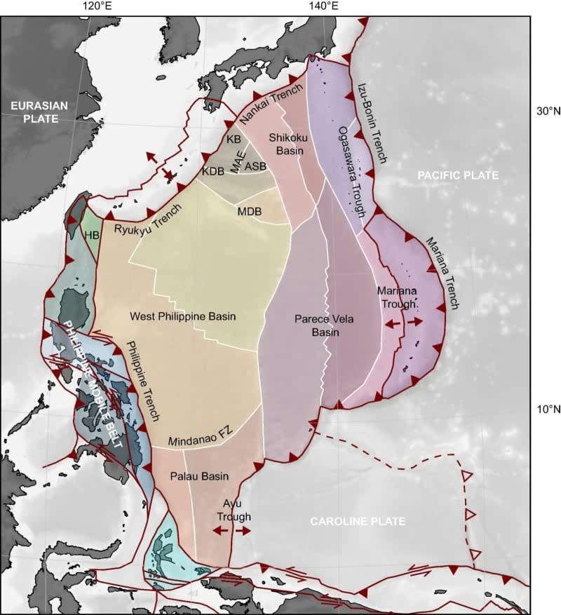
The investigation highlighted key geological formations across regions such as Japan, Borneo, and the Philippines, parts of a historically active tectonic corridor where the Pontus plate once operated. The most revealing evidence emerged from Borneo.
Mapping Pontus' Geological Influence
The Pontus plate was an integral segment of a vast network of tectonic plates dominating the western Pacific realm for more than 150 million years.
Astonishingly, this plate’s reach extended across a wide region, impacting geological processes from southern Japan all the way to New Zealand.
The tectonic interactions in this area have sculpted present-day oceans, mountain ranges, and landforms.
Further discoveries in the South China Sea and Palawan (in the Philippines) revealed additional Pontus plate fragments, underscoring its role as a significant tectonic boundary separating the eastern Pacific from the Pontus domain.
- Categories:
- Science


0 comments
Sign in to Comment