
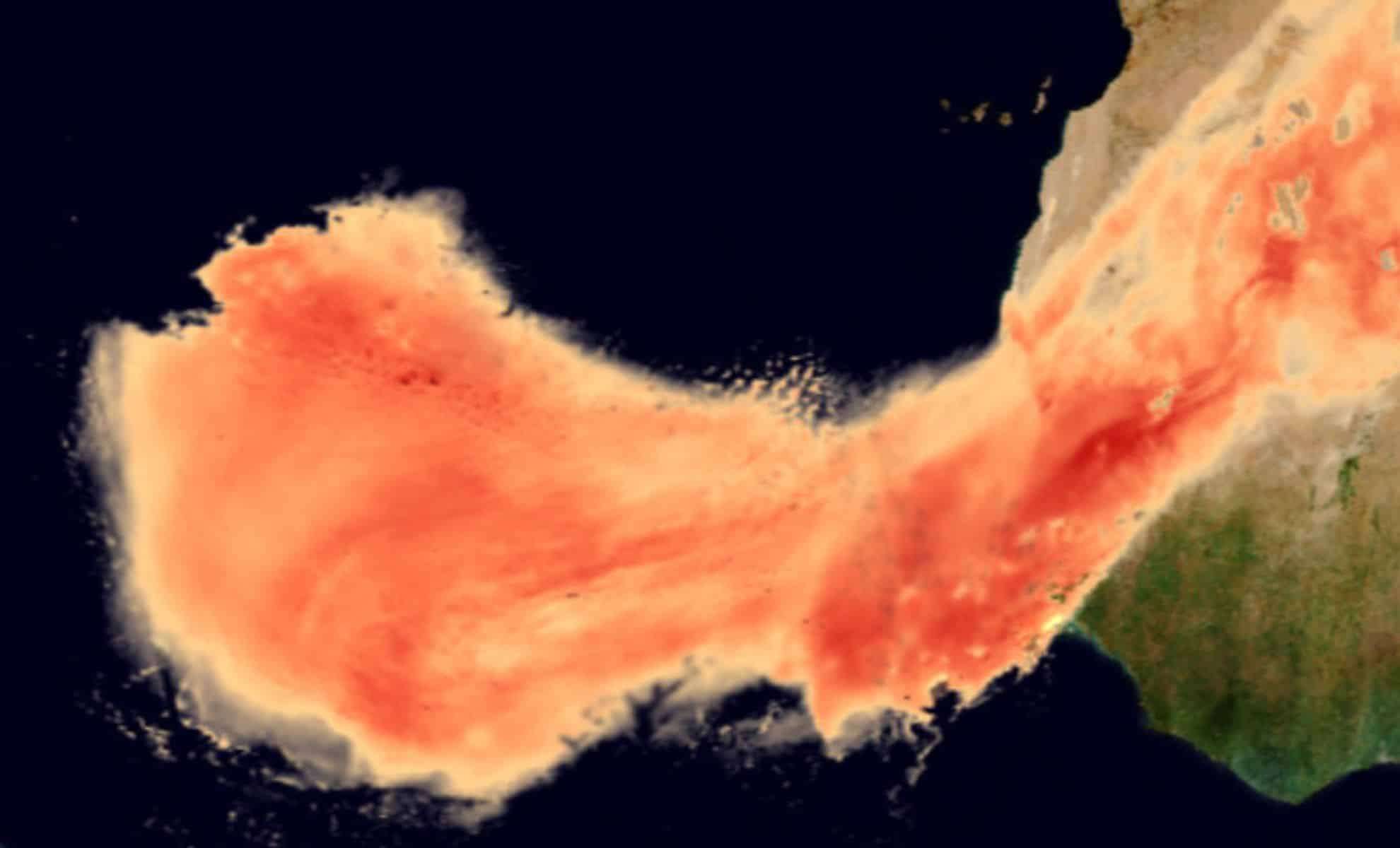
This week, a remarkable atmospheric event is underway as a vast dust cloud originating from the Sahara Desert makes its way toward the southeastern United States. This yearly phenomenon, part of the Saharan Air Layer, brings notable shifts in sky conditions and air quality to the region.
Understanding the Saharan Air Layer
The Saharan Air Layer is a seasonal meteorological occurrence formed when large volumes of desert dust are lofted by tropical waves of the atmosphere. These waves lift dust from the southern perimeter of the Sahara Desert, and by early June, these dust plumes can extend across the Atlantic Ocean.
The dust clouds, which may reach thicknesses of up to 4 kilometers (2.5 miles), travel westward on prevailing winds. Although the Caribbean typically bears the brunt of this airborne dust, this year’s trajectory points toward hazy conditions in the southeastern U.S.

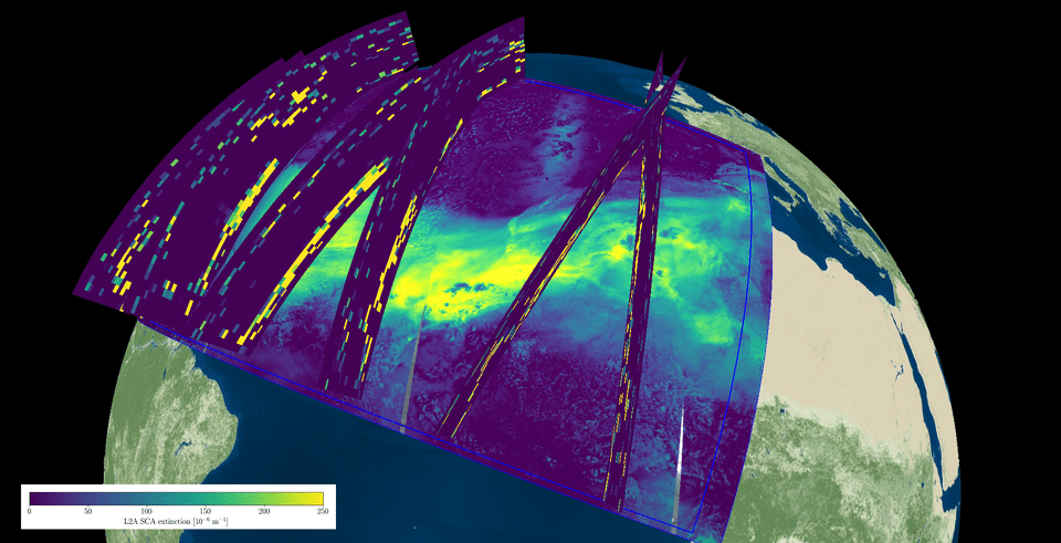
While the usual path is westward, occasionally this dust veers north, sometimes reaching as far as Europe. Satellites closely track the movement of these dust plumes to assess their environmental impacts.
Impacts on the Southeastern U.S.
ESA reports that by midweek, the Saharan dust will begin impacting the U.S., with peak density expected on Thursday. This thick dust layer will reduce visibility and create a hazy atmosphere. It will also produce striking sunrises and sunsets as sunlight scatters through the particles, enhancing sky colors. Additionally, nighttime temperatures may experience a slight rise due to the dust cloud.
Residents in states like Florida, Louisiana, Alabama, and Mississippi should prepare for possible health effects.
Individuals with asthma, allergies, or respiratory sensitivities are advised to limit outdoor activities and consider wearing masks when outside to minimize exposure.
A Hidden Advantage: Hurricane Suppression
Despite degrading air quality, the Saharan dust plume can play a beneficial role by inhibiting hurricane development. Dust particles reduce atmospheric energy levels necessary for storms to intensify. This natural phenomenon helps moderate weather, especially important as forecasts point to an active hurricane season in the Atlantic basin.
Several Caribbean islands, including Jamaica, Puerto Rico, Barbados, and Trinidad and Tobago, have already experienced this dust cover. This event may influence hurricane activity by weakening potential storm formation—a striking example of nature’s complex atmospheric interplay.
Looking Ahead: What to Expect From the Dust Cloud
As the Saharan dust approaches the U.S. mainland, lighter winds inland might cause the plume to weaken; nevertheless, its effects on air quality and the visual landscape will linger for several days.
This year’s event highlights the powerful influence of the Saharan Air Layer on weather far from its origin. While inconvenient for those with breathing difficulties, the dust’s role in potentially mitigating hurricane intensity offers some reassurance during what may be an active storm season.
- Categories:
- News


0 comments
Sign in to Comment