
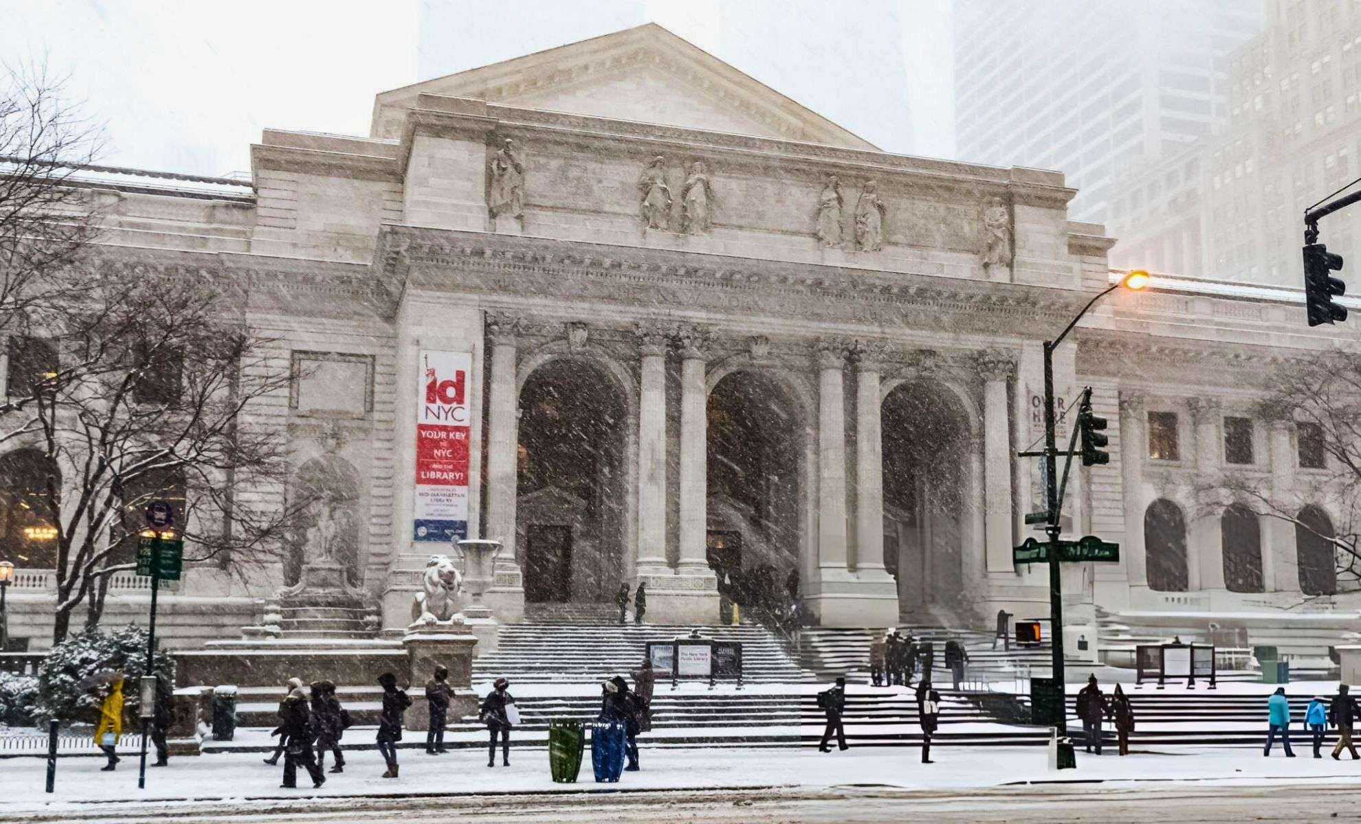
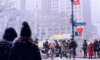
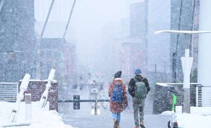
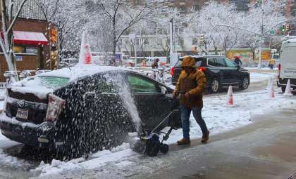
New York City experienced its initial significant snowfall of the winter season late Friday night, blanketing parts of the Tri-State Area with a chilly dusting by early Saturday morning. This winter event prompted weather warnings and sparked caution as a cold snap is set to linger throughout the weekend.
Regional Snow Depths Highlight Variation
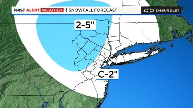
Snow accumulation exhibited notable differences across the region, with northern New Jersey and sections of upstate New York posting the heaviest amounts. Early reports indicate these approximate totals:
- Essex Falls, NJ: 4.5 inches
- Unionville, NY: 4.2 inches
- Sparta, NJ: 2.8 inches
- LaGuardia Airport, NY: 2 inches
- Elmhurst, Queens: 2 inches
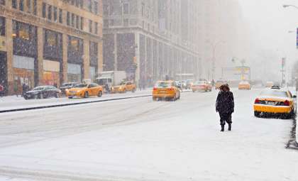
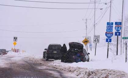
The snowfall tapered off by mid-morning Saturday, leaving roadways slick with icy spots. The National Weather Service issued cautionary guidance for drivers, advising, “Motorists are urged to slow down and use caution traveling.”

Detailed Snow Measurements and End Times
Arctic Air Mass Deepens Cold Snap
After the snowfall cleared, temperatures took a nosedive, peaking just above freezing early Saturday before falling into the 20s later in the day. Winds reaching speeds of 20–30 mph intensified the cold, driving wind chill levels down to below 20°F, sometimes dropping into single digits. The National Weather Service issued alerts warning of a prolonged period of biting cold with lows possibly below zero wind chill in the northern parts.
- Saturday: Morning highs near 30°F followed by a significant temperature drop; wind chills between 10°F and 20°F.
- Sunday and Monday: Sunny skies expected, but daytime highs will stay in the mid-20s. Nighttime lows could fall into the teens in the city and sub-zero in some suburban areas.
In response, the New York City Office of Emergency Management has issued a Cold Weather Alert and is mobilizing teams to help those most at risk, including people without shelter. This alert will remain active throughout the weekend.
City’s Response to Weather Challenges
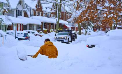
The NYC Department of Transportation has temporarily suspended Alternate Side Parking rules for Saturday to enable efficient snow clearance, while parking meters remain enforced. Road crews continue to survey and treat streets, and residents are encouraged to be vigilant when navigating icy surfaces.
“Snowfall may lead to icy sidewalks and roads,” officials stated. Regions in central New Jersey, such as western Morris and Somerset counties, faced a combination of sleet and snow, complicating travel further.
Bracing for a Bitter Cold Weekend
Though the snow has ended, frigid conditions will dominate through Monday, increasing risks for outdoor exposure. The forecasted low of around 15°F Sunday night in NYC could establish a new seasonal low. Authorities urge residents to take appropriate precautions:
- Wear layered, insulated clothing to conserve body heat.
- Limit time spent outdoors in the cold.
- Check in on at-risk neighbors, especially seniors.
This abrupt transition from a mild fall to harsh winter conditions underscores the need to stay informed with ongoing weather updates and forecasts as the season progresses.
- Categories:
- News ,
- Climate change


0 comments
Sign in to Comment