
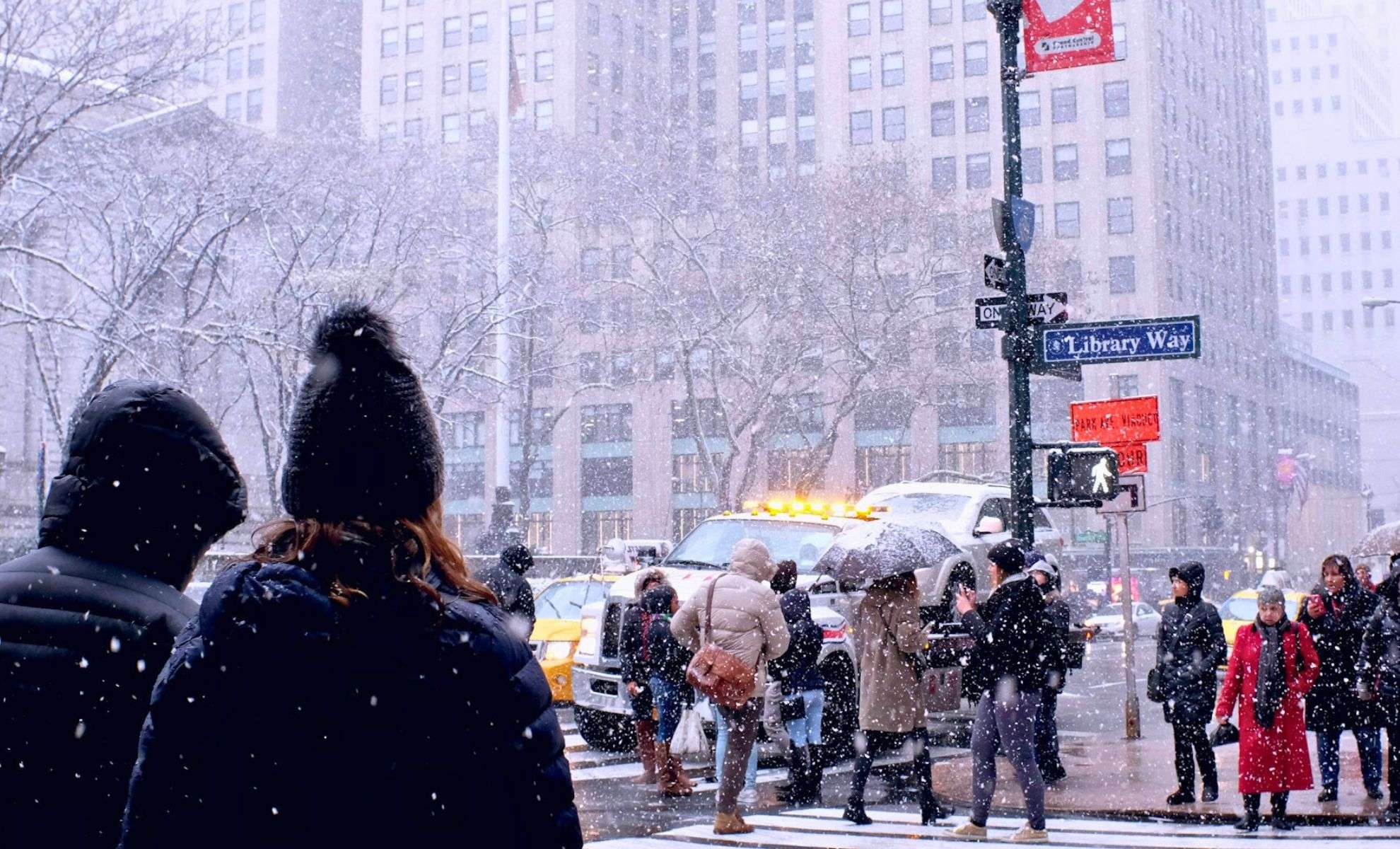
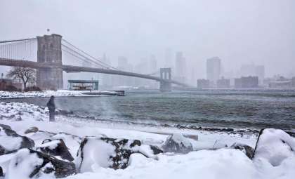
New York City faces the likelihood of its inaugural snow accumulation this season as a swift Alberta clipper storm moves into the Northeast. Meteorologists are attentively tracking this system and its possible connection with a developing low-pressure area over the Atlantic Ocean. Should these systems align, NYC may experience steady snowfall starting late Friday and continuing into early Saturday.
Understanding the Alberta Clipper Phenomenon
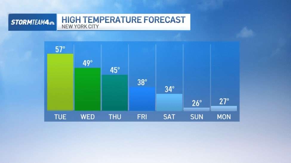
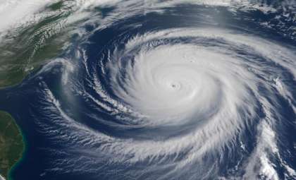
An Alberta clipper is a rapid storm system originating in western Canada that usually delivers brief snow showers as it crosses the U.S. This particular clipper will usher in a colder air mass, causing temperatures Friday night to fall to around 29°F. Daytime highs on Saturday are expected to hold near 34°F, with lows dropping to 19°F.
Forecasters indicate that the clipper by itself might bring only light snow flurries without substantial accumulation unless it merges with the Atlantic low-pressure system.

An Incoming Chill Before the Snowfall
The National Weather Service predicts a noticeable temperature decline ahead of the clipper’s arrival. On Wednesday, December 18, skies will start sunny, but rain will set in by afternoon with highs near 51°F. Overnight, rainfall will continue under cloudy skies, and temperatures will drop to around 39°F.
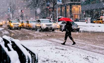
The air will turn colder on Thursday, December 19, with mostly clear skies, highs about 44°F, and lows near 35°F. By Friday, December 20, snow and rain showers will likely mix as temperatures struggle to reach 39°F. Overnight lows will fall to 33°F, creating conditions ripe for snow accumulation.
AccuWeather meteorologist Dave Dombek notes that while the clipper itself may produce only minor snow showers, meaningful accumulation hinges on its interaction with the Atlantic low.
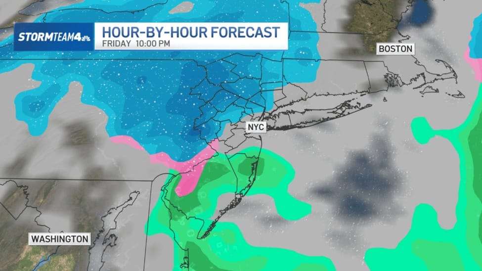
“There’s at least a chance that the clipper interacts with that developing storm offshore and it actually ends up causing it to be a little bit closer to the coast,” said Dombek. “What it could do, the interaction with the clipper and the offshore storm, it could pull it in just close enough to the coast, at least for a several-hour period Friday night, where there could actually be some steady snow falling in and around the city.”
In such a scenario, NYC could see between a light dusting and two inches of snow accumulation by Saturday morning. Temperatures will plunge sharply on Saturday, December 21, with highs near 35°F and lows dropping to a chilly 18°F.
Significant Drop in Temperatures Over the Weekend
Following the clipper’s passage, Sunday, December 22, is expected to bring clear skies alongside bitter cold temperatures. Daytime highs may only reach 27°F, with overnight lows plummeting to around 13°F, marking one of the most frigid days this season.
The cold pattern is predicted to persist into the start of next week:
- Monday, December 23: Mostly sunny skies, with highs near 27°F and lows around 22°F.
- Tuesday, December 24: Return of cloud cover, with temperatures hovering close to 37°F.
These sustained chilly conditions will help preserve any snowfall over the weekend, reinforcing the winter atmosphere as the holiday approaches.
Rainfall Precedes the Snowstorm
Prior to the clipper, an unrelated weather system will affect the region from Wednesday into early Thursday. Rainfall totals between 0.3 and 0.5 inches (approximately 1.27 cm) are anticipated across NYC, while northwest and northern areas, especially the Catskills, may receive several inches of snow due to cooler temperatures at higher elevations.
This midweek precipitation event illustrates the unpredictable nature of early winter weather in the Northeast and may play a role in shaping the Atlantic low-pressure system's development.
Getting Ready for Winter’s First Snow
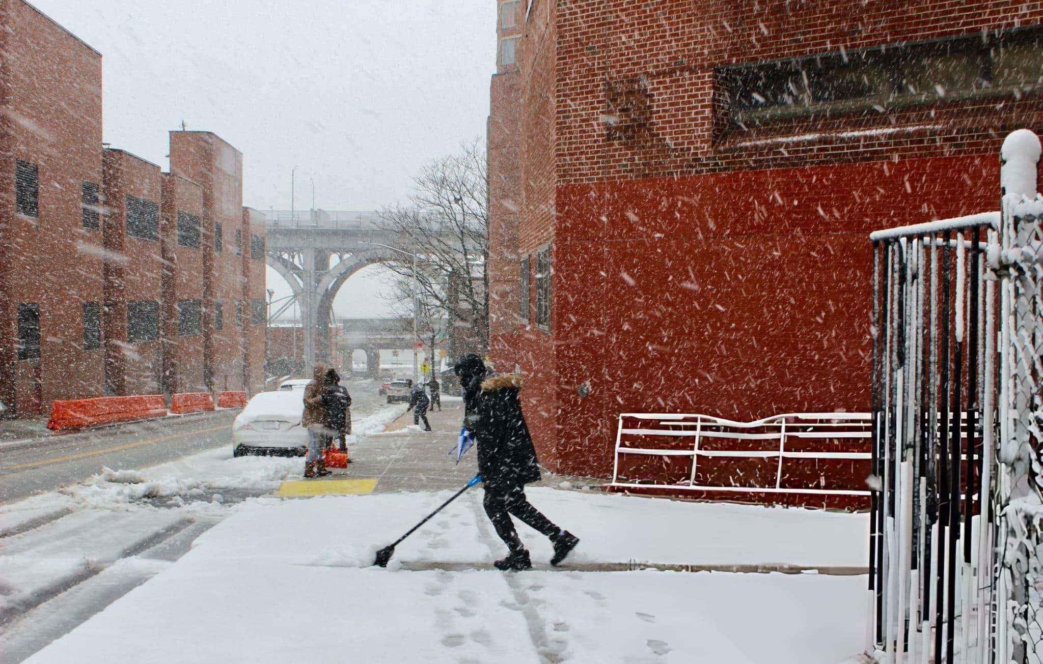
Though forecasts still entail uncertainties, late Friday into Saturday appears likely to bring New York City’s first notable snowfall of the season. Residents are advised to prepare for possible slippery roads and sidewalks as temperatures dip below freezing overnight.
If the Alberta clipper merges with the Atlantic low-pressure zone, the city’s upcoming winter weather could swiftly become more intense, hinting at a potentially active season ahead.
- Categories:
- News ,
- Climate change


0 comments
Sign in to Comment