
Winter weather has significantly impacted regions across New York State as December progresses. While Upstate New York has experienced some of the most substantial snowfall in recent history, the outlook for New York City remains less certain in the coming days. Below is a detailed summary of recent snowfall amounts statewide and the expected conditions moving forward.
Intense Snowfall Affects Upstate New York
During the past weekend, intense lake-effect snow struck much of Upstate New York, dropping multiple feet of snow particularly east of Lake Erie and Lake Ontario. The highest accumulations were registered in Copenhagen, with a staggering 65.9 inches, closely followed by Barnes Corners at 65.5 inches. Other locations such as Cassadaga and Chautauqua County saw comparable depths, including 54.1 inches in Cassadaga and 47 inches in Cherry Valley.
Snow Depth Records in Upstate New York:
- Copenhagen: 65.9 inches (1.67 m)
- Barnes Corners (Lewis County): 65.5 inches (1.66 m)
- Cassadaga: 54.1 inches (1.37 m)
- Chautauqua County: 47 inches (1.19 m)
- Cherry Valley: 47 inches (1.19 m)
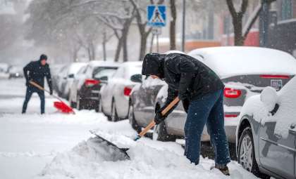
This area is especially vulnerable to heavy snow due to its close location beside the Great Lakes, where lake-effect snowfall rapidly builds up. Winter storm alerts remain active as of Monday for counties such as Madison, Onondaga, Oswego, Cattaraugus, and Chautauqua. These regions might receive an additional 12 to 20 inches (30 to 50 cm) of snow. Local officials have advised drivers to use extreme caution, as road conditions are severely affected by snow drifting and poor visibility.

Furthermore, the northwestern portion of the state faces flood warnings due to possible drainage issues stemming from melting heavy snow. Temperatures have remained between the 20s and lower 30s Fahrenheit, which has contributed to the dense, wet nature of the snowfall.
Snow Accumulation Data for 122 Upstate Locations
Below are the snowfall measurements following the weekend lake-effect storm as recorded on Monday, December 2, 2024. This list has been expanded to include more communities.
Outlook for Upstate New York Snowfall
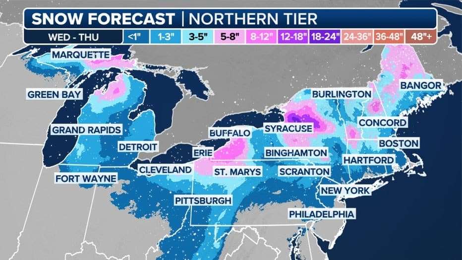
Upstate New York is set to experience further snowfall, as cities like Rochester, Syracuse, and Buffalo prepare for another influx of lake-effect snow starting Tuesday and lasting through Wednesday. The counties of Chautauqua and Cattaraugus are forecasted to be hit the hardest, with the meteorological team warning of up to 20 inches (50.8 cm) of fresh snow. The most intense snow bands are anticipated to move eastward, impacting regions like Madison County and Syracuse, where snowfall could reach up to 10 inches (25.4 cm) by evening.
The potential for snowfall persists into today, and although conditions are likely to improve by week's end, total accumulations may exceed 5 feet (1.52 meters) in the most snow-laden zones before the storm passes. These conditions raise concerns about snow clearing and power disruptions in rural locales.
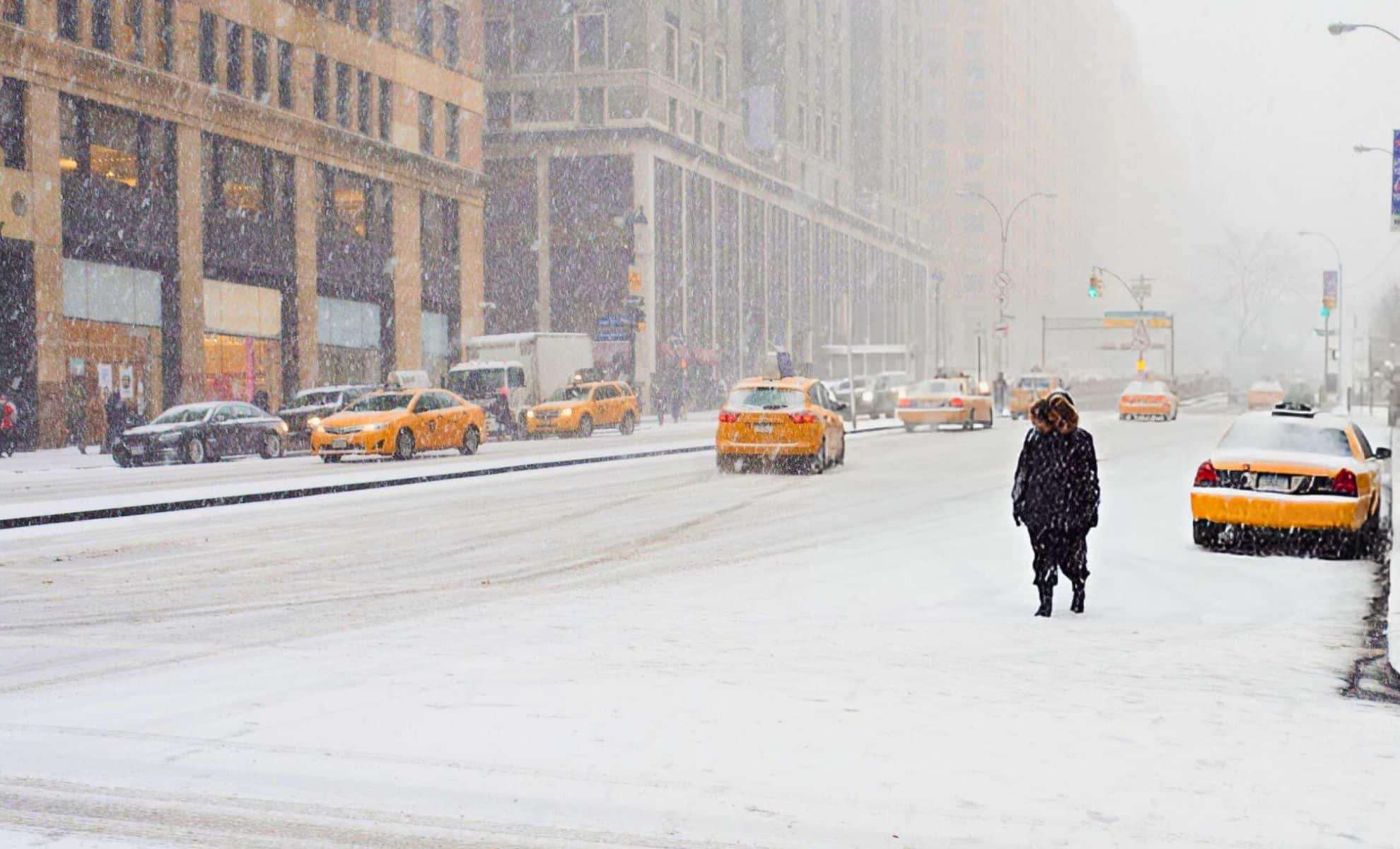
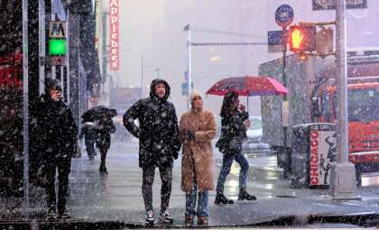
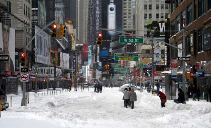
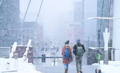
Forecast for New York City’s Winter Weather
New York City awaits its first major snow event of the season, which remains uncertain. Weather experts anticipate an Alberta Clipper system to traverse the area late in the week. Positioned on the storm's edge, NYC may only witness light snowfall, as temperatures are forecasted near the low 40s Fahrenheit. Snow accumulation is expected to be minimal, with light flurries possible on Saturday.
While the Alberta Clipper might not bring extensive snow, it will usher in chilly conditions and could complicate commute times, particularly due to wind chill factors. Overall forecasts suggest a winter total snowfall of about 20 inches for the city, slightly less than the average of 28 inches.
Extended Winter Forecast for NYC
Despite the expected reduced snowfall, New York City is likely to experience a warmer-than-average winter. Temperatures are projected to stay above seasonal norms over the coming months. Long-term models indicate that January and February may see more rain than snow, with mixed precipitation expected to create the main winter disruptions. Summed snowfall is predicted to finish below average, with estimates between 18 and 23 inches by season’s end.
For the boroughs of Queens and Brooklyn, snowfall totals are anticipated to be even lower. Historically, these areas receive less snow than Manhattan or The Bronx, a pattern expected to continue this winter.
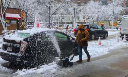
Effect on Transportation and Utilities
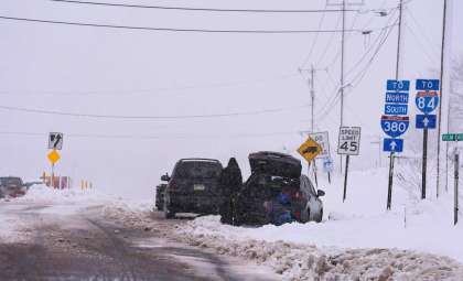
Current concerns focus on how the snow will influence travel and infrastructure in both upstate New York and New York City. Heavy snow in upstate areas threatens to disrupt transportation in counties like Onondaga, Cattaraugus, and Madison—including problematic corridors such as Interstate 81 and Route 390. Some local roads in Syracuse and Rochester might become impassable for days, and power outages related to downed lines have already been reported in remote communities.
In New York City, despite light snowfall expectations, slippery sidewalks and delays in public transit remain potential issues for commuters. The MTA has prepared for possible service interruptions on bus and subway routes due to wet snow and ice. Emergency services are on alert, ready to respond to sudden snow or freezing rain events, especially if temperatures drop quickly.
- Categories:
- News ,
- Climate change


0 comments
Sign in to Comment