
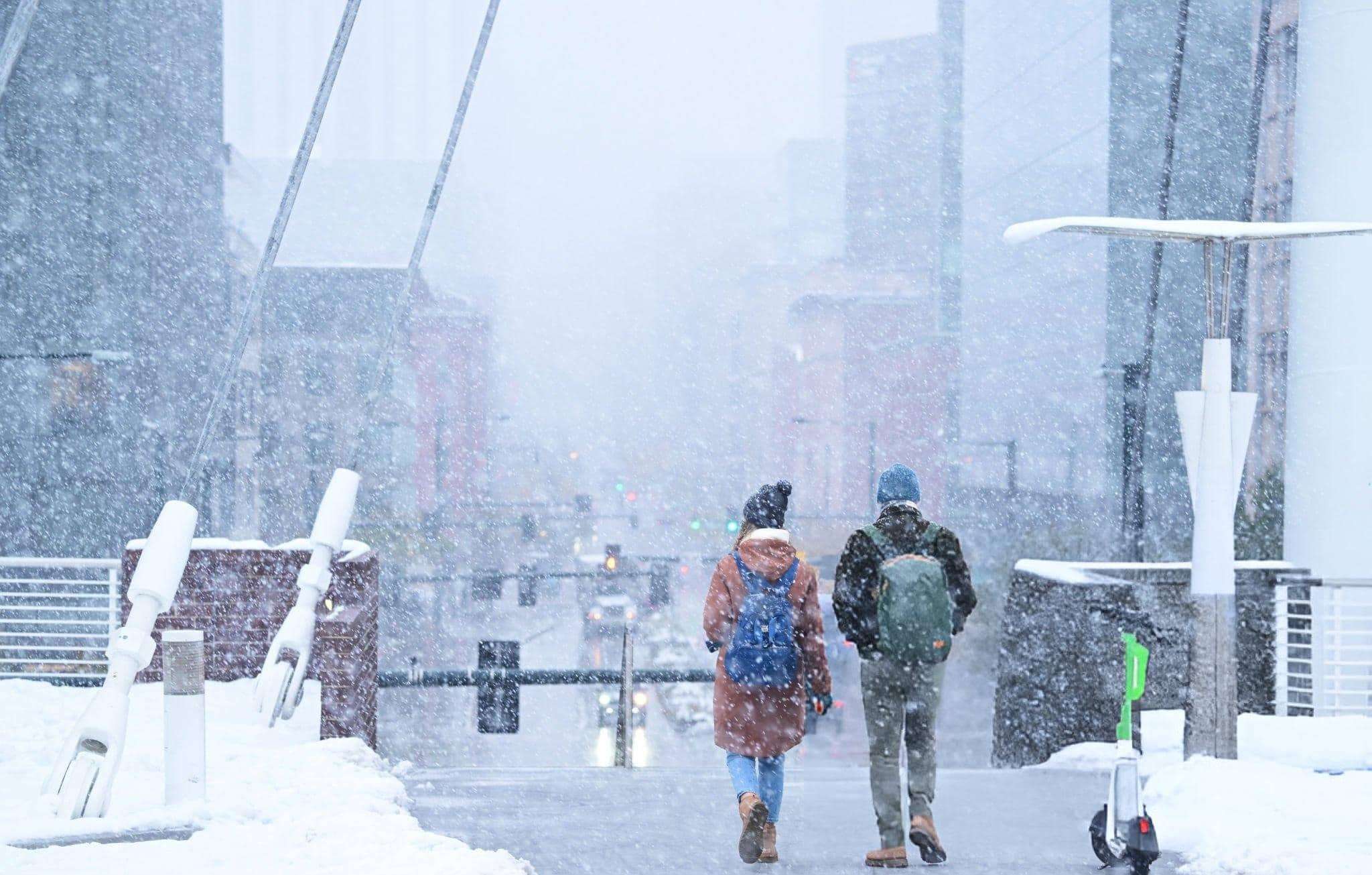
The National Weather Service (NWS) has released alerts highlighting the threat of intense winter conditions and significant snowfall impacting broad areas of the United States following Thanksgiving. This warning arrives as millions gear up for travel during one of the year’s busiest holiday periods.
Substantial Snowfall Forecasted for Northeast and Great Lakes Areas
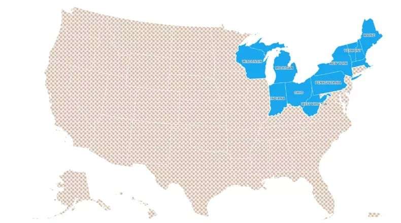
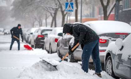
A formidable winter system is projected to deposit heavy snow over 11 states primarily located in the northern and northeastern U.S. These states include Wisconsin, Michigan, Indiana, Ohio, West Virginia, Pennsylvania, New York, Massachusetts, Vermont, New Hampshire, and Maine. Snowfall is expected to begin on November 29 and persist throughout the holiday weekend, with accumulations that might severely impact travel arrangements.
The NWS Climate Prediction Center estimates a 20 to 40 percent probability of heavy snow in these regions, coupled with below-average temperatures and strong winds. These elements are likely to cause dangerous icy roads, limited visibility, and possible power interruptions.

Extensive Winter Alerts Issued Across 15 States
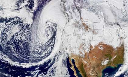
Alongside the snowfall warnings, numerous winter storm watches and advisories have been declared in 15 states, including Maryland, Idaho, California, Pennsylvania, and Nevada. This developing storm system stems from a large-scale low-pressure pattern, ushering in the season's coldest air mass across many parts of the nation.
The northern plains are expected to endure extremely cold temperatures, potentially plunging below -10 °F (-23.33 °C) in certain locations. Dangerous wind chills and a moderate likelihood of strong winds (with up to a 40 percent chance) could further aggravate conditions.
Travel Disruptions and Recommended Safety Measures
Key routes such as Interstate 90, Interstate 94, and Interstate 80 may experience hazardous driving conditions including icy surfaces and snow buildup, potentially leading to travel delays and accidents. Areas facing freezing rain could also encounter localized outages affecting power services.
The severity of the snowfall and related dangers could create major obstacles for travelers, leading officials to emphasize preparedness. To enhance safety and minimize travel interruptions, travelers should consider these tips:
- Stay updated with current weather bulletins and road status particularly along your chosen travel corridors to anticipate any sudden closures or hazardous spots.
- Stock your vehicle with essential emergency gear such as warm blankets, water, a flashlight, and a mobile charger to handle unexpected delays or roadside emergencies.
Adopting these precautionary strategies is crucial to navigating the storm safely during this high-travel period.
- Categories:
- News ,
- News ,
- Climate change ,
- Climate change


0 comments
Sign in to Comment