
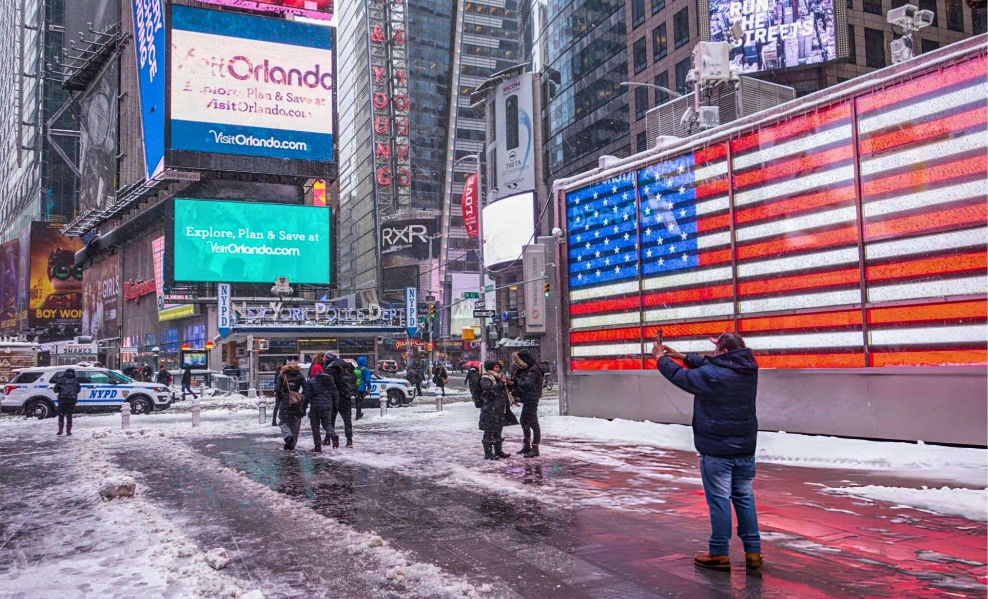
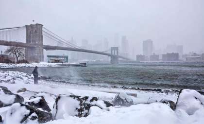
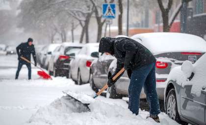
The Northeastern United States is gearing up for challenging travel conditions as a swift-moving clipper system from Canada intersects with a coastal low-pressure system along the East Coast. This meteorological interaction, called an East Coast energy transfer, may bring significant snowfall to parts of the I-95 corridor, affecting major metropolitan areas such as Boston, New York City, and Philadelphia.
Formation of the Weather Systems
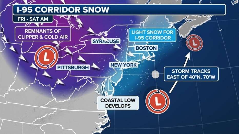
The approaching clipper system, known for its quick pace and relatively low moisture, is forecasted to reach the Northeast by Friday afternoon, initiating snowfall. Simultaneously, a coastal low-pressure formation near the Carolinas will contribute additional moisture and energy to the mix.
FOX Weather Meteorologist Michael Estime explains that the clipper’s energy might be "absorbed" by the coastal low, influencing where and how much snow will fall, particularly in coastal cities. As this low moves northeastward, it may strengthen, boosting precipitation chances in northern New Jersey, the lower Hudson Valley, and eastern Massachusetts.

Projected Snowfall Timelines
The snowstorm is anticipated to begin Friday evening with accumulation continuing into Saturday morning. Following the storm, a surge of cold air will rapidly lower temperatures. Meteorologist Mike Woods of FOX 5 NY notes, “Expect a quick transition late Friday into very early Saturday, with colder air advancing quickly afterward.”
Post-storm temperatures could dip into the teens and even single-digit readings in parts of the Northeast early next week.
Snow Accumulation Forecasts and Influencing Factors
Along the I-95 Corridor and Adjacent Regions
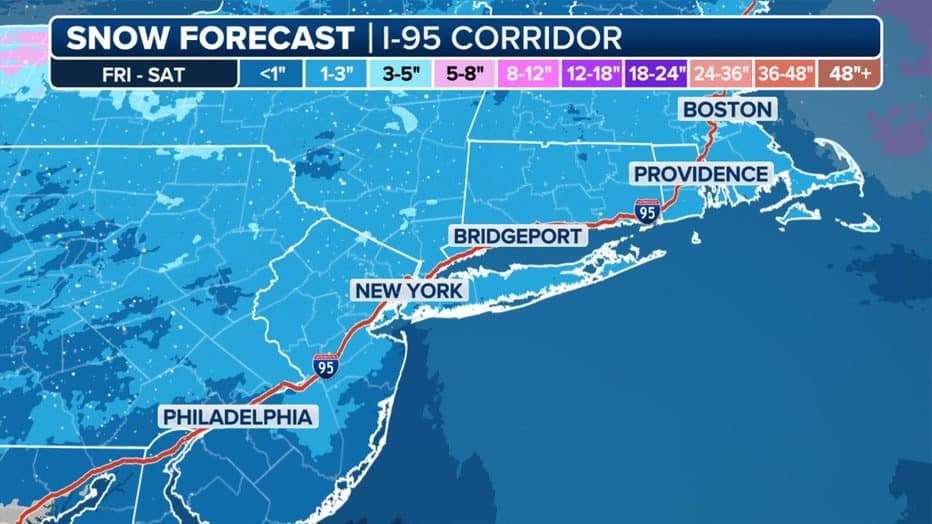
Snowfall amounts will vary based on timing, moisture levels, and available cold air. FOX Weather Meteorologist Jane Minar emphasizes the importance of timing and moisture: “Key questions include when the system arrives, how much moisture will be available, where the low settles, and the cold air distribution.”
Initial projections estimate 1 to 3 inches of snow for sections of the I-95 corridor, particularly northwest of New York City and in surrounding northern suburbs. Cities along the coast such as New York City and Philadelphia might experience lower totals because of potential rain mixing.
Snow Forecast for Boston and Northern New England
Boston and southern New Hampshire stand in a more favorable position for snowfall due to colder air placement. Certain areas in eastern Massachusetts and southern Maine might see over 3 inches of snow accumulation.
Hudson Valley and Upstate Snow Outlook
In the lower Hudson Valley, including Poughkeepsie and White Plains, snowfall totals may be a bit higher, ranging between 2 and 4 inches. Further north, the Catskills and Adirondacks are likely to experience heavier snowfall given the dominance of cold air masses.
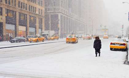
Seasonal Outlook for New York City
Winter officially begins with the solstice on Saturday, December 21, the shortest day of the year. This upcoming storm may offer an early look at the winter ahead. Nick Gregory of FOX 5 NY forecasts a season with warmer than average temperatures and less snowfall than usual for New York City.
He projects New York City will receive between 18 and 23 inches of snow this season, below the typical 28-inch average. The lower Hudson Valley expects closer to 20 to 25 inches. This difference stems from warmer coastal conditions causing more rain-snow mix events, while inland regions could see colder, snowier weather.
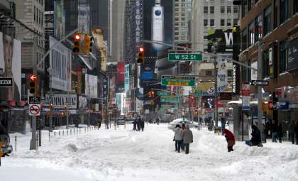
Travel Impacts and Preparedness Advice
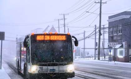
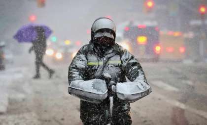
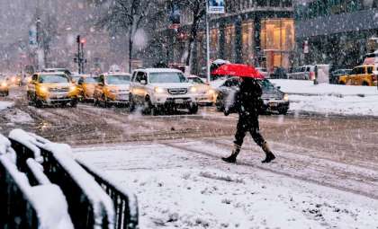
The storm threatens to disrupt travel, notably during Friday’s evening commute and early Saturday. Northern stretches of I-95, including Hartford, Providence, and Springfield, might face slick roads, increasing the risk of accidents on untreated surfaces. Meanwhile, Philadelphia and New York City may mostly contend with light snow or slush.
Officials urge residents and travelers to stay informed through updated forecasts, anticipate delays, and prepare for the cold temperatures expected after the storm. This event illustrates the unpredictable nature of northeastern winters, where rapidly changing conditions can vary dramatically over short distances due to complex atmospheric interactions.
- Categories:
- News ,
- Climate change


0 comments
Sign in to Comment