
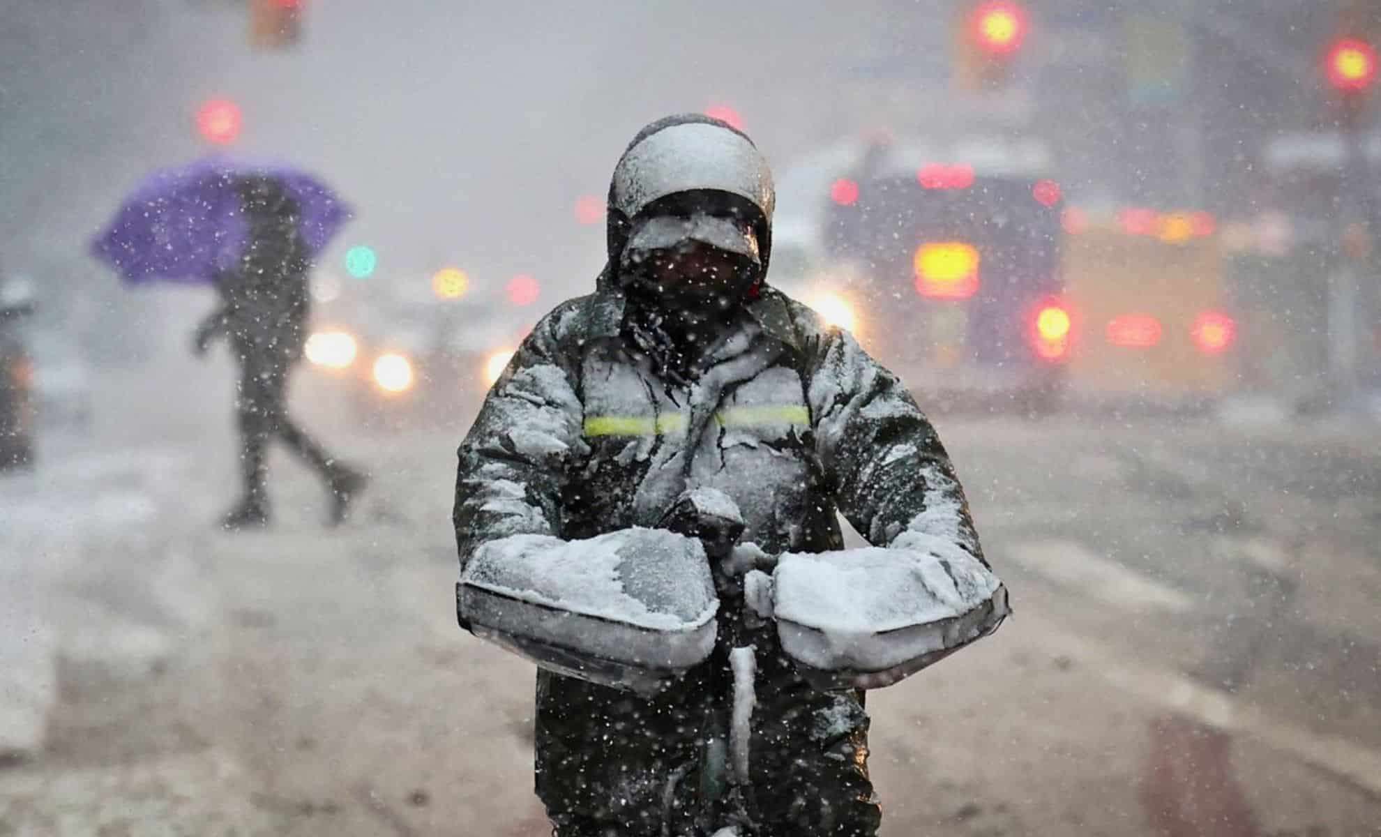
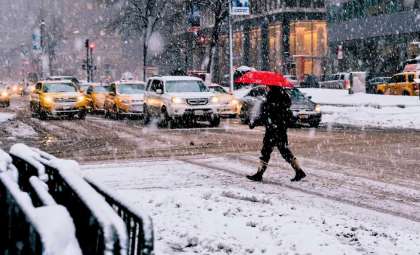
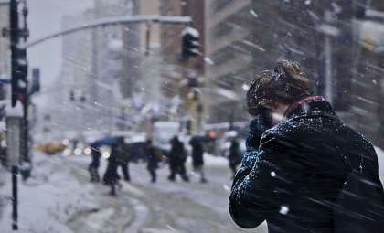
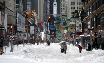
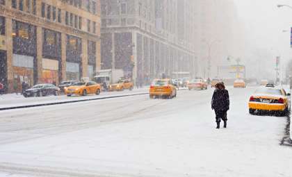
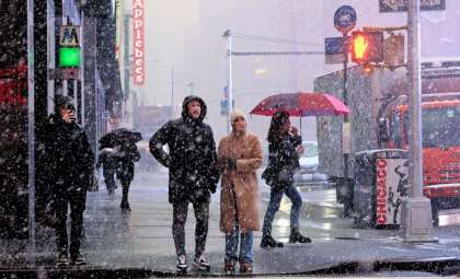
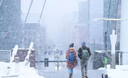
Numerous weather warnings have been released for New York State and adjacent areas as winter storms grow more severe. From freezing rain and flood watches to heavy snowfalls and thick fog, the National Weather Service and regional officials advise residents to prepare for demanding weather conditions.
Winter Weather Advisory Issued in Select New York Counties
On Tuesday, December 10, 2024, the National Weather Service announced a winter weather advisory covering Hamilton, Warren, and Fulton counties until 10 a.m.. Motorists should anticipate freezing drizzle with possible minor ice accumulation. As temperatures climb above freezing, precipitation is expected to shift to drizzle or light rain.
Areas of Concern
- Lake George (Warren County): A popular winter destination, officials advise caution when traveling near the lake and surrounding routes.
- Route 30 (Hamilton County): This scenic highway may become perilous due to ice buildup, urging careful navigation.
The National Weather Service has underscored the likelihood of slippery roads, bridges, and sidewalks, especially during the morning rush. Hazardous travel conditions could develop rapidly.

Authorities recommend that drivers reduce speed, exercise vigilance, and be prepared for potential power disruptions. Vehicles should carry essential items like blankets, flashlights, and water supplies.
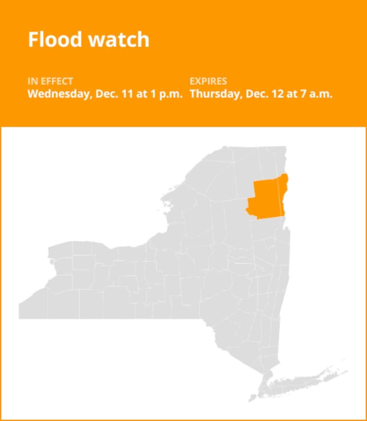
Flood Watches Alert Residents in Washington and Essex Counties
Flood watches are active for Washington County and Essex County, beginning 1 p.m. Wednesday, December 11, 2024, through Thursday, December 12, 2024.
Flood-Prone Zones
- Washington County: Areas along the Hudson River and other low elevations face heightened flood risks because of intense rainfall.
- Essex County: Melting snow combined with rain increases dangers of river overflow and flash flooding near spots like Lake Placid and Keene Valley.
Residents should keep an eye on water levels in rivers and creeks, as excessive rain might cause flooding in streams and shallow regions. The National Weather Service also cautions about flood risks in areas with poor drainage, including urban settings in these counties.
Recommendations for Flood Safety
- Seek higher ground immediately if flooding occurs.
- Never drive into floodwaters, as 12 inches of fast-moving water can sweep away most vehicles.
- Turn off utilities and unplug appliances to minimize flood hazards.
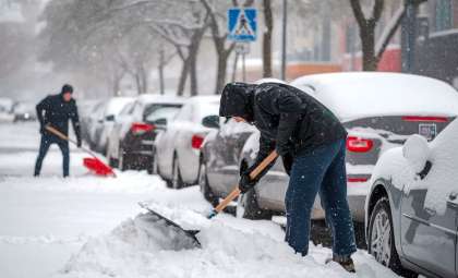
Winter Storm Watch Announced for Northern New York
Residents in Oswego, Jefferson, and Lewis counties should brace for a possible winter storm expected from Wednesday night through Friday evening. The National Weather Service forecasts above 12 inches of snow in some locations due to lake-effect snow bands.
Travel Alerts
- Localized snow bands may cause rapidly shifting visibility and hazardous road conditions, particularly near the I-81 corridor.
- Winds up to 35 mph could create drifting snow, complicating travel. Non-essential trips should be postponed, and travelers should prepare for low visibility and snow-covered highways.
Additional Dangers From Heavy Snow
- Snow drifts and blowing snow could severely limit visibility and block roads, leading to dangerous conditions along routes such as I-81.
- Authorities caution about the volatile nature of lake-effect snow, which can cause widely varying weather within short distances.
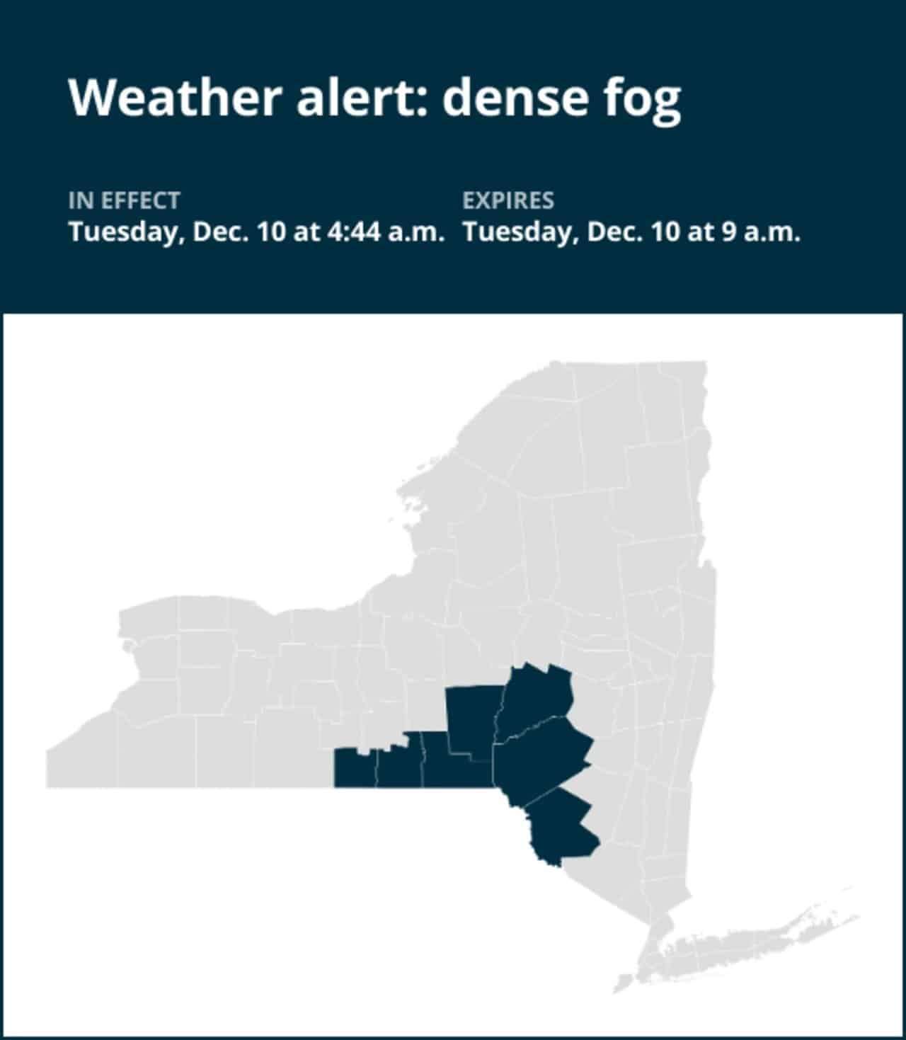
Thick Fog Reduces Visibility in Southern New York
An early Tuesday fog advisory covers Chemung, Broome, Delaware, and nearby counties. Visibility may fall below a quarter of a mile, making driving particularly risky.
Fog Driving Tips
- Operate low-beam headlights to improve sight, and use fog lights if equipped.
- Keep a safe distance from other vehicles and allow extra travel time.
- If visibility drops nearly to zero, pull over safely and activate your hazard lights. The National Weather Service warns that dense fog may linger until 9 a.m., creating hazards for early commuters.
Weather Impacts Extend to Neighboring States
The same storm system affecting New York is generating hazardous weather across several nearby states:
Pennsylvania
Heavy rain followed by snow is expected statewide by Wednesday, especially in Western Pennsylvania and the Pocono Mountains. These shifts could produce flooding, with flash flood alerts possible where snowmelt raises runoff levels.
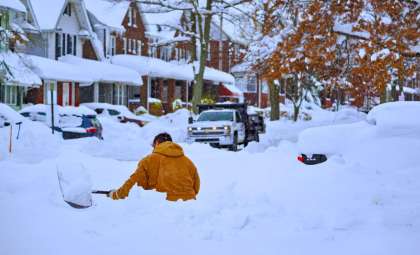
Minnesota
Snow depths exceeding 10 inches (25.4 cm) have been recorded in parts of Northern Minnesota. The progressing storm may bring significant snowfall to Wisconsin and sections of Michigan, with worsening conditions anticipated further east in Indiana and Ohio.
Winter and Flood Safety Tips for the Region:
- Follow local weather forecasts closely for real-time updates on snow and flood events.
- Avoid travel during the storm's peak, especially in Minnesota and Pennsylvania, where conditions may deteriorate rapidly overnight.
Be Proactive in Severe Weather Preparedness
With various advisories active, including winter weather warnings, flood watches, and dense fog alerts, it’s crucial for residents of New York and its neighbors to stay updated. Community leaders and meteorologists continue monitoring the evolving situation, providing critical information as conditions unfold.
Keep up with local bulletins and take all necessary safety steps to reduce the impact of these intense weather events.
- Categories:
- News ,
- Climate change


0 comments
Sign in to Comment