

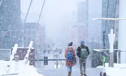
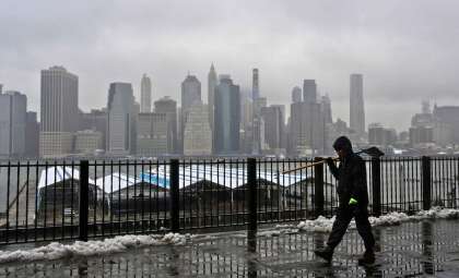
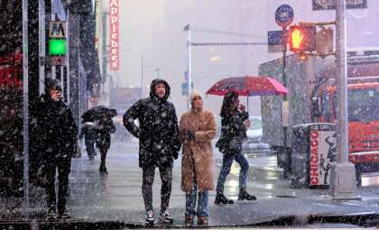
A powerful winter storm is poised to impact the United States, generating intense blizzard warnings, lake-effect snow, and extremely challenging travel environments. Parts of the Northeast, Midwest, and Appalachian regions are forecast to receive as much as 18 inches of snow, accompanied by fierce winds and greatly reduced visibility. This event follows closely after significant snowfall recently recorded in New York State.
Regions Facing the Brunt of Blizzard and Lake-Effect Snow
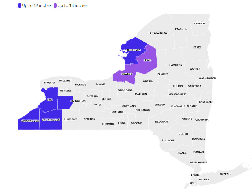
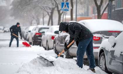
New York State: Snow Totals Could Reach 18 Inches
Beginning Thursday night, upstate New York will experience increasing winter storm intensity. Locations such as Oswego and Lewis counties might see up to 18 inches (45.72 cm) of snow due to lake-effect influences. The National Weather Service highlights that “blowing snow driven by strong winds will sharply reduce visibility,” posing additional hazards for travel.
These counties are still managing the aftermath of the heavy snowfall from the Thanksgiving weekend storm, which brought up to 5 feet (1.52 meters) of snow in some areas. Current alerts include lake-effect snow warnings, winter storm warnings, and blowing snow advisories, all contributing to limited visibility and dangerous conditions.

Maryland and West Virginia: Severe Blizzard Situations
West Virginia and Maryland are bracing for strong blizzard effects, with wind speeds forecasted to reach 60 mph (96.56 km/h). These harsh conditions will trigger sudden snow squalls combined with powerful gusts. According to the National Weather Service, “blizzard conditions are expected to create extremely hazardous driving situations” due to near-zero visibility. Officials strongly recommend avoiding travel whenever possible. In West Virginia’s Grant and Pendleton counties, snowfall could accumulate to 9 inches (22.86 cm), with mountainous areas particularly at risk.
Below is a summary of the regions impacted and their snowfall projections:
Snowfall Predictions: Ongoing Intense Storm
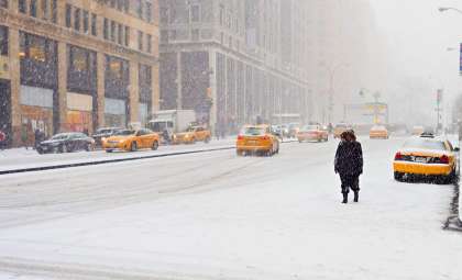
Forecasters expect the snow to persist across vast areas of the Northeast and Midwest, with strong wind gusts continuing throughout the storm duration. Lake-effect snow will remain active through Friday evening, especially in areas located south and east of the Great Lakes. The NWS states that “snowfall will continually accumulate, increasing the risk of hazardous travel conditions”.
- In zones near the Great Lakes, particularly around Buffalo and Rochester, snowfall amounts are projected to be between 12 and 18 inches (45.72 cm), accompanied by substantial blowing snow, severely limiting visibility and travel safety. Weather.com reports that “snow intensity is rising and will result in near-zero sightlines”.
- Blowing snow advisories are also in place, with strong wind warnings affecting Pennsylvania, Ohio, and Vermont.
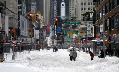
Travel Disruptions: Drivers Urged to Exercise Extreme Caution
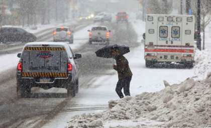
Roadways are expected to become treacherous and near impassable. Authorities have issued strong recommendations to postpone travel or remain indoors in affected locations. The National Weather Service cautions that “road conditions will be perilous, especially on untreated surfaces”. Major highways including Interstate 68, Highway 219, and Interstate 90 will face significant disruptions due to blowing snow and snow squalls which may reduce visibility to almost zero intermittently.
The National Weather Service also warns of a heightened chance of power failures triggered by strong wind gusts that could topple trees and power lines. “Thousands of residences may lose electricity because of the fierce winds and heavy snowfall,” stated the NWS in recent advisories.
- Categories:
- News ,
- Climate change


0 comments
Sign in to Comment