
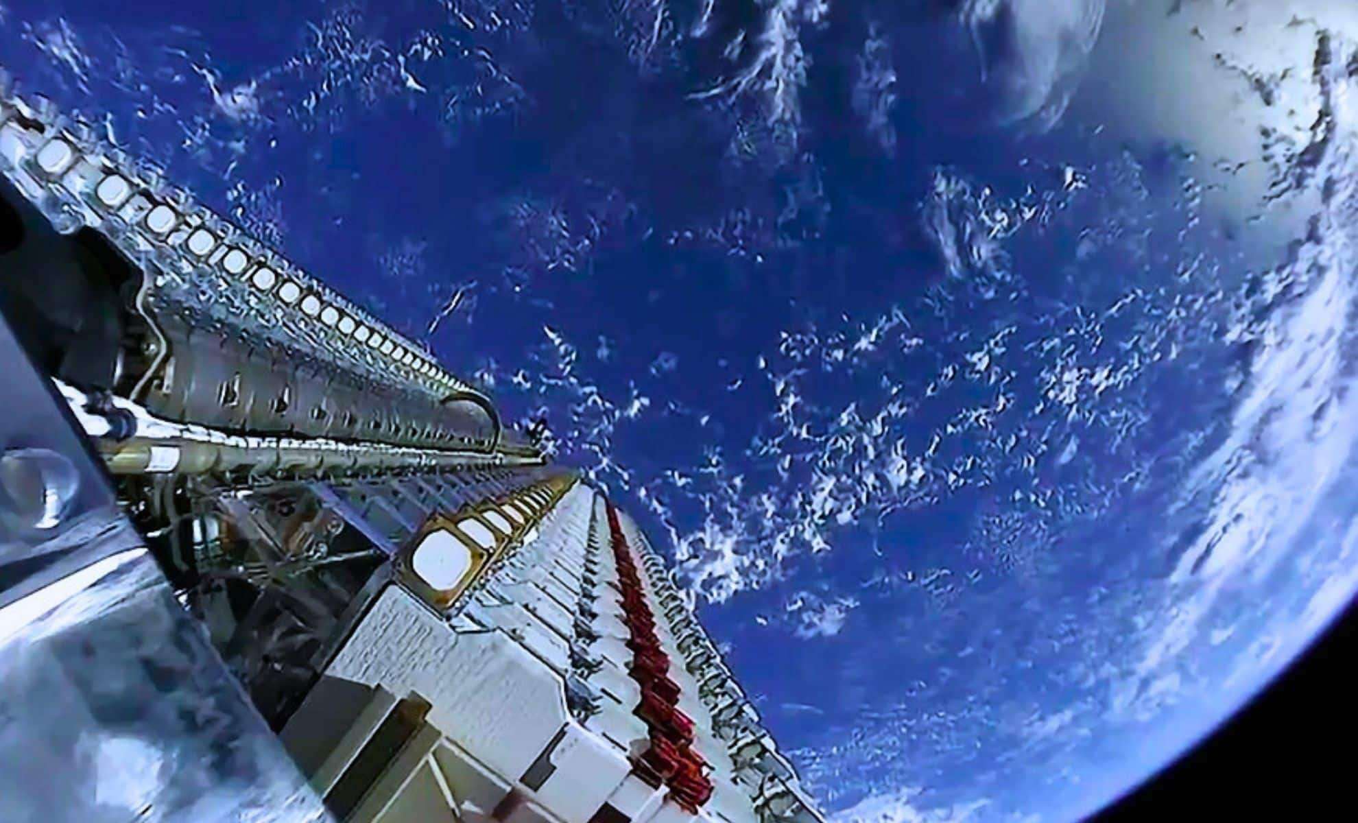
Scientists at TU Graz have unveiled an innovative method to utilize Starlink and similar communication satellites for environmental surveillance and climate research. By examining signal alterations driven by the Doppler effect, they can detect variations in Earth's gravitational field, track sea level dynamics, and even monitor weather patterns in real time.
The Untapped Potential of Communication Satellite Signals
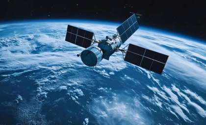
Typically, satellites from networks like Starlink, OneWeb, and Amazon's Project Kuiper are built to facilitate internet access and telecommunication, rather than scientific data gathering. Nonetheless, researchers at the Institute of Geodesy at TU Graz saw an opportunity to repurpose the continuous streams of signals these satellites emit.
Through precise evaluation of the frequency variations occurring as signals traverse space, the team extracted valuable insights about Earth’s gravitational fluctuations and environmental transformations. This advancement is part of the FFG project Estimation, which investigates innovative data sources for geodetic measurements.

How the Doppler Effect Enables Earth Observation
At the heart of this innovation is the Doppler effect, the phenomenon responsible for the changing pitch of moving sounds like ambulance sirens. As satellites move relative to ground receiving stations, subtle shifts in signal frequency occur. By meticulously following these shifts, scientists can infer how Earth’s gravitational forces influence satellite orbits.
Environmental factors such as rising sea levels, diminishing groundwater sources, and melting ice sheets impact gravity and thereby modify satellite trajectories. Capturing these subtle orbital changes enables fine-grained environmental mapping.
Overcoming Data and Technical Hurdles
A significant challenge is that companies like SpaceX, OneWeb, and Amazon do not openly share detailed signal structures or precise orbital data for their satellites, complicating scientific analysis.
Despite this, the team at TU Graz identified consistent frequency markers within Starlink broadcasts.
Monitoring how these markers shift with satellite movements allowed them to estimate positions with about 54 meters accuracy. While not yet suitable for cutting-edge geodesy, it demonstrates the approach’s promise.
Enhancing Accuracy for Earth Science Applications
The researchers are advancing their work by developing mobile tracking antennas capable of real-time satellite following. Increasing observations and refining data processing are expected to reduce positional inaccuracies to only a few meters.
This refinement could unlock near real-time, detailed observations of Earth's gravitational field and short-term environmental variations such as:
- Severe weather occurrences like storms and heavy rainfalls
- Ocean level shifts
- Groundwater reductions
- Glacial mass changes
This novel approach has the potential to complement existing geodetic satellite missions by delivering persistent, up-to-date environmental intelligence.
A Breakthrough for Climate Monitoring and Geodesy
The capacity to harness existing communication satellite networks for Earth observation marks a significant advancement in geoscience. Instead of relying only on dedicated scientific satellites, researchers can tap into thousands of Starlink and OneWeb satellites already operating in orbit, enhancing both data scope and precision.
Philipp Berglez, a key researcher at TU Graz, highlighted that this method solely tracks satellite orbit variations using signal frequency, without any form of message decoding. The emphasis stays on refining insights into Earth’s gravitational variations and climatic shifts.
- Categories:
- Science


0 comments
Sign in to Comment