
Greenland is not only experiencing ice melt due to climate change but is also undergoing a gradual northwestward shift. Advanced satellite measurements reveal that the island’s landscape is slowly adjusting as its thick ice sheet thins, with ground movements tracked down to millimeter precision.
Beyond Ice Melt: Greenland’s Surface is in Motion
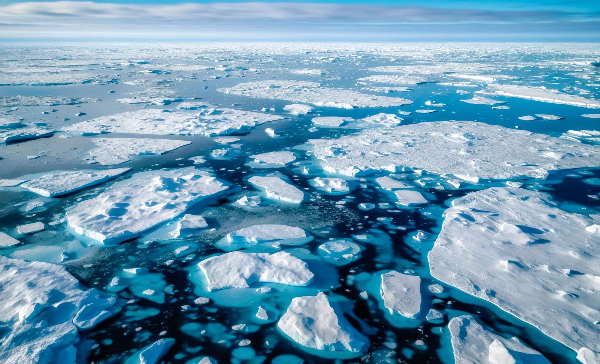
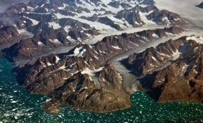
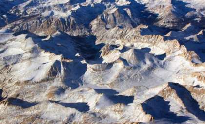
Common perceptions depict Greenland as a static, icy expanse nestled between the Arctic and Atlantic Oceans. Yet beneath its expansive ice covering nearly 1.8 million square kilometers, the Earth's crust is responding to the diminishing mass of ice. The reduction in weight alleviates pressure on the bedrock below, leading to a notable physical displacement of the island over time.
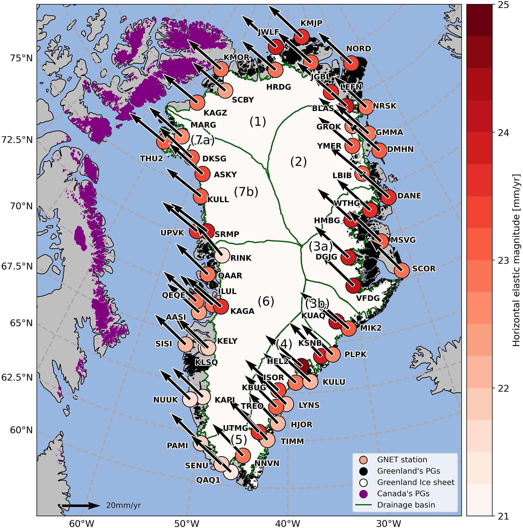
Researchers from the Technical University of Denmark have identified Greenland drifting about two centimeters annually towards the northwest. While seemingly minor, this shift is significant in geological research. Their findings, detailed in the Journal of Geophysical Research: Solid Earth, also reveal that Greenland’s terrain is simultaneously expanding and contracting in different regions, a complex phenomenon beyond initial expectations.

Land Expands, Contracts, and Moves in Unexpected Ways
Originally, scientists predicted that Greenland’s crust would mostly expand as the heavy ice mass gradually eased, causing a gentle stretching. However, satellite tracking paints a more intricate picture.
“We discovered substantial zones where the landmass is actually contracting or being ‘pulled inward,’” explained Danjal Longfors Berg, a geodesy expert at DTU and co-author of the study. This contraction occurs alongside areas of outward movement, suggesting the island’s crust responds unevenly, almost as if it’s rhythmically breathing in response to the shifting subsurface forces.
Utilizing data from 58 GPS stations across Greenland, the scientists tracked both vertical uplift and horizontal displacement in the bedrock—offering a remarkably detailed view of terrain movement seldom seen before. Melting ice thus reveals only part of the story; the land beneath is actively deforming, adapting to new geological stress conditions.
Long-Term Shifts with Global Implications
To contextualize these changes, the research team developed a comprehensive model extending Greenland’s land movements over the past 26,000 years, reaching back to the last Ice Age. This deep historical approach highlights that while land motion is not new, current shifts are occurring more rapidly and under unprecedented conditions in human history.
By integrating GPS data, the scientists constructed a dynamic map outlining Greenland’s historical and potential future movements. Presently, the phenomenon represents more than just rapid ice sheet loss—it marks the ongoing, slow rewriting of Greenland’s geological layout, occurring at a pace measured in mere centimeters each year.
- Categories:
- News


0 comments
Sign in to Comment