
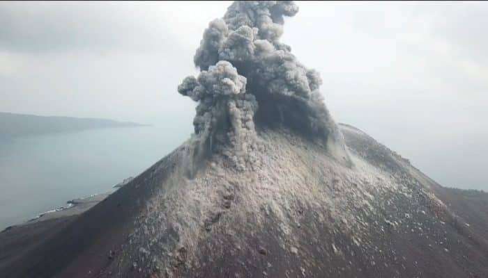
Back in 2018, Indonesia’s Anak Krakatau volcano erupted catastrophically, unleashing a tsunami that tragically claimed over 400 lives. What remained undiscovered at the time was that this disaster was preceded by years of gradual, barely noticeable ground displacement.
A recent investigation, published in AGU, suggests that monitoring these subtle movements via satellite technology in real time might have predicted the impending event.
Over a Decade of Slow Movements
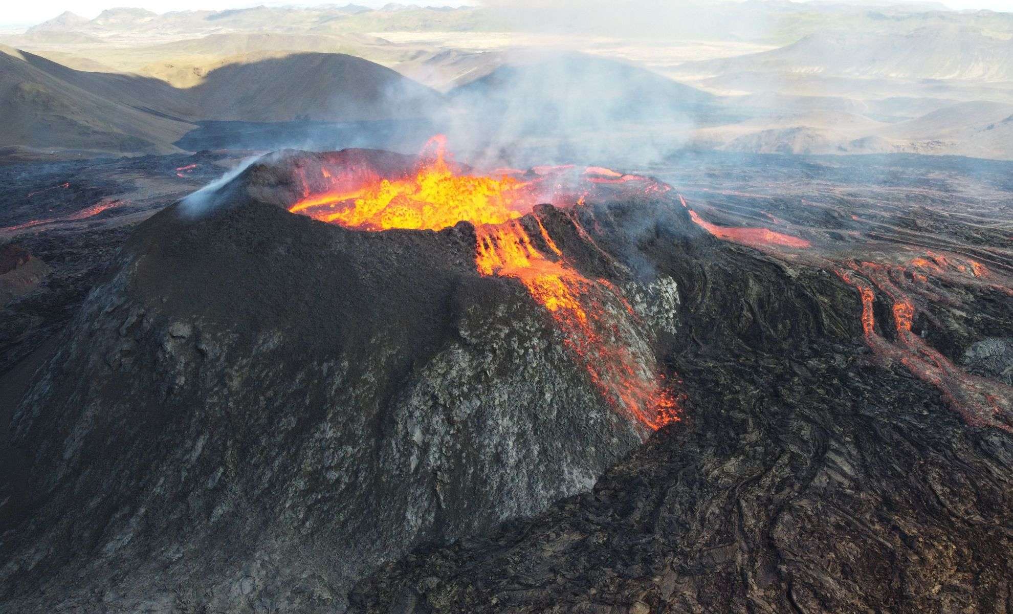
The Anak Krakatau eruption ranks among the most fatal volcanic events in recent decades. The collapse of its southwestern slope, which caused the devastating tsunami, was not an instantaneous occurrence.

Researchers at Penn State discovered that the volcano’s flank had been gradually shifting for many years, with notable acceleration in the months leading up to the eruption. Employing Interferometric Synthetic Aperture Radar (InSAR), they examined satellite radar imagery spanning more than ten years, unmasking hidden subsurface movements.
InSAR: Capturing Minute Earth Surface Changes
InSAR is a sophisticated satellite-based radar method that can detect extremely slight shifts in the Earth's surface—down to inches. Analyzing data from satellites such as ALOS-1, COSMO-SkyMED, and Sentinel-1, the study team mapped the prolonged deformation of Anak Krakatau’s western flank.
Young Cheol Kim, a Penn State PhD candidate and lead author, stated, “The detachment fault showed about 15 meters (approximately 50 feet) of movement between 2006 and 2018, with phases of speeding up and slowing down, including a marked acceleration immediately before the 2018 collapse.”
The Gradual Landslide That Led to Disaster
The research indicates the volcanic flank failure wasn’t abrupt but akin to a slow-moving landslide, with the structure shifting progressively over many years. Penn State associate geosciences professor Christelle Wauthier, co-author, explained, “The entire segment of the volcano that eventually collapsed was gradually sliding—like a slow landslide. Tracking how this deformation evolves over time is crucial, since acceleration often signals an impending collapse.”
Advancing Volcano Disaster Prevention Through Real-Time Monitoring
Real-time surveillance of such movements could revolutionize mitigation strategies for future volcanic catastrophes. Presently, ground-based GPS monitoring is often limited in active volcanic regions due to safety, cost, and logistical barriers. Alternatively, satellite InSAR data can offer remote, continuous tracking.
Wauthier stressed, “Rapid acceleration in slip may be a vital warning of collapse. Whether it is this volcano or others at risk worldwide, near-real-time InSAR observations could alert scientists to significant shifts when ground data isn’t accessible.”
Revolutionizing Volcanic Risk Forecasting
Although the InSAR method has been around, the scale and depth of this particular study are unmatched. Utilizing the powerful Roar computing cluster at Penn State, researchers processed and integrated hundreds of radar scans, unveiling Anak Krakatau’s hidden ground shifts over more than a decade.
This kind of detailed long-term monitoring could transform hazard prediction for volcanoes, especially where conventional instruments aren’t viable. The study also stands as a poignant reminder of how emerging technologies have the potential to save lives. As Wauthier reflected, “This work, though retrospective, shows we could have forecasted the collapse if remote sensing data on surface deformation had been available.”
- Categories:
- News


0 comments
Sign in to Comment