
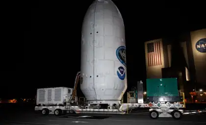
Following its launch on July 30, 2025, the NASA-ISRO Synthetic Aperture Radar (NISAR) mission has successfully passed vital system tests and is on track to begin sending valuable scientific data later this year, reports NASA Science. This collaboration between NASA and the Indian Space Research Organisation (ISRO) stands as one of the most significant international efforts in Earth monitoring. By uniting advanced radar technologies from both agencies, NISAR aims to deliver unprecedented insights into Earth's land and ice changes that are vital for understanding climate trends, natural disaster response, and management of natural resources.
A Landmark Partnership in Earth Science
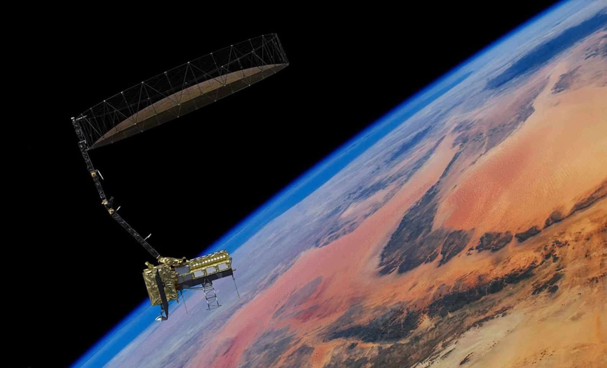
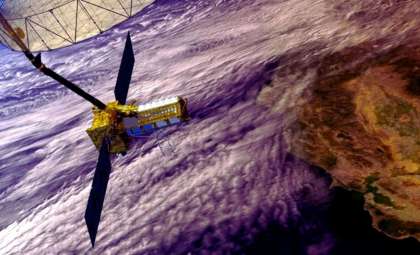
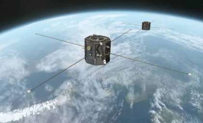
NISAR embodies years of collaboration blending expertise from the U.S. and India. Coordinated by NASA’s Jet Propulsion Laboratory (JPL) in California and ISRO’s U R Rao Satellite Centre in Bengaluru, the mission highlights the power of international teamwork in addressing planetary challenges. On August 15, engineers successfully deployed the satellite’s expansive 39-foot (12-meter) radar reflector, confirming the operational readiness of its dual radar systems. Subsequently, on August 26, NISAR began ascending to its designated orbit 464 miles (747 kilometers) above Earth, enabling it to capture detailed, recurring images of Earth's surface every 12 days. This frequent revisit cycle supports continuous observation of changes in forests, glaciers, urban areas, and continental landscapes.
The mission showcases a balanced technological partnership: NASA supplied the L-band radar, the reflector and boom assembly, communication hardware, and data systems, while ISRO provided the S-band radar, spacecraft platform, and launch services launched from the Satish Dhawan Space Centre. ISRO’s Telemetry, Tracking, and Command Network manages satellite operations and data security. Beyond technology, this partnership emphasizes a shared vision of space research that transcends national borders.

Innovative Dual Radar Design
Central to NISAR’s groundbreaking capabilities is its pioneering radar payload encompassing two Synthetic Aperture Radar (SAR) systems. According to NASA, “The NISAR mission is the first to carry two SAR systems. The L-band radar transmits and receives signals at a 10-inch (24-centimeter) wavelength, enabling it to penetrate forest canopies and measure soil moisture, forest biomass, and the motion of land and ice surfaces. The S-band radar, which uses a 4-inch (10-centimeter) wavelength, is more sensitive to small vegetation and observing certain types of agriculture, grassland ecosystems, and moisture in snow. Both systems can collect data through clouds and precipitation, day and night.”
This dual-frequency approach advances Earth observation science by enabling more detailed detection than previous missions using single-frequency radars. The L-band radar penetrates dense tropical forests to estimate carbon storage in biomass and to track real-time deforestation. Meanwhile, the S-band radar detects fine scale variations in snow, crops, and grasslands, providing valuable data for farming and water management. Together, these radars paint a fuller picture of Earth’s dynamic environment—from tectonic movements beneath the surface to seasonal vegetation shifts on the landscape.
Monitoring Earth’s Rapid Changes
With a revisit frequency of around twice every 12 days, NISAR covers most terrestrial and icy regions with impressive precision. Its instruments can detect ground displacement with sub-inch accuracy, making it an essential tool for tracking earthquakes, volcanic eruptions, and landslides. By capturing before-and-after images of natural calamities, scientists can improve understanding of these events and enhance early-warning systems.
The mission also addresses long-term environmental shifts, monitoring glacier melt, permafrost thaw, and sea ice fluctuations—all pivotal factors affecting global sea levels and climate patterns. Farmers and water managers benefit from timely updates on soil moisture and vegetation health, while conservationists utilize the data to monitor deforestation, wetland degradation, and desert expansion. By providing open access to its extensive datasets, NISAR empowers policymakers, researchers, and communities worldwide with actionable environmental intelligence.
Continuing a Tradition of Scientific Alliance
NISAR marks both a technological milestone and the fruition of decades-long collaboration between the US and India in space exploration. From the launch operations at Satish Dhawan Space Centre to coordinated engineering feats between JPL and ISRO, the partnership exemplifies the advantages of shared expertise and investment. As the mission moves fully into its science-gathering phase, it is expected to establish new benchmarks for observing Earth from space.
The mission’s triumph will be gauged not only by the vast volume of collected radar data but by how effectively that information supports tackling urgent global challenges. Whether aiding drought prediction for agriculture, supplying early alerts for landslides, or measuring carbon fluxes in tropical forests, NISAR is set to transform Earth science into practical solutions on a worldwide scale.
- Categories:
- News


0 comments
Sign in to Comment