
A recent publication in Nature Geoscience reveals the origins of a 60-million-year-old volcanic formation that extends from Iceland to Ireland. Scientists have linked this extensive volcanic activity to the Iceland Plume, a powerful mantle upwelling responsible for enormous lava flows that have sculpted the geological features of the North Atlantic region.
By utilizing advanced satellite technologies, seismic monitoring, and thorough geological fieldwork, the study offers an unprecedented understanding of how the Iceland Plume influenced volcanic events far beyond its immediate surroundings, affecting areas from Greenland and Scotland to Ireland.
The Enduring Firestorm Beneath Iceland
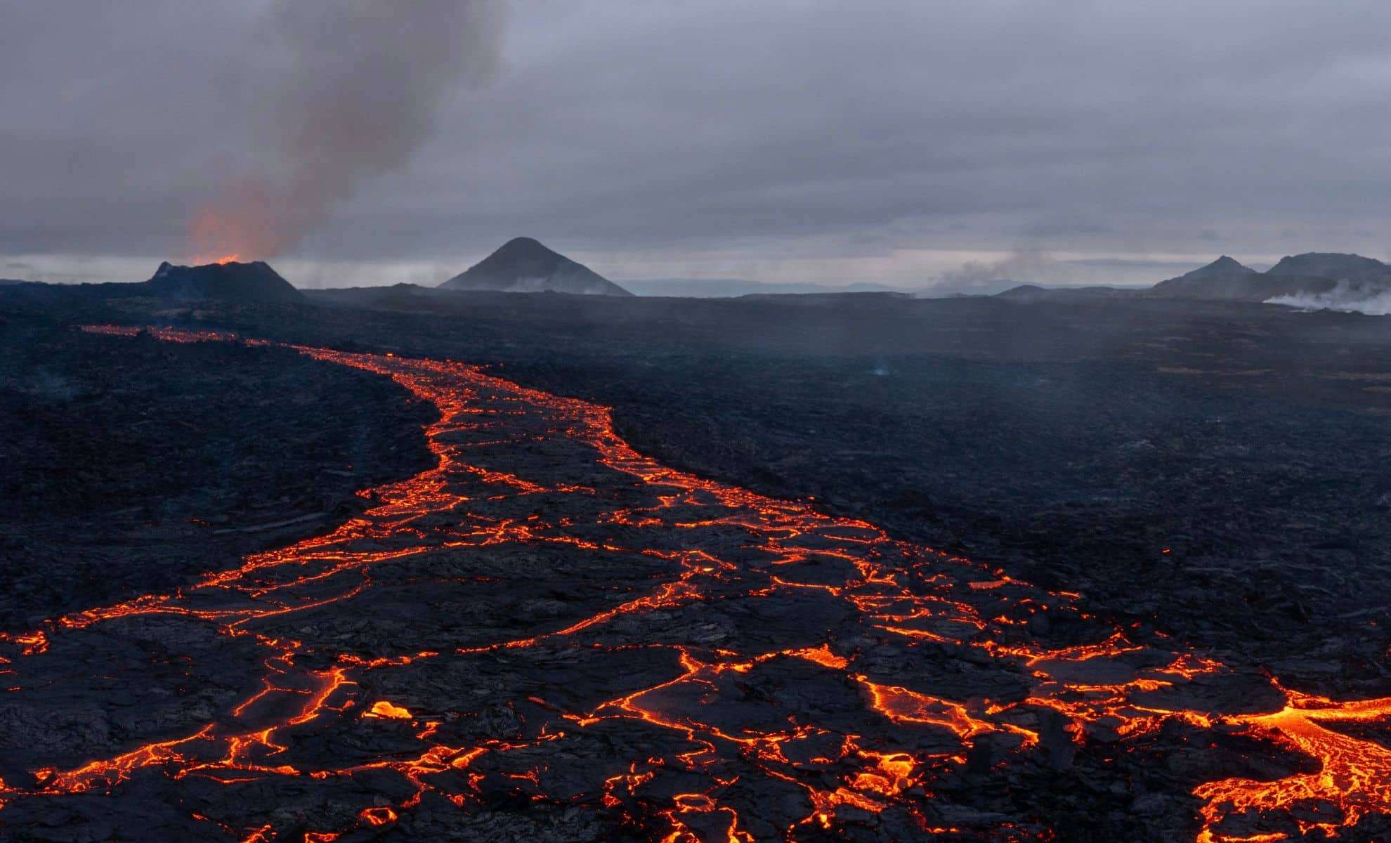
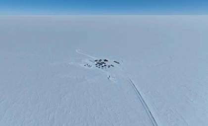
Iceland is prominent for its regular volcanic activity; however, these eruptions represent only a fraction of a much larger and ancient volcanic phenomenon that began roughly 60 million years ago. During this period, the Iceland Plume penetrated the Earth’s crust, instigating one of the planet’s largest volcanic episodes, categorized as a "Large Igneous Province."

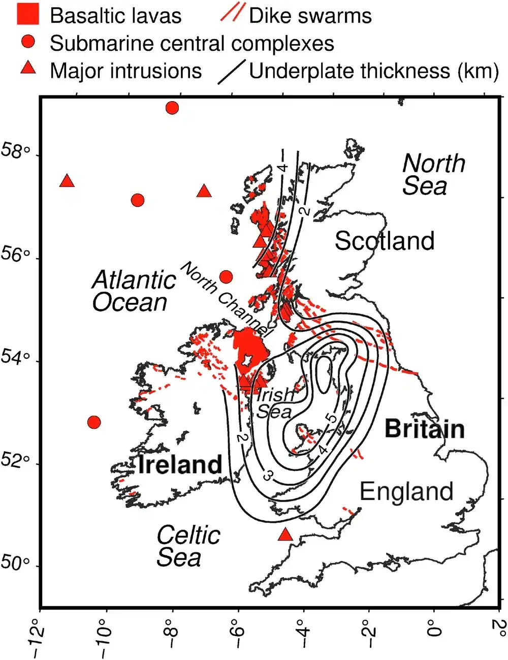
This massive eruption generated expansive lava flows spanning almost one million square kilometers, forming features such as volcanic islands, extensive lava plateaus, and iconic basalt formations like Northern Ireland’s Giant’s Causeway. Notably, the volcanic activity was not confined to Iceland alone.
Volcanoes emerged throughout the North Atlantic zone, including Scotland’s Inner Hebrides, Ireland’s Antrim Coast, and even Greenland’s shoreline. This extensive distribution raised a critical question: how could a single mantle plume produce volcanic features separated by such vast distances?
Could Thinned Lithosphere Facilitate Magma Migration?
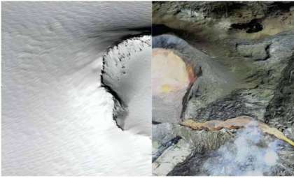
For many years, scientists hypothesized that lava from the plume might have moved laterally beneath Earth’s tectonic plates, fueling eruptions at distant locations. However, tangible evidence to support this theory remained elusive until now. The European Space Agency’s (ESA) innovative 4D Dynamic Earth initiative has shed new light on this theory.
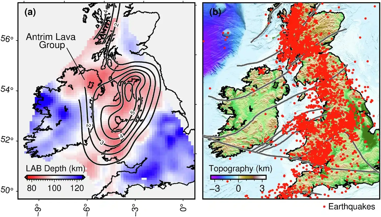
By merging gravity measurements from the GOCE satellite with seismic studies and geological analysis, researchers have produced extraordinarily detailed maps of Earth’s lithosphere. They uncovered striking patterns of exceptionally thin lithosphere aligning perfectly with volcanic sites dispersed across the North Atlantic.
Sergei Lebedev of the University of Cambridge stated, “This clear alignment indicates that rising hot material from the Iceland Plume weakened the lithosphere.” These thinner crustal areas allowed the plume’s thermal energy to breach the Earth’s surface more readily, fueling volcanic eruptions in these structurally weaker regions.
Ongoing Influence of the Iceland Plume
The investigation also clarifies why minor earthquakes frequently occur in Britain and Ireland despite their distance from active tectonic boundaries. These seismic events predominantly happen where the lithosphere is thinnest, bearing the lasting imprint of the ancient Iceland Plume. This insight demonstrates that the plume’s impact extends beyond geology into current seismic phenomena.
Additionally, the research offers perspective on the broader environmental effects of such immense volcanic episodes. Large igneous provinces generated by mantle plumes release vast quantities of gases like carbon dioxide, which may have induced prolonged climate warming and contributed to mass extinction events. Meanwhile, emitted sulfur aerosols from eruptions might have led to transient volcanic winters.
- Categories:
- News


0 comments
Sign in to Comment