
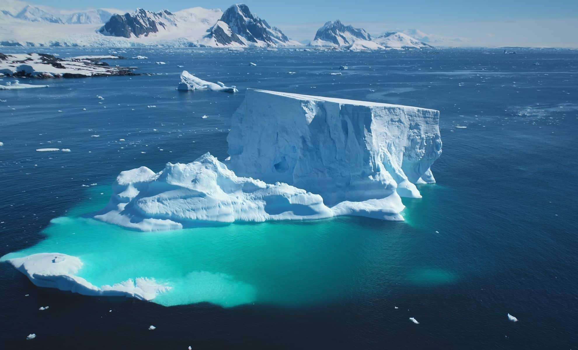
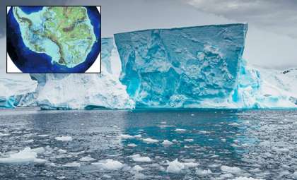
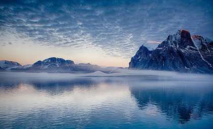
While Antarctica is often seen as a vast, icy wilderness, beneath its thick ice lies an intricate and dramatic landscape filled with mountain ranges, deep valleys, and active volcanoes. An international consortium, led by the British Antarctic Survey (BAS), has unveiled the most detailed subglacial map to date. This innovative map, named Bedmap3, exposes the continent’s “bare” rocky surface concealed beneath miles of ice.
Decades of Research Culminate in a Landmark Mapping Project
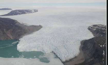
Unlike the Arctic’s primarily sea ice cover, Antarctica rests atop a substantial continental landmass hidden by an ice sheet averaging nearly 2,148 meters (7,047 feet) thick. Scientists have long strived to unravel the details of the terrain beneath this ice, hindered by both technological limits and harsh conditions. Bedmap3 represents the culmination of a global initiative compiling in excess of 82 million data points collected over sixty years.
This comprehensive map derives from an array of imaging methods, including radar surveys, gravity data, and seismic analyses. Information was gathered through satellites, vessels, aircraft, and even dog sleds, resulting in an unprecedentedly detailed portrayal of the sub-ice geology. With a resolution of 500 meters (1,640 feet), Bedmap3 uncovers geological features far more distinct than previous mappings.

Uncovering the Sub-Ice Geography: Peaks, Valleys, and Volcanoes
The new map distinctly reveals steep ridges, deep fissures, and expansive mountain ranges beneath Antarctica’s thick ice cover. Bedmap3 includes more than twice the data points of earlier versions, offering far greater detail.
Notably, the project extends into East Antarctica, an area historically difficult to study due to its remoteness and extreme environment. Previously largely uncharted, this region’s terrain can now be examined with much greater accuracy thanks to Bedmap3’s breakthroughs.
Improving Climate Predictions with Enhanced Topography
Beyond mapping, Bedmap3 holds critical importance for climate science. Dr. Hamish Pritchard, a glaciologist from BAS and the study’s lead author, highlights that this dataset is essential for forecasting how Antarctic ice will react to rising global temperatures. “This foundational data supports the computer models that predict ice flow dynamics as the planet warms,” Pritchard states.
He compares the process to syrup poured over a textured cake: the underlying ridges affect how syrup moves and pools. Similarly, subsurface rock formations influence the speed and pathways of ice movement, with ridges impeding flow and smoother depressions allowing accelerated melting.
Opening a Window into One of Earth’s Final Mysteries
Bedmap3 transforms Antarctica from a featureless ice sheet into a clearly defined, rugged landform with geological diversity that directly influences global environmental systems. This landmark map is more than a technological feat; it is crucial for understanding the future of this vast polar region amid climate change.
The project underscores the power of global cooperation and modern technology to reveal astonishing new information, even in the planet’s harshest and most isolated areas, opening fresh pathways for research and discovery beneath the Antarctic ice.
- Categories:
- News


0 comments
Sign in to Comment