
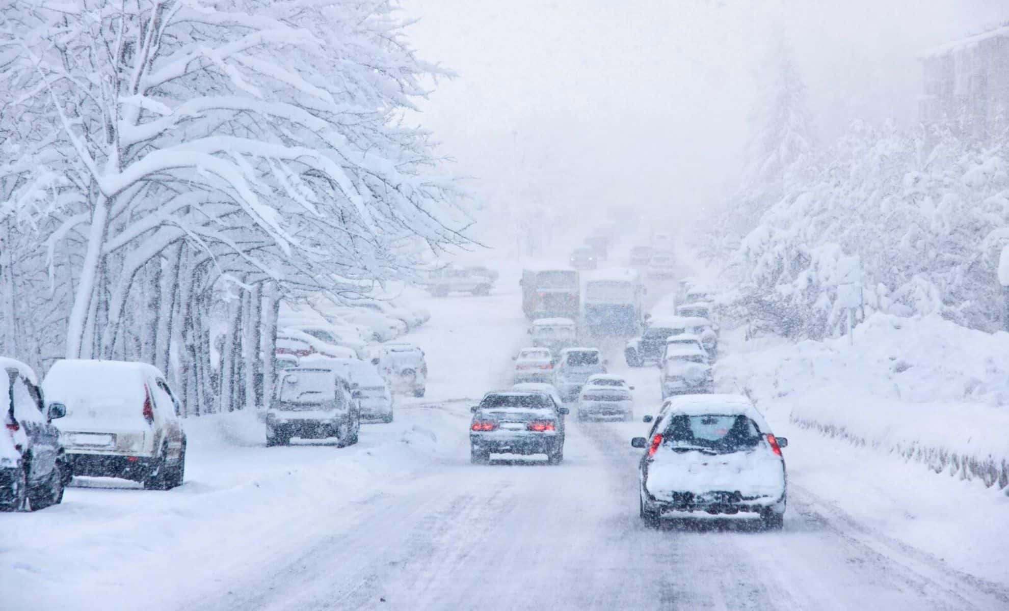
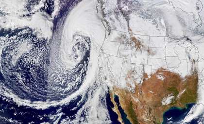
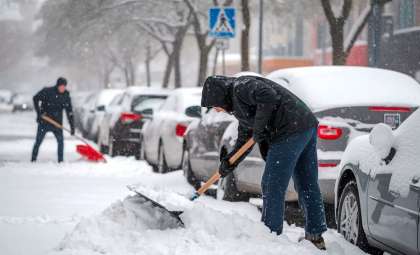
Travelers across the United States should brace for challenging conditions this Thanksgiving week as a series of winter storms extend from the Sierra Nevada mountains to the Northeast states. Holiday plans could face significant setbacks due to snow, rain, and hazardous icy surfaces amid one of the most heavily traveled times of the year.
Snowfall Threats Span from Sierra Nevada to Great Lakes
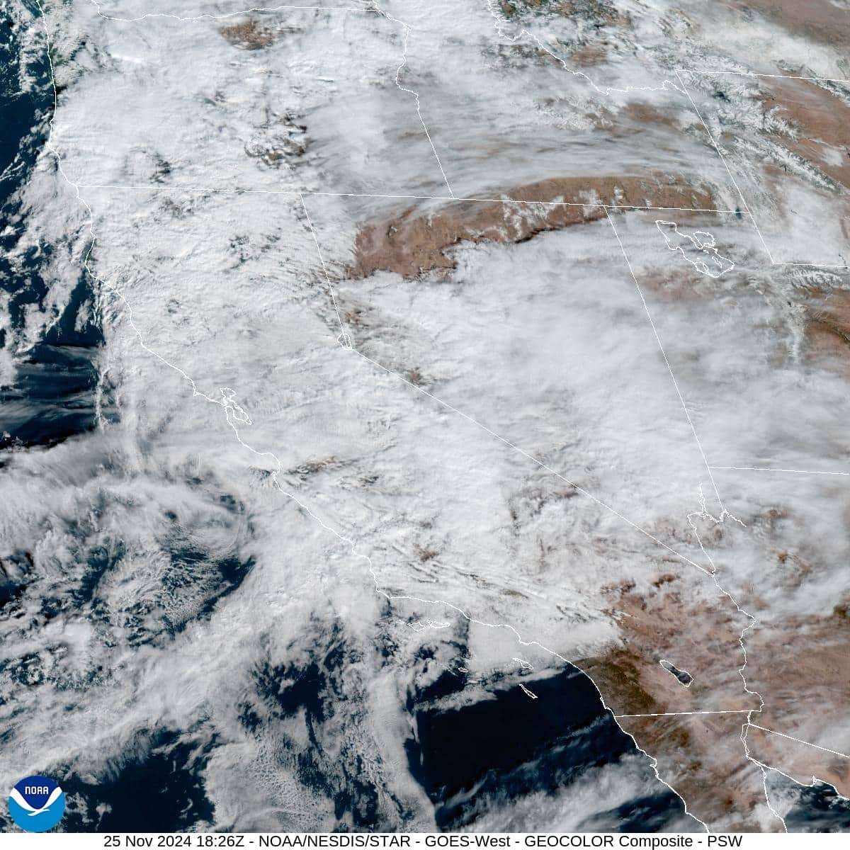
In the Sierra Nevada range, forecasts indicate up to three feet of snow accumulation through midweek, raising travel hazards for motorists in California and Nevada. Further east, the Midwest is also preparing for a significant snow event, impacting Minnesota, Wisconsin, and Michigan with snowy and slippery conditions starting early this week.
Snowfall estimates include:

- Sierra Nevada: Up to 3 feet (0.91 meters) at higher altitudes.
- Midwest (Minnesota, Wisconsin, Michigan): Heavy snowfall combined with icy roads.
Complex Weather Situation in the Northeast: Snowfall and Rainfall Mixed
Northern New England areas like Maine, New Hampshire, and Vermont may experience their first substantial snowfall this season beginning Tuesday. A secondary storm from Thursday night into Friday complicates forecasts, possibly delivering snow accumulation over elevated zones in northern New Hampshire, northern Maine, and the Adirondacks.
The I-95 corridor, including major metropolitan areas such as Boston and New York City, will likely encounter predominantly rainy conditions, as warmer temperatures limit the potential for significant snow.
Critical regions to monitor:
- Massachusetts Turnpike: Rain dominates, though some localized freezing could create icy spots.
- Route 2 Corridor and Western Massachusetts: A blend of snow and freezing rain with minor accumulation possible.
Record Holiday Travel Faces Added Strain From Weather
With nearly 80 million Americans expected to travel for Thanksgiving, more than 71 million are anticipated to travel by car. Domestic air travel has rebounded to pre-pandemic counts, climbing 11% compared to 2019 figures, contributing to crowded roadways and airports.
Key travel periods to watch:
- Tuesday and Wednesday afternoons: Severe traffic congestion predicted, intensified by wet and icy roadway conditions in some areas.
- Sunday post-1 p.m.: Heavy flow of return travelers, with delays likely; advance planning is recommended.
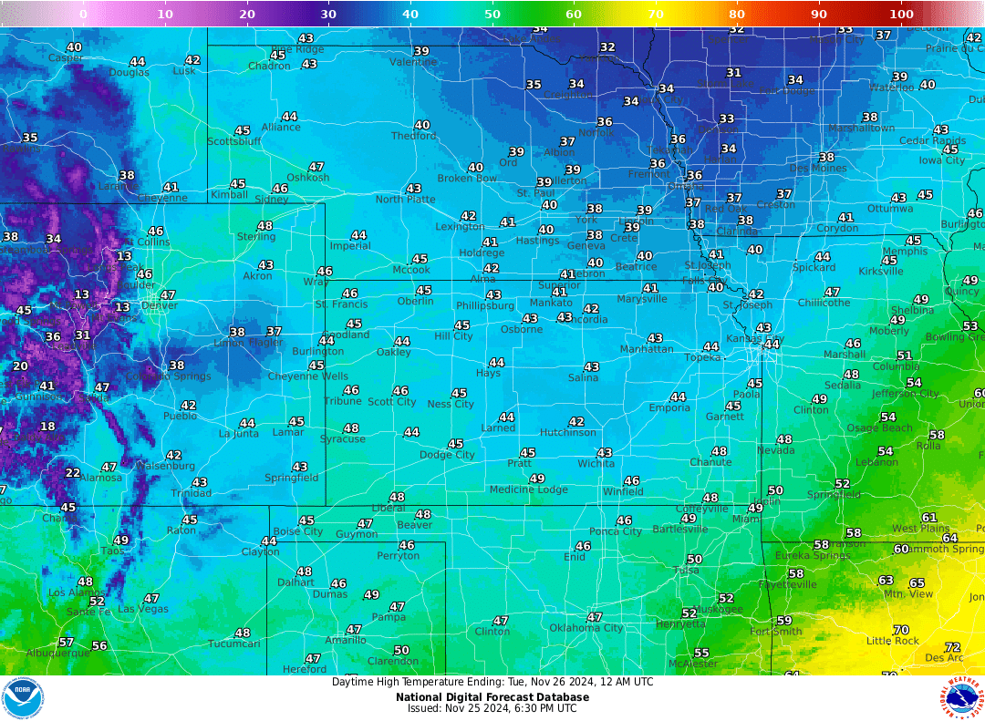
Chilly Blast to Close the Holiday Weekend
Following the departure of Thanksgiving storm systems, a cold front will move through the Midwest and Northeast, dropping temperatures to winter-like levels. Cities including Chicago, Pittsburgh, and Boston may experience daytime highs lingering in the 20s°F, creating a brisk conclusion to the holiday period.
Whether navigating deep snow in mountainous regions, persistent rain along commuting routes, or treacherous icy patches, this Thanksgiving season is shaping up to be heavily influenced by winter weather. Travelers should prepare accordingly, exercise patience, and embrace the experience.
- Categories:
- News ,
- Climate change


0 comments
Sign in to Comment