
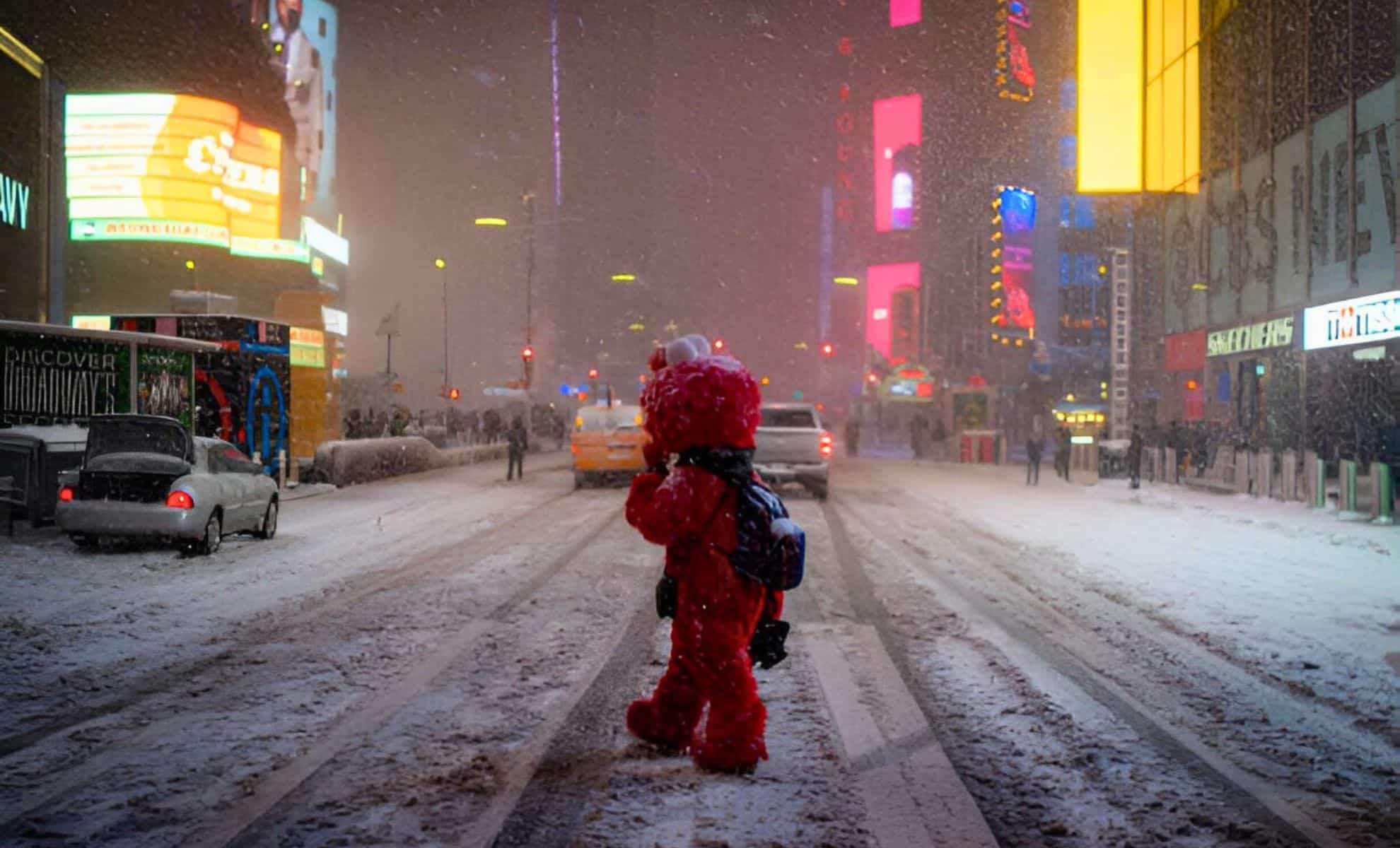
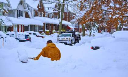
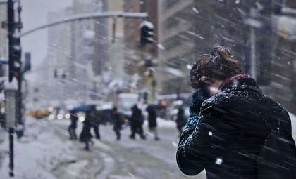
Winter conditions remain a major concern throughout the United States, with a combination of snowfall, strong winds, and flooding creating travel complications and other hazards. Here's a closer look at the expected conditions in key regions leading up to the New Year.
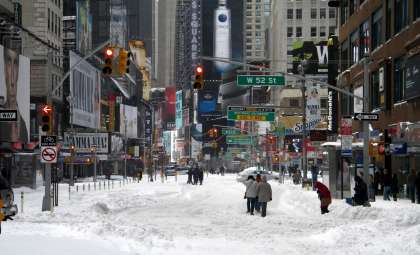
New York: Significant Snowfall and Coastal Flood Alerts
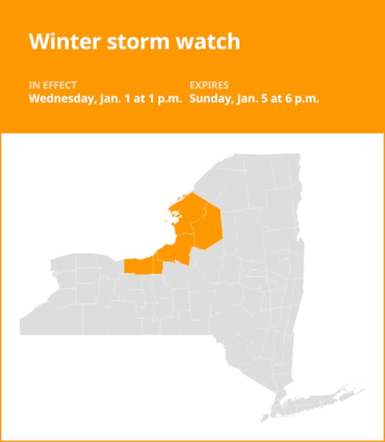
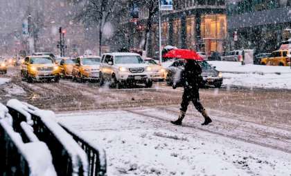
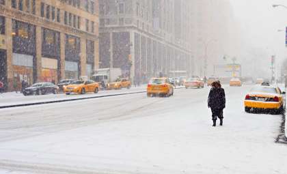
The National Weather Service has announced a Winter Storm Watch for western and northern parts of New York. Snowfall totals are forecasted to surpass 7 inches (17.78 cm) in counties like Wayne, Oswego, and Jefferson. The Tug Hill Plateau and the regions just southeast of Lake Ontario will likely experience the heaviest snow.
- Duration: From Wednesday afternoon through Sunday evening.
- Snowfall Amounts: Expect over 7 inches, especially in Tug Hill and southeast Lake Ontario.
- Strong Winds: Gusts up to 60 mph (96.56 km/h) along the Lake Erie coast could bring power outages and falling tree risks.
- Coastal Flooding: Alerts are active near Lake Erie due to rising water levels and powerful wave action.
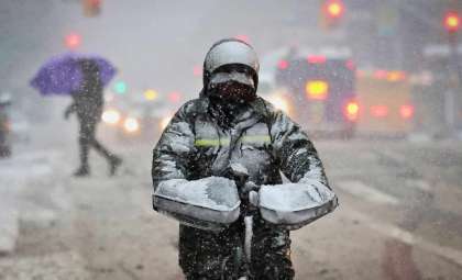
Anticipated Effects
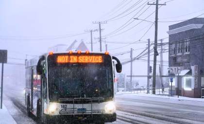
- Quickly shifting road conditions with limited visibility.
- Travel hazards on crucial roads like Route 5, with possible flooding.
- Infrastructure risks from strong winds and shoreline erosion.
As New York contends with heavy snowfall, other areas of the country are facing advisories for high winds, floods, and snow, highlighting diverse weather disturbances through the holiday period. Residents and visitors should remain vigilant and plan accordingly.

Colorado: Mountain Snow Sparks Travel Warnings
Winter advisories are in effect for northern and central Colorado's mountainous zones, where snow and icy surfaces are complicating travel across mountain passes and highways including I-70.
Weather Outlook
- Monday: Snowfall with blowing snow, highs near 37°F and gusts reaching 25 mph (40.23 km/h).
- Tuesday: Clearer but frigid with icy road conditions as temperatures dip into the teens overnight.
- Thursday: A new storm will bring fresh snow to higher elevations.
Motorists should anticipate possible closures and delays. It's advised to carry emergency supplies and avoid non-essential travel in affected areas.
Oregon: Snowfall in Mountains, Rain Along Coast
Oregon residents should be ready for varying weather, from substantial snow in the Cascade Range to rain and patches of ice near Pendleton.
Area-Specific Conditions
- Cascades: Snow level falling to about 2,500 feet (0.76 km), with accumulations over an inch (2.54 cm), creating slick conditions on mountain roads like Interstate 84.
- Pendleton: Rain coupled with fog through New Year's Day, temperatures rising into the upper 30s, and icy road patches resulting in travel concerns.
Upcoming New Year’s Eve Conditions
- New York: Rain expected Tuesday night before clearing for New Year’s Eve, with temps near 52°F and breezy winds.
- Colorado: Mostly clear Wednesday, though colder air and snow may develop Thursday morning.
- Oregon: Rain and snow mix likely in higher terrain through the holiday, with drier weather anticipated by Friday.
Essential Safety Recommendations
- Stay updated: Keep checking local forecasts for the latest changes.
- Vehicle readiness: Equip cars with chains, carry emergency gear, and ensure enough fuel for detours.
- Travel caution: Steer clear of non-critical journeys in heavy snow, strong wind, or icy conditions.
Remain cautious as severe weather events develop. Whether traveling or remaining home for the holidays, staying aware of forecast updates will aid in starting the New Year safely.
- Categories:
- News


0 comments
Sign in to Comment