
An unusual and sudden disturbance in the Arctic polar vortex is set to influence springtime temperatures over Europe and sections of the United States. Researchers are tracking this phenomenon carefully as the vortex has not only reversed its typical wind direction but also drifted away from the North Pole, settling over northern Europe. This shift could lead to colder-than-average weather in upcoming weeks.
An Exceptional Stratospheric Disruption
On March 9, a significant sudden stratospheric warming (SSW) event transformed the Arctic vortex’s usual behavior. Such events are marked by a quick temperature rise in the stratosphere above the polar region, often weakening or reversing the stratospheric jet stream.
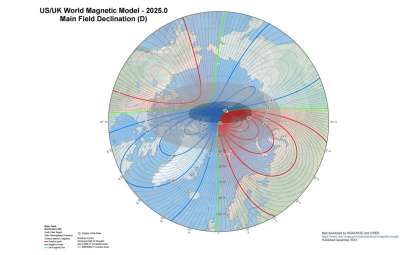
In this instance, the warming was strong enough to cause a complete reversal of the vortex’s wind patterns, changing from the normal west-to-east flow to an atypical east-to-west rotation. This disturbance also displaced the vortex’s center, positioning it above northern Europe.

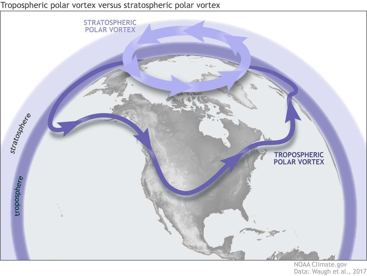
Typically, the polar vortex is a massive circulation of frigid air that develops over the Arctic during winter. It intensifies when sunlight is scarce, cooling the stratosphere far below tropical levels. The Earth’s rotation then directs the airflow into a robust west-to-east current encircling the pole.
Normally, as daylight returns in spring, the balance shifts: the tropical stratosphere cools and the Arctic warms, gradually weakening and reversing the vortex’s circulation. This year, however, this change happened suddenly and well before the usual time.
Amplification of Sudden Stratospheric Warming
This shift was triggered by planetary-scale Rossby waves—large atmospheric waves rising from the lower atmosphere into the stratosphere, sparking intense warming over the polar region.
Sometimes these waves heat the polar stratosphere enough to exceed tropical temperatures. When this happens late in the season after polar night ends, the stratosphere might stay warm in a state called the final warming, potentially continuing into autumn.
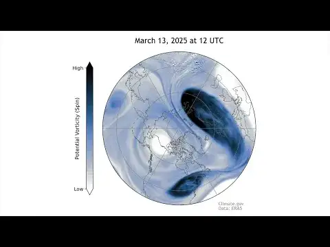
Data from the National Oceanic and Atmospheric Administration (NOAA) shows the vortex has struggled to reclaim its position above the pole. Following its early March breakdown, winds at 60°N have twice attempted to restore the typical westward flow but failed. Renewed warming events pushed the winds eastward, reinforcing the collapse.
Last year, a similar pattern started in early March, yet the vortex temporarily recovered, with the final warming occurring on April 28. This year, NOAA indicates the vortex likely has collapsed permanently, making it the second-earliest final warming on record since 1958.
Forecasts Point to Colder Weather for Europe and Adjacent Regions
The vortex’s collapse is expected to shape surface weather through stratosphere-troposphere coupling, where changes high in the atmosphere influence lower layers. This often causes increased pressure and temperature aloft that disrupt the jet stream, permitting chilly Arctic air to surge southward.
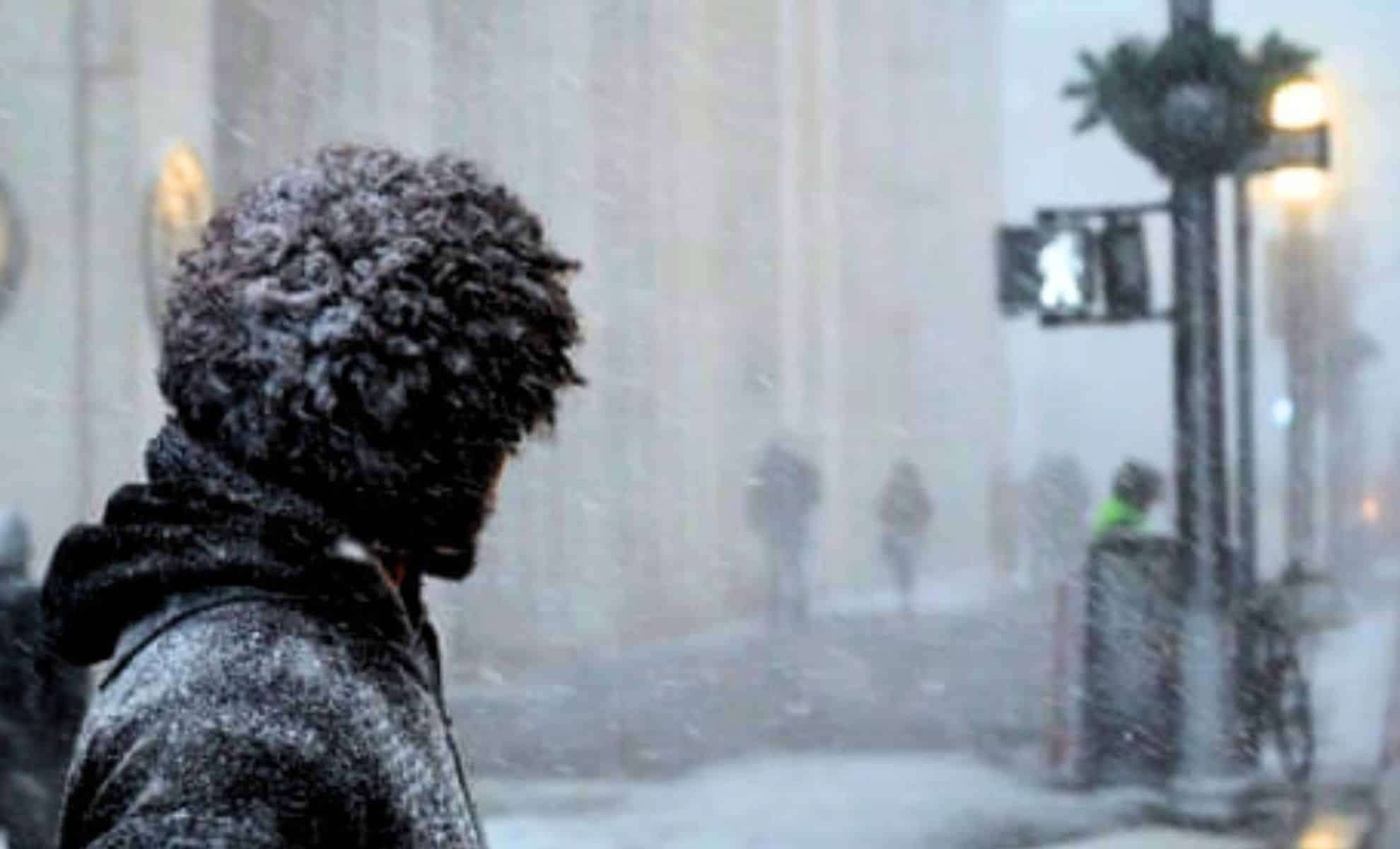
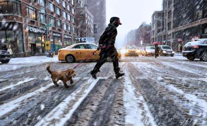
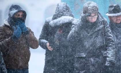
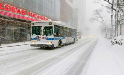
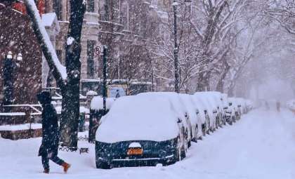
The NOAA cautions that this may lead to colder-than-normal temperatures across parts of northern Europe, Asia, and the eastern United States. While early March saw near-average weather in some areas, forecasts now indicate a greater likelihood of colder conditions approaching.
Already, unusual atmospheric thickness patterns extend from the stratosphere down to the troposphere, confirming a robust coupling episode. As fragments of the polar vortex drift over northern Europe, this influx of cold air may dominate the early spring weather far beyond standard expectations.
- Categories:
- News


0 comments
Sign in to Comment