
On December 13, 2024, a powerful Arctic cold front swept across the Eastern United States, unleashing harsh weather including intense lake-effect snowfall and freezing ice storms. The extreme conditions are forecast to cause widespread travel disruptions and impact daily routines, with dangerously low temperatures, heavy snow accumulations, and frost warnings active.
Lake-Effect Snow Pounds Buffalo Area
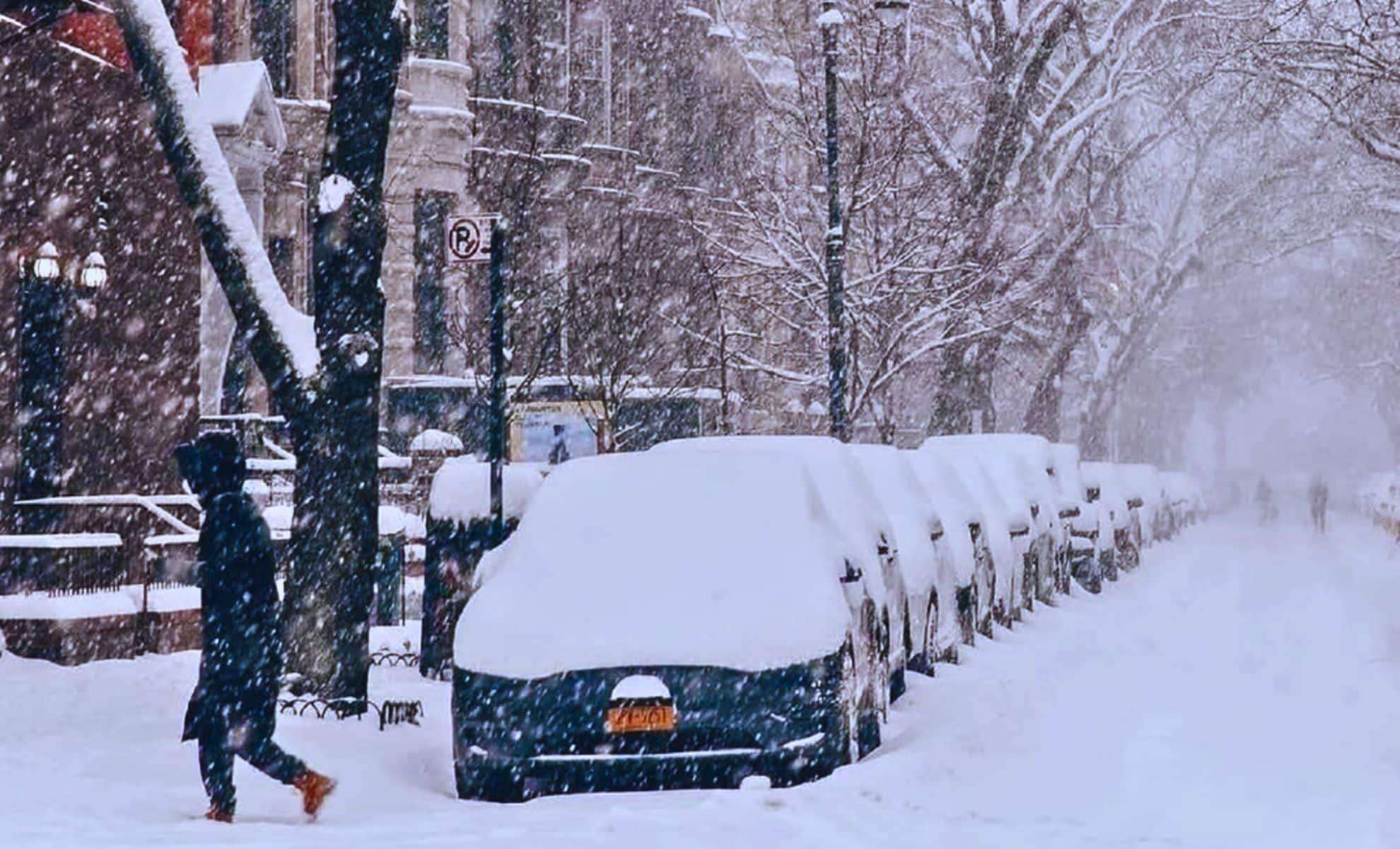
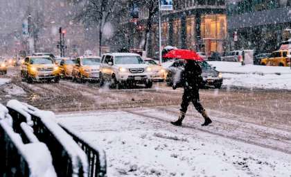
The New York city of Buffalo remains at the center of a significant lake-effect snow event, arising when cold air travels over relatively warm lake waters, leading to heavy snow localized in certain zones. Forecasters reported that locations east of Lake Ontario could receive as much as 30 cm (12 inches) more snow by the end of the day on December 13.
Lake effect snow continues this morning, especially east of Lake Ontario. Band off of Lake Ontario will remain strong today with 2 -3 in/hr snowfall rates within the band. This band will shift south today into Oswego county before weakening tonight. pic.twitter.com/7wbwHRgm9j
— NWS Buffalo (@NWSBUFFALO) December 13, 2024Add Cosmo Herald as a Preferred Source

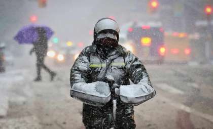
Orchard Park has been among the worst hit, with snowfall totals reaching 75 cm (30 inches), causing major issues for local transportation. Winds have surged past 60 km/h (37 mph), leading to near-zero visibility even for skilled drivers. This hazardous situation compelled officials in Buffalo to issue a state of emergency, with Mayor Byron Brown urging residents to stay indoors and refrain from non-essential travel.
- Snowfall amounts: Peak totals of 75 cm (30 inches) in affected areas like Orchard Park.
- Wind intensity: Speeds up to 60 km/h (37 mph), creating extremely poor visibility.
- Warnings active: Snow advisories extend across regions near Lake Ontario and Lake Erie.
- Public safety: State of emergency declared, encouraging residents to remain home and minimize travel.
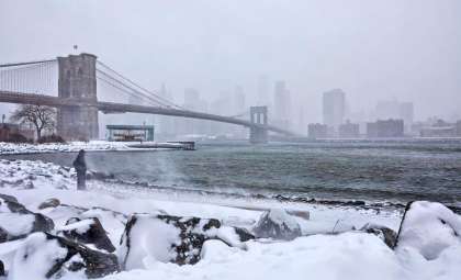
Snow advisories are currently in effect for communities near Lake Erie and Lake Ontario, with the worst conditions expected to linger throughout the day before easing later in the evening.
Severe Cold and Ice Storm Warnings Across the East
The Eastern U.S. is also facing a record-breaking polar cold snap extending from Minnesota down to Northern Florida. Cities like Minneapolis and Chicago are experiencing wind chill values plunging below -10°C (14°F). Des Moines, Iowa, reported temperatures near -12°C (10°F) with wind chills making it feel even colder.
Authorities in Minneapolis have warned of dangerous icy roads as the wind chill has dropped beneath -15°C (5°F). The regions of Iowa, Minnesota, and Nebraska are under ice storm alerts urging residents to remain indoors and avoid traveling due to hazardous conditions.
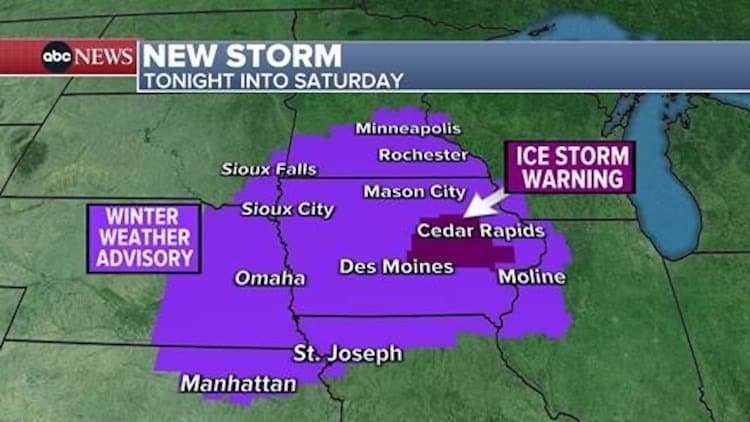
According to ABC News on December 13, “The cold fronts have dropped temperatures below zero in Minneapolis, near zero in Chicago, and into the teens below zero in the Northeast.” Frost warnings are also active in Georgia and Northern Florida as officials caution about freezing overnight temperatures.
Forecasters have highlighted the danger of ice buildup with up to 1.5 cm (0.6 inches) of ice accumulation predicted on road surfaces, increasing the risk of accidents. Residents are urged to avoid traveling, especially starting Friday evening, while conditions are expected to improve by Saturday morning.
West Coast Gears Up for Incoming Winter Storms
The U.S. West Coast is preparing for a succession of winter storms forecasted to bring significant impacts. The Sierra Nevada Mountains in California have already seen heavy snow, with a recent storm dumping up to 15 cm (6 inches) on Interstate 80, causing numerous crashes and severe traffic delays.
An even more powerful storm is forecast to hit regions from Washington down to California, with winter storm alerts predicting as much as 120 cm (48 inches) of snow in mountain areas. Coastal California is expected to receive up to 12 cm (5 inches) of rainfall, heightening concerns over potential flash flooding.
Flood warnings are currently in effect for parts of Northern California. Heavy rains combined with strong winds, particularly near San Francisco and Sacramento, could create dangerous conditions for residents and drivers. The hazardous weather is expected to last through the region up to Washington state.
- Categories:
- News ,
- Climate change


0 comments
Sign in to Comment