
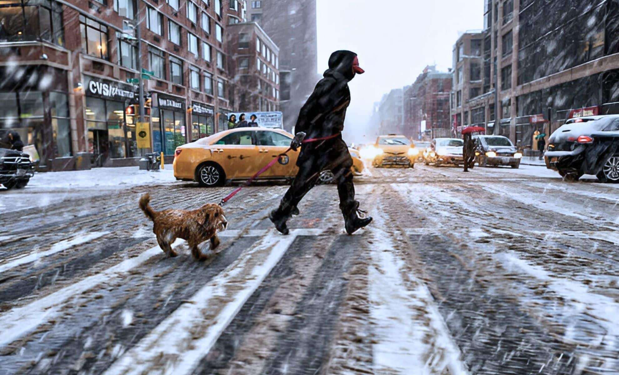
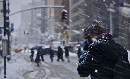
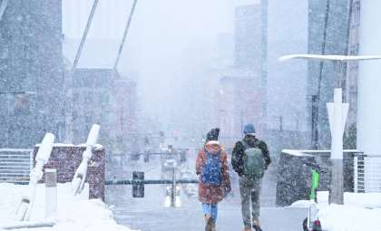
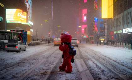
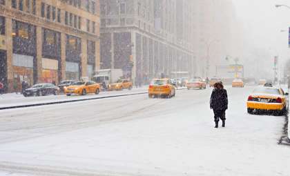
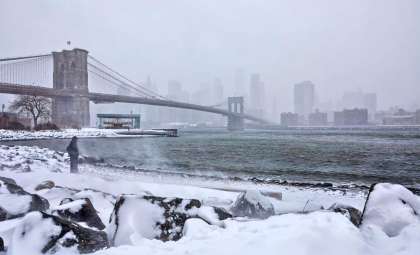
As 2025 begins, New York faces a significant weather challenge with an intense winter storm coupled with an unprecedented arctic cold front. Experts urge residents to brace for heavy snowfall, biting cold, and possible interruptions to daily life.
Winter Storm Alert for Northern New York Counties
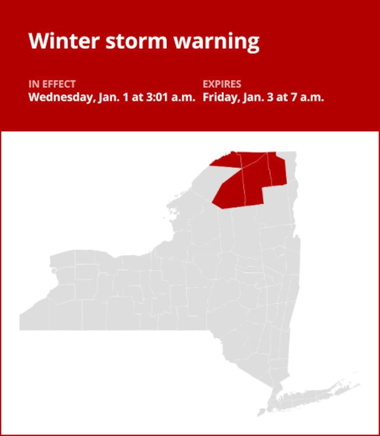
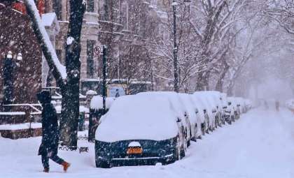
The National Weather Service has announced a winter storm warning covering St. Lawrence, Franklin, and Clinton counties, lasting until 7:00 AM Friday. Snowfall is projected to range from 6 to 14 inches (35.56 cm) alongside wind gusts reaching 45 mph (72.42 km/h).
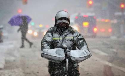
Such conditions may cause occasional power loss, drifting snow, and severely limited visibility, complicating travel. Elevated regions may experience even heavier snow, with mountain roads becoming particularly hazardous. Officials recommend minimizing travel and keeping essentials like flashlights, warm attire, and non-perishable foods accessible.

Arctic Cold Brings Temperatures Not Seen in Over a Decade
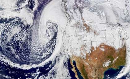
Alongside the heavy snow, a powerful arctic air mass is expected to bring the coldest temperatures New York has encountered since 2011. Paul Pastelok, AccuWeather’s leading long-range forecaster, notes temperatures could plummet 10 to 20 degrees below typical levels, with lows dipping into the teens and even single digits Fahrenheit.
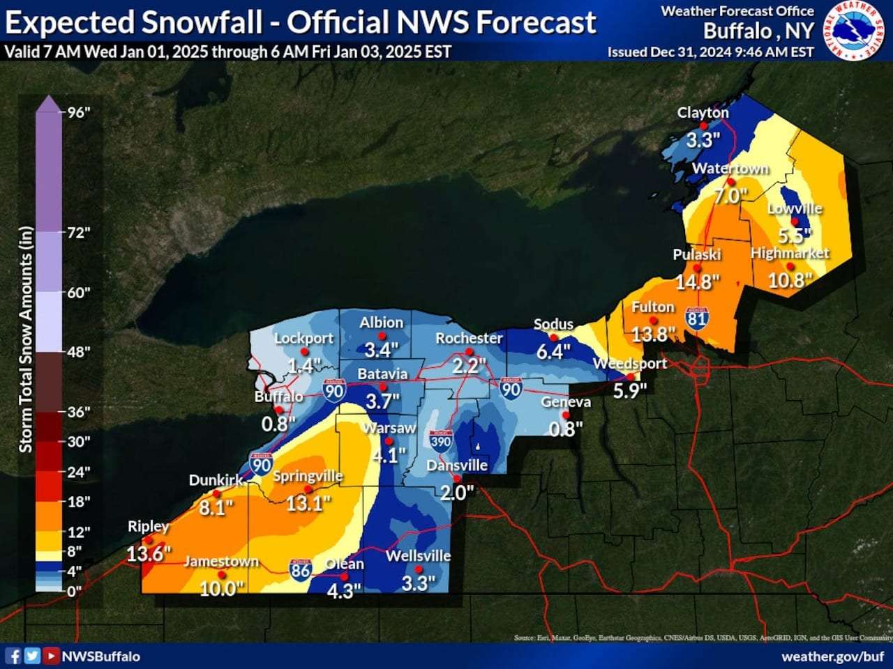
This cold outbreak stems from a disturbed polar vortex, allowing icy air to push southward. Regions around the Great Lakes may experience severe lake-effect snowfall, with some locales, such as Buffalo and Syracuse, seeing accumulations of multiple feet.
Safety Concerns and Infrastructure at Risk
These harsh weather conditions pose significant safety threats and the potential for widespread disruption. Experts liken this event to the February 2021 arctic freeze, which resulted in billions in losses and extensive outages. Dan DePodwin, senior forecasting director at AccuWeather, cautions that "temperatures this extreme can create hazardous and damaging consequences."
Authorities suggest the following precautions:
- Limit travel unless absolutely necessary, especially in areas forecasted to receive heavy snow and strong winds.
- Check current road conditions before journeys and use major highways where possible.
- Ensure vehicles are equipped with winter tires, emergency supplies, and have sufficient fuel.
Regions Facing the Greatest Impact
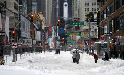
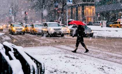
The Great Lakes region, including cities like Syracuse, Buffalo, and Lake Placid, is expected to bear the brunt of the snowfall, possibly leading to road closures. While New York City is outside the storm’s core path, it will still experience below-freezing temperatures and light snow as other systems move through.
Key Dates to Monitor
- Initial cold front: Temperatures begin to fall on January 3–4.
- Second wave of cold: A deeper freeze arrives around January 8–9.
- Strongest arctic surge: The coldest air mass is anticipated to reach even the Gulf Coast on January 11–12.
Staying updated with information from local agencies and the National Weather Service is crucial as this severe weather event unfolds. Make preparations to safeguard your home and vehicle against what could prove to be an extraordinary period of winter cold.
- Categories:
- News


0 comments
Sign in to Comment