
Following an unexpected and short-lived episode, La Niña has officially concluded, placing the climate system in a neutral state. The National Oceanic and Atmospheric Administration (NOAA) highlights that this transition creates notable unpredictability as we approach the spring and summer of 2025.
A Brief La Niña, Yet Lasting Influence
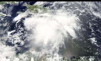
La Niña is a climatic phenomenon known for cooling the tropical Pacific Ocean. It emerged later than usual in 2024 and remained active for only a few months. Although atmospheric signs appeared in the fall of 2024, ocean temperatures only matched La Niña patterns near year-end. Its brief presence, however, still affects current climatic conditions.
Experts such as Michelle L’Heureux from NOAA’s Climate Prediction Center warn that traces of La Niña’s influence may linger, subtly impacting weather trends despite the event’s conclusion.

Neutral Conditions Lead to Greater Forecast Challenges
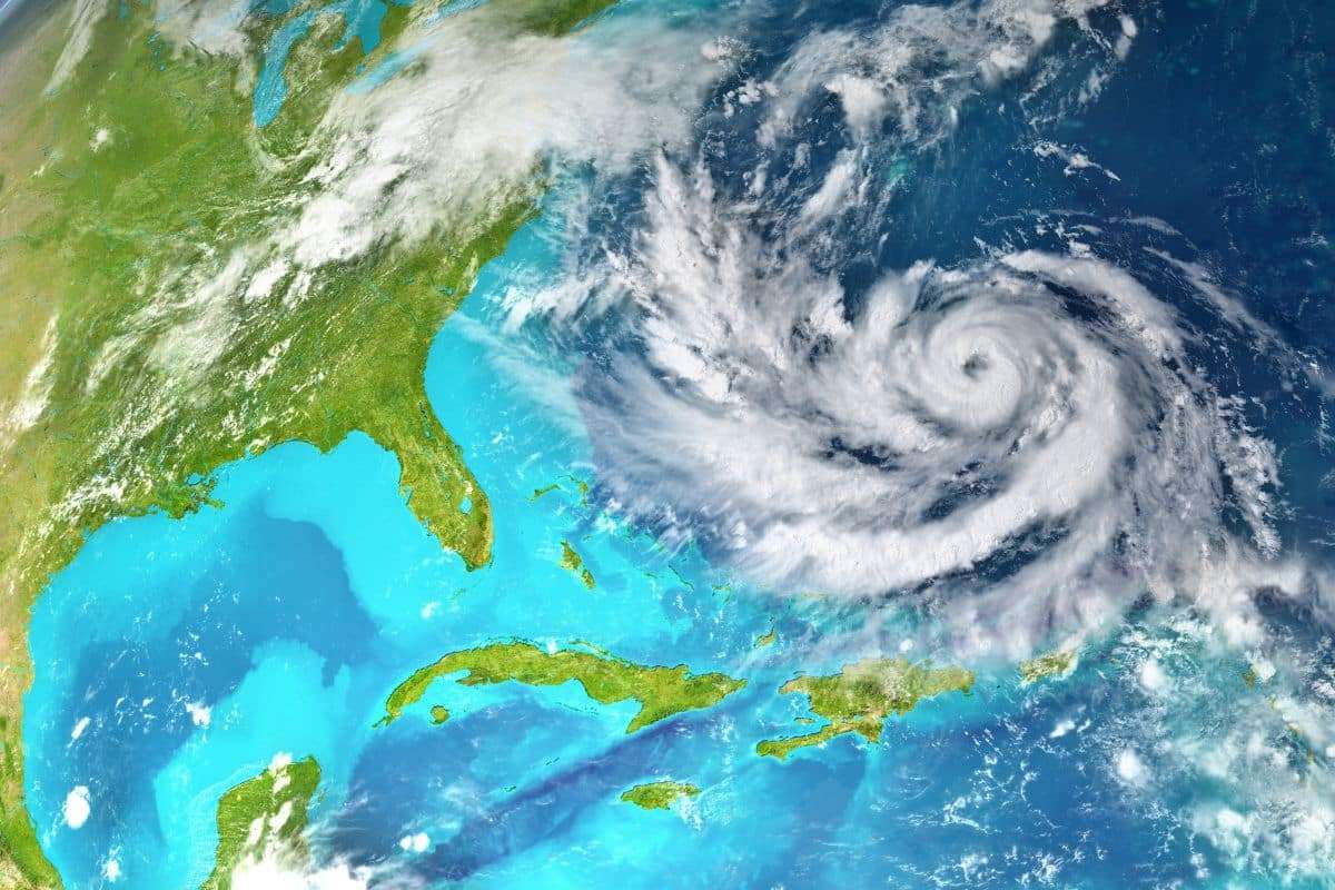
As of April, neither La Niña nor El Niño dominate the climate, placing the system in a so-called neutral phase. This phase is expected to continue at least into early fall. Without the clear guidance of these phenomena, predicting the upcoming Atlantic hurricane season—which starts in June and peaks from mid-August through mid-October—becomes more uncertain.
La Niña typically contributes to stronger, more frequent hurricanes, while El Niño suppresses such activity. In neutral years, the outcome is less predictable and currently heavily influenced by warming ocean temperatures.
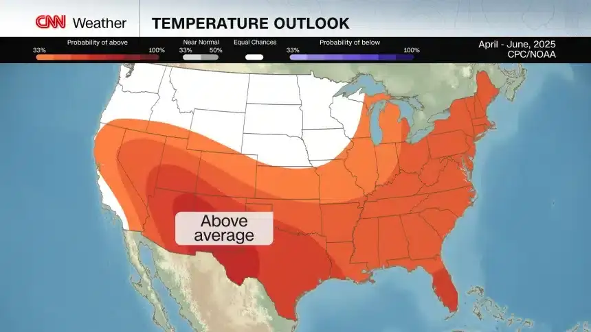
Above-average temperatures are projected across much of the U.S. through June.
Credit: CNN Weather
Warm Seas Could Amplify Storm Activity
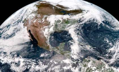
The majority of Earth’s excessive heat, a byproduct of fossil fuel pollution, is absorbed by the oceans. Record-breaking sea temperatures were recorded during 2023–2024. Although La Niña has diminished, these heat-rich waters remain, fostering conditions favorable for tropical storms.
The previous El Niño concluded just before an intense hurricane season that brought 18 named storms, 11 hurricanes, and 5 landfalls in the U.S.—including severe destruction caused by Helene and Milton. A comparable scenario in 2025 remains possible, as neutral conditions may not lessen activity, while warm oceans supply ample energy.
Heatwaves, Drought, and Reinforcing Cycles Across the U.S.
The neutral phase adds complexity to forecasting temperature and rainfall trends in the U.S. Current predictions by the Climate Prediction Center suggest most of the mainland U.S. will experience warmer-than-average conditions through June, potentially extending to the Lower 48 states by midsummer.
The Pacific Northwest and some northern regions might experience cooler or normal temperatures. This warming coincides with prevalent drought conditions and feedback loops where dry soils and rising temperatures intensify each other. These patterns recall the extreme summer heat of 2024, indicating a likelihood of intense heatwaves returning.
Entering an Unfamiliar Climate Landscape
In the absence of dominant La Niña or El Niño phases, global climate is venturing into largely unexplored territory. The combination of climbing global temperatures, elevated ocean heat content, and erratic precipitation patterns positions 2025 as a critical period for climate science and emergency response planning.
This shift may impact storm frequency, heatwaves, and wildfire dangers, along with agricultural yields and water availability. Without a prevailing climate driver, conditions will largely reflect the new normal shaped by human-induced warming.
- Categories:
- News


0 comments
Sign in to Comment