
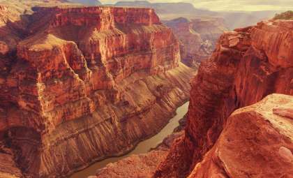
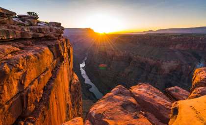
Deep within the Grand Canyon, a crucial spring provides water to millions of individuals along with a diverse range of plants and wildlife. Researchers have begun investigating the subterranean water movement to understand why this vital system might be more fragile than previously thought.
This study delves into the hidden networks beneath the canyon’s surface—complex cave systems and rock formations rarely witnessed by visitors. The discoveries reveal both remarkable features and unexpected vulnerabilities.
Although the Grand Canyon appears immovable and stable, an intricate underground water system remains constantly active. Slight shifts in climate or pollution can trigger swift and widespread consequences.

A Single Spring Bears Immense Importance
Roaring Springs, located on the North Rim of the Grand Canyon, serves as a vital water source. It sustains numerous aspects of canyon life, from hydration for hikers to supporting plants and animals. Research detailed in Scientific Reports highlights the spring’s extensive role within the park’s ecosystem.
Dependence on this single spring carries inherent risks—any disturbances like drought or pollution could have rapid cascading effects. As Blase LaSala explained:
“Understanding where the water sinks is critical for the infrastructure, the animals, the plants, and the rest of the ecosystems that rely on these springs,” he described them as “like oases.”
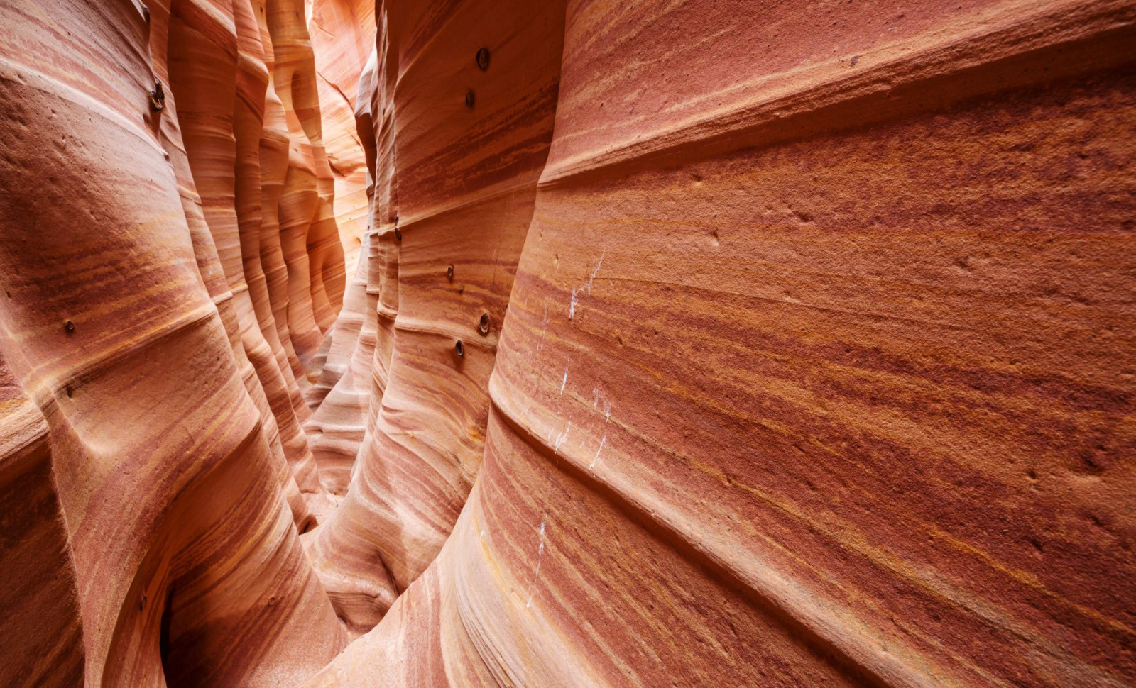
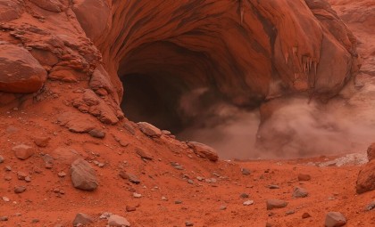
A Maze of Caves Like Swiss Cheese
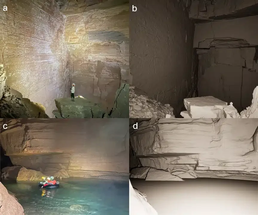
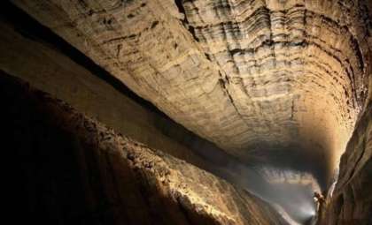
Northern Arizona University teams charted over 10 kilometers of subterranean caves employing lidar technology. This approach enabled the generation of intricate 3D models revealing previously unexplored underground voids and passages. The expedition lasted 45 days and involved maneuvering through narrow tunnels and submerged areas.
“I had no idea how large and long these caves are,”Professor Temuulen “Teki” Sankey said. “We have been able to produce really high-resolution 3D maps, which, from a remote sensing perspective, is what’s unique and novel about it. Grand Canyon’s caves have never been mapped in 3D like this.”
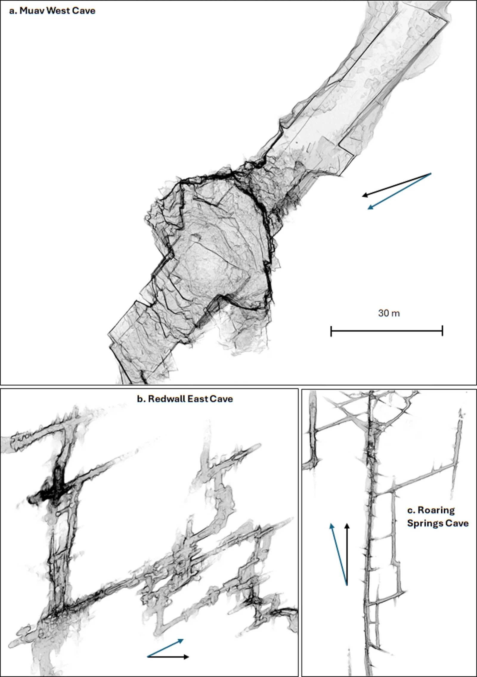
The research revealed a karst terrain likened to “Swiss cheese” due to its numerous voids and water channels. Groundwater travels through these formations more rapidly than anticipated. As described by Abe Springer, dye tracing experiments showed water moving approximately 20 kilometers within a week.
Such velocity poses serious concerns for contamination. Because pollutants like E. coli have limited opportunity for natural filtration, they can quickly reach the spring, potentially forcing water service interruptions until remediation occurs.
Hard-to-Forecast System of Snow, Rock, and Water
The majority of the Grand Canyon’s water originates as snowfall on the Kaibab Plateau. After melting, this water infiltrates the ground, embarking on a convoluted underground trek through rock layers until it emerges at springs. However, as Professor Sankey points out, correlating surface conditions with subterranean flow remains challenging.
“It’s like looking at a black box,” LaSala noted. “You see what comes in and what comes out, but it’s very hard to quantify what’s going on in there. Now that we know what patterns are there, we can really start to relate the data to spring change over time.”
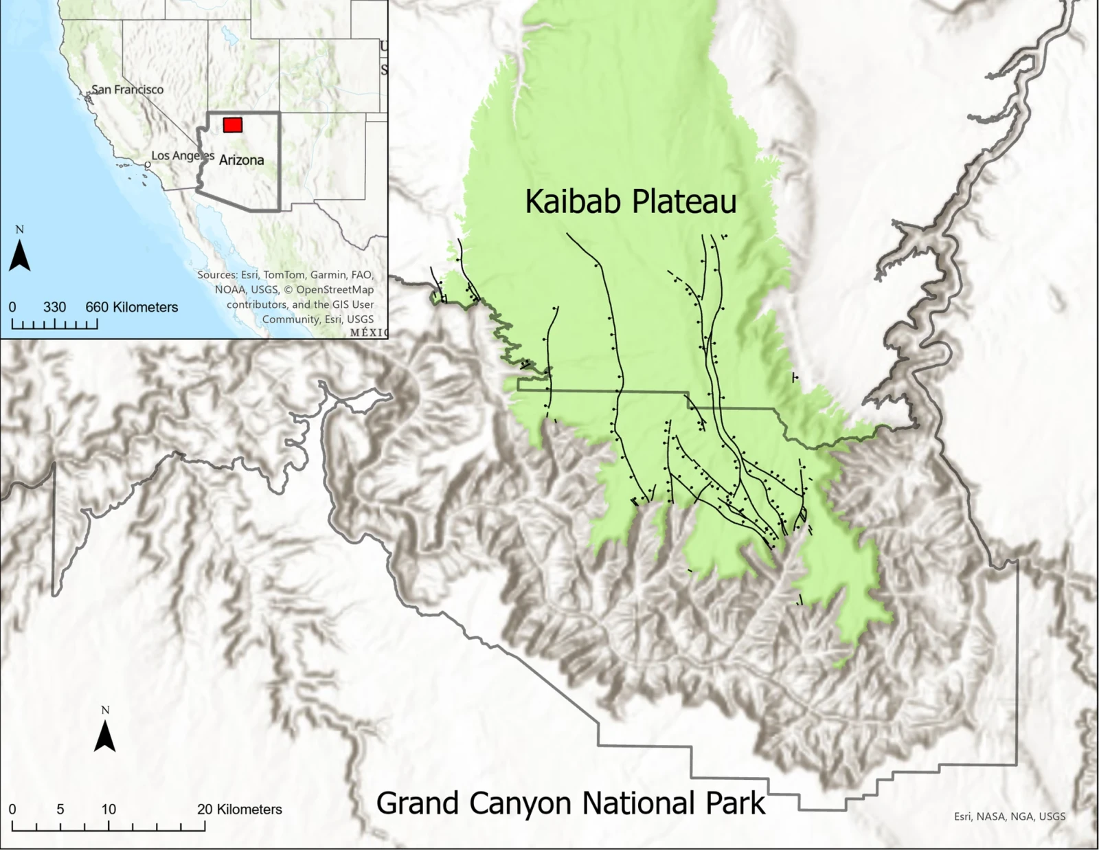
To gain better insights, experts utilize airborne lidar combined with satellite imagery spanning four decades to chart sinkholes and monitor long-term snowmelt patterns.
“It’s exciting to find patterns that verify the hypotheses made over 50 years ago,” added LaSala. “We have all this amazing data now, and we’re trying to combine it with other data to find useful things. There are so many places that could benefit from this type of analysis.”
Additionally, the impact of the Dragon Bravo Fire has altered landscapes integral to the water cycle. Scientists must consider these changes as they continue assessing how water flows and accumulates moving forward.
- Categories:
- News


0 comments
Sign in to Comment