
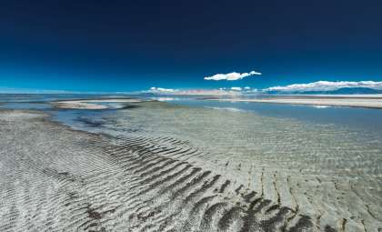
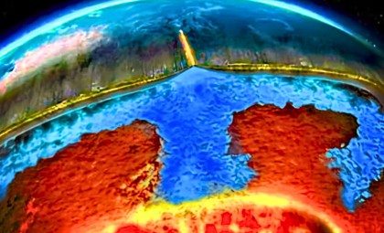
Researchers have unveiled a substantial freshwater aquifer lying beneath Utah’s Great Salt Lake, extending as deep as 2.5 miles (4 kilometers). Preliminary findings indicate this underground water source may rival the lake's surface area. This breakthrough comes amid ongoing concerns as the lake diminishes, leaving exposed land prone to harmful dust emissions.
Contrary to prior expectations of solely saline conditions beneath the lake, scientists have now confirmed fresh water’s presence. For years, coastal vegetation anomalies hinted at subterranean activity. The new study clarifies these signals and maps the freshwater reservoir under the lakebed.
Helicopter Electromagnetic Survey Unveils Subsurface Composition
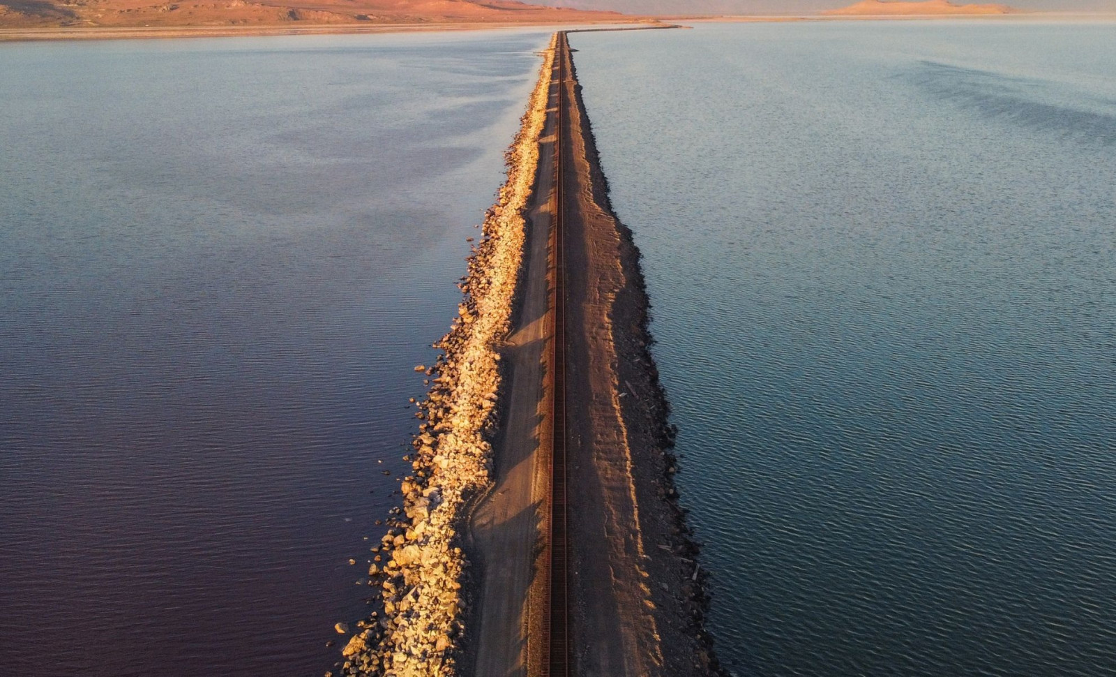
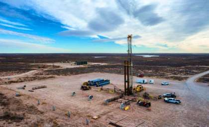
To pinpoint the source of this freshwater, a team led by Michael Zhdanov from the University of Utah performed an airborne electromagnetic survey across roughly 10 square miles (25 square kilometers) of the lake. Documented in a report published in Scientific Reports, the helicopter flew repeated transects sending electromagnetic pulses underground and recording the signals reflected back.

The principle was straightforward: freshwater and saltwater differ in electrical conductivity. Despite the lake's saline environment, this method successfully detected a continuous freshwater layer starting at about 330 feet (100 meters) and stretching down to 2.5 miles (4 kilometers).
“When I first realized that we found this, I was very excited.” said Zhdanov. “We were able to answer the question of how deep is this potential reservoir, and what is its spatial extent beneath the eastern lake margin. If you know how deep, you know how wide, you know the porous space, you can calculate the potential freshwater volume.”
Ancient Water Trapped Below by Geological Barriers
This freshwater accumulation has formed over millennia, likely fed by snowmelt from nearby mountain ranges gradually infiltrating the ground. Geological formations, including impermeable rock layers, confine this freshwater beneath the salty lake water.
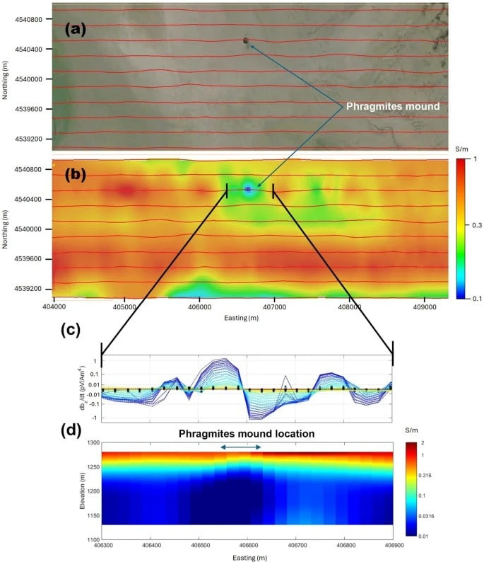
The study also highlights fault lines within the bedrock that may explain variations in reservoir depth in different locations.
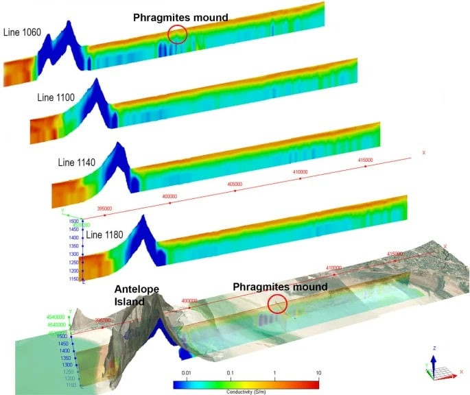
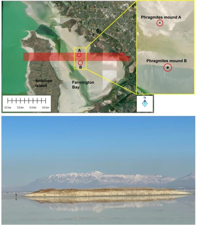
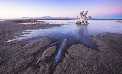
In certain areas, this underground water rises closer to the surface, coinciding with clusters of dense phragmites reeds—one of the earliest indicators of freshwater presence.
A Potential Solution to Environmental Challenges
The timing of this discovery is crucial as the Great Salt Lake has receded by about 22 feet (6.7 meters) since 1986 due to drought, water diversion, and climate factors. The exposed lakebed releases toxic dust harmful to communities such as Salt Lake City.
Scientists suggest that if the freshwater reservoir extends further, it may help stabilize some dry areas, reducing dust emissions. There is also potential for using this water resource for irrigation, though this remains to be assessed.
“There are beneficial effects of this groundwater that we need to understand before we go extracting more of it. A first-order objective is to understand whether we could use this freshwater to wet dust hotspots and douse them in a meaningful way without perturbing the freshwater system too much,” explained Bill Johnson, a hydrologist involved in the groundwater study.
The current findings stem from a restricted survey zone, and further investigation is needed to map the reservoir's full extent.
“This is why we need to survey the entire Great Salt Lake. Then we’ll know the top and the bottom,” Zhdanov noted. “To study the top we use airborne electromagnetic methods, which gives us the thickness of the saline layer and where the freshwater starts under the saline layer. To study the bottom, we use magnetic data.”
- Categories:
- Science


0 comments
Sign in to Comment