
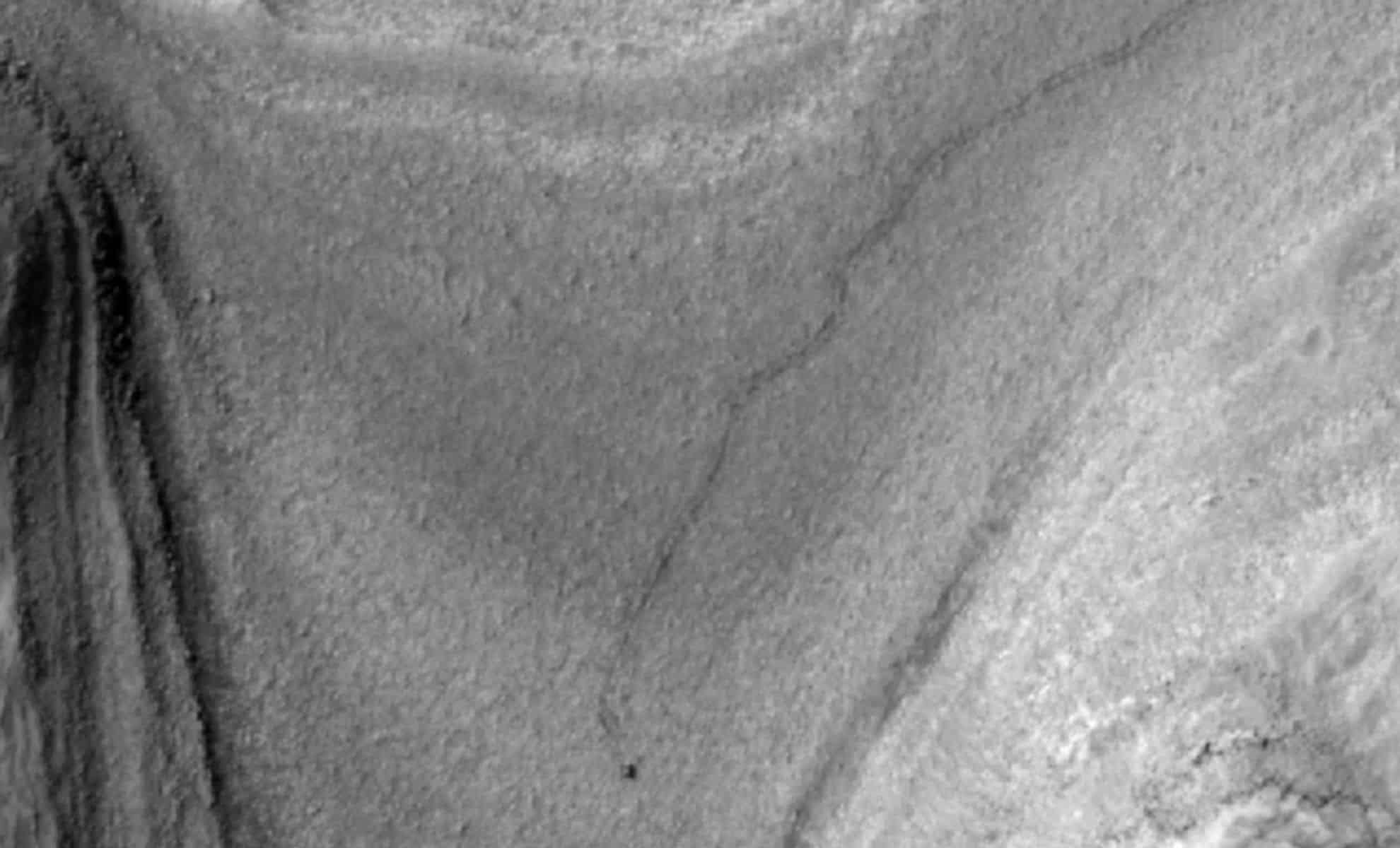
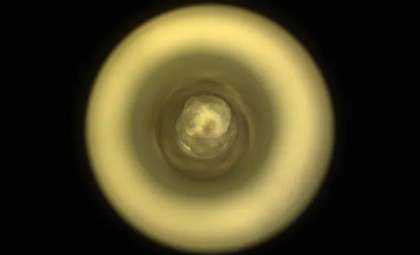
On February 28, 2025, NASA’s Mars Reconnaissance Orbiter (MRO) snapped a remarkable shot using its HiRISE camera, revealing a tiny dot at the forefront of a trail extending over 1,050 feet (320 meters). This visible path traces the rover’s recent travels across Mars as it approaches its next research location. Featured in a recent update from NASA’s Jet Propulsion Laboratory (JPL), the image celebrates the rover’s ongoing mission to unlock Mars’ long-hidden secrets.
The photo was taken just after the Curiosity rover completed a roughly 69-foot (21-meter) traverse on Sol 4466, making it one of the first orbital images capturing the rover while actively driving. The tire marks on the Martian soil will remain visible for several months before wind erosion gradually fades them.
Following Curiosity’s Path
Since its launch in 2012, Curiosity has navigated over a thousand drives across the red planet’s surface meticulously planned by engineers at NASA’s Jet Propulsion Laboratory. Together with scientists, they outline the rover’s daily objectives. The tracks captured in the HiRISE image represent 11 consecutive drives starting February 2, moving at a maximum pace of 0.1 miles per hour (0.16 kilometers per hour). These maneuvers edge the rover closer to a unique geological site believed to have been shaped by ancient groundwater billions of years ago.

The upcoming destination features boxwork formations, structures that likely formed through groundwater activity. Studying these could offer critical insights into Mars’ watery past and its potential to have harbored life. Scientists anticipate that analyzing the geological formations will deepen understanding of the planet’s earlier climate and its suitability for microbial life long ago.
A Trailblazer in Martian Science
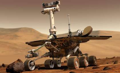
Curiosity’s mission has achieved astonishing progress since landing over ten years ago. Its key objective is to study Mars’ landscape, atmosphere, and potential for past life. Throughout its mission, the rover has delivered invaluable findings, including evidence of ancient lakebeds and organic compounds on Mars.
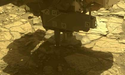
Although it moves deliberately over challenging terrain, Curiosity’s careful navigation is vital to its success. Outfitted with cutting-edge cameras and scientific tools, it conducts diverse tasks such as analyzing rocks and capturing images documenting its travels.
Doug Ellison, Curiosity’s planning lead at JPL, noted, “By matching the time HiRISE captured the photo with the rover’s commands for that day, we know the rover nearly completed the 69-foot drive.” Tracking Curiosity’s movement so precisely ensures it remains on track for new scientific opportunities despite Mars' rough landscape.
Advancing Toward Fresh Insights
This recent image of Curiosity’s tire tracks highlights the rover’s ongoing progress toward new scientific targets. As it climbs a steep incline, Curiosity prepares to explore an area that might hold key geological evidence. It is expected to reach this promising site soon, where scientists will investigate the boxwork formations created by ancient groundwater flow. Such studies could reveal valuable details about the planet’s historic climate and the persistence of liquid water necessary for life.
Curiosity’s approach to this challenging terrain showcases its adaptability. Though obstacles are anticipated ahead, the JPL team is ready to adjust the rover’s course in collaboration with scientists to maximize discovery potential.
- Categories:
- News


0 comments
Sign in to Comment