
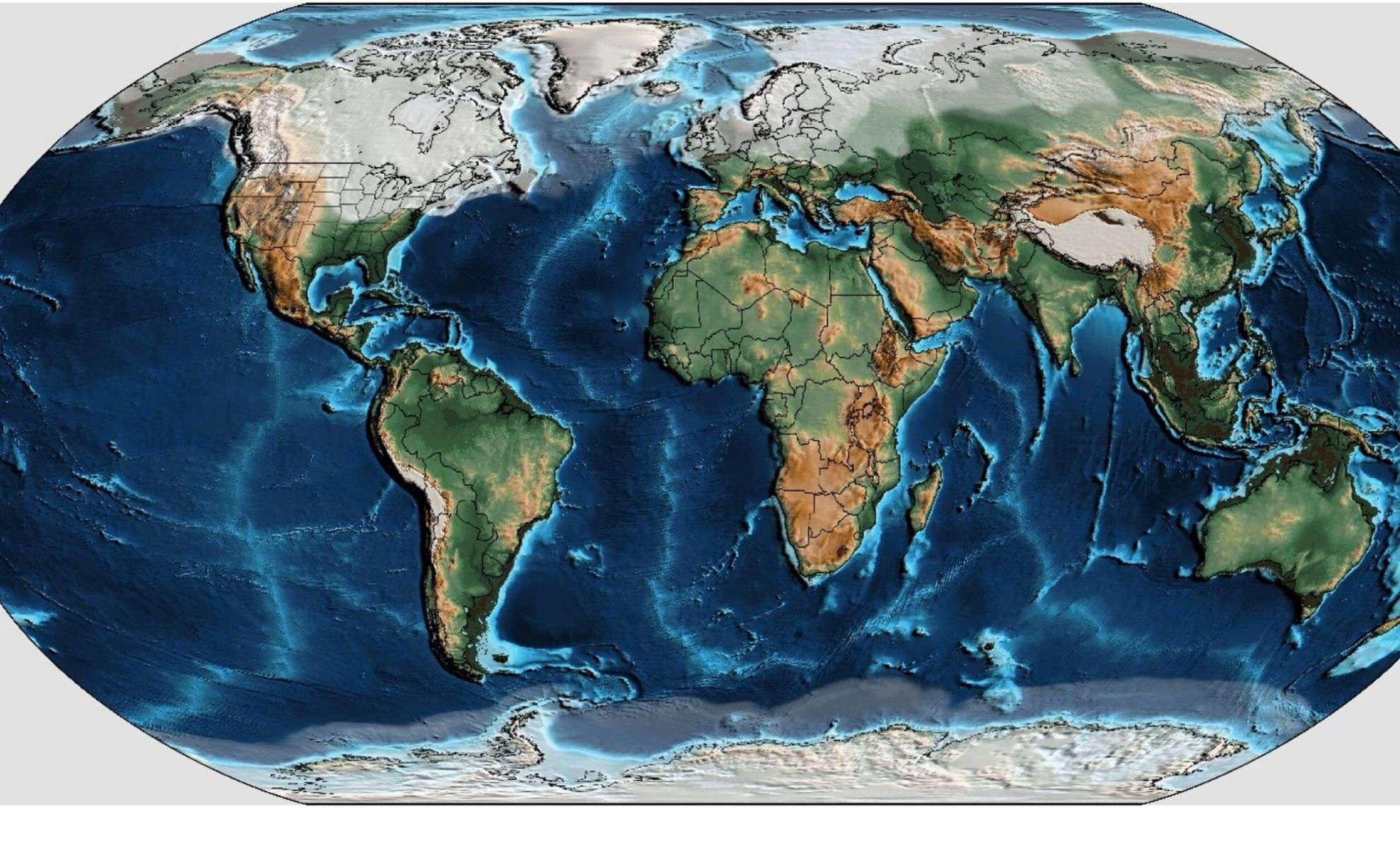
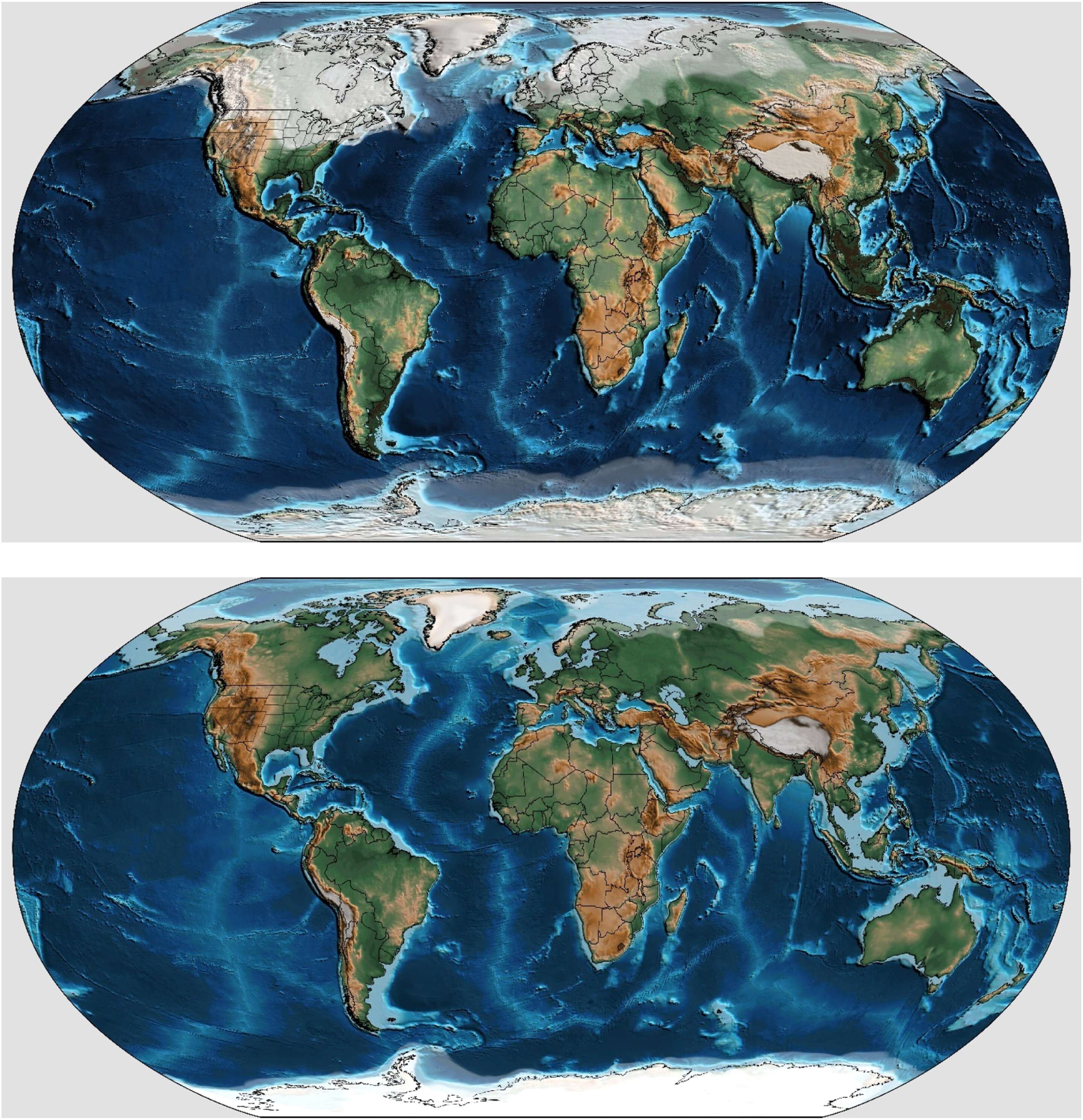
An international collaboration involving researchers from Utrecht University as well as institutions in the UK and US has achieved a groundbreaking reconstruction of Earth's sea level history. Featured in Earth and Planetary Science Letters, this study maps out sea level variations over the past 540 million years with unprecedented resolution. This advancement enables an examination of rapid sea level fluctuations occurring over millennia, offering fresh perspectives on Earth’s geological development, subsurface structure, and implications for environmental and renewable energy strategies.
Historically, sea level changes have been closely linked to tectonic movements and ice volume on land. Prior methods using fossil evidence and sedimentary layers reconstructed general sea level trends over millions of years, yet lacked the ability to detect changes on shorter timescales. This innovative approach delivers detailed data on sea level shifts at thousand-year intervals, revealing subtle cycles previously undetectable and enriching our understanding of Earth’s dynamic past.
How Tectonic Activity and Ice Sheets Shape Sea Level Changes
The primary influences on sea level variations remain tectonic motions adjusting ocean basin depths and glaciers modulating water storage on continents. Dr. Douwe van der Meer, who led the research, explains, "On the scale of about one million years, scientists can estimate sea levels using fossil records dating back roughly 540 million years." This extensive temporal coverage highlights periods marked by dramatic sea level shifts and sheds light on Earth’s climatic and geographical transformations over deep time.

Beyond long-term trends, the study also uncovers abrupt sea level changes happening over much shorter spans. "While there was speculation that sea levels might rise or fall dramatically within shorter periods, data scarcity limited analysis," says Dr. Van der Meer. The team's inclusion of sedimentary data at finer scales now provides a clearer picture of these rapid oscillations and their links to global climate variability.
Earth’s Axial Movements and Their Role in Sea Level Dynamics
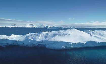
The tilt and wobble of Earth’s rotation axis critically affect climate rhythms, influencing glacial cycles and ocean levels. During cooler intervals marked by polar ice sheet expansion, these axial movements help dictate the timing and scale of ice ages lasting tens of thousands of years. Dr. Van der Meer elaborates, "Particularly during cold epochs with substantial polar ice, Earth’s spin axis wobbles rhythmically, triggering ice ages lasting tens of millennia, during which sea levels can change by up to 100 meters."
These cyclical patterns are essential for decoding how climate and ice sheets have co-evolved through time to drive sea level fluctuations. Tracking such variations at finer temporal scales sharpens our understanding of geological records and supports predictions of sea level responses amid ongoing climate change.
A Breakthrough for Subsurface Mapping and Environmental Applications
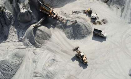
Insights into ancient sea level changes also bolster geological modeling, especially for constructing detailed maps of Earth’s subsurface strata. This study’s findings enable more accurate identification of sediment layers like claystone and sandstone, which are crucial for resource management. Dr. Van der Meer notes, "Periods of high global sea level correlate with continuous claystone deposits that act as impermeable seals, while intervals of low sea levels favor sandstone layers suitable for storing water or energy resources."
With refined reconstructions of sea level history, industries and researchers can better locate safe sites for storing energy, sequestering CO2, and disposing of hazardous waste, marking significant strides in sustainable environmental stewardship.
- Categories:
- News


0 comments
Sign in to Comment