
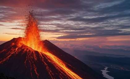
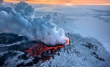
New research reveals a novel method for spotting volcanic activity by observing changes in plant life near volcano sites from satellite imagery. Studies, including data from the Smithsonian Tropical Research Institute’s AVUELO mission, demonstrate that trees take in carbon dioxide emitted by volcanoes, which leads to greener foliage. This subtle transformation in vegetation health could act as a crucial early alert to magma movement beneath the surface, potentially forecasting eruptions in advance.
Trees as Natural Indicators of Imminent Volcanic Activity
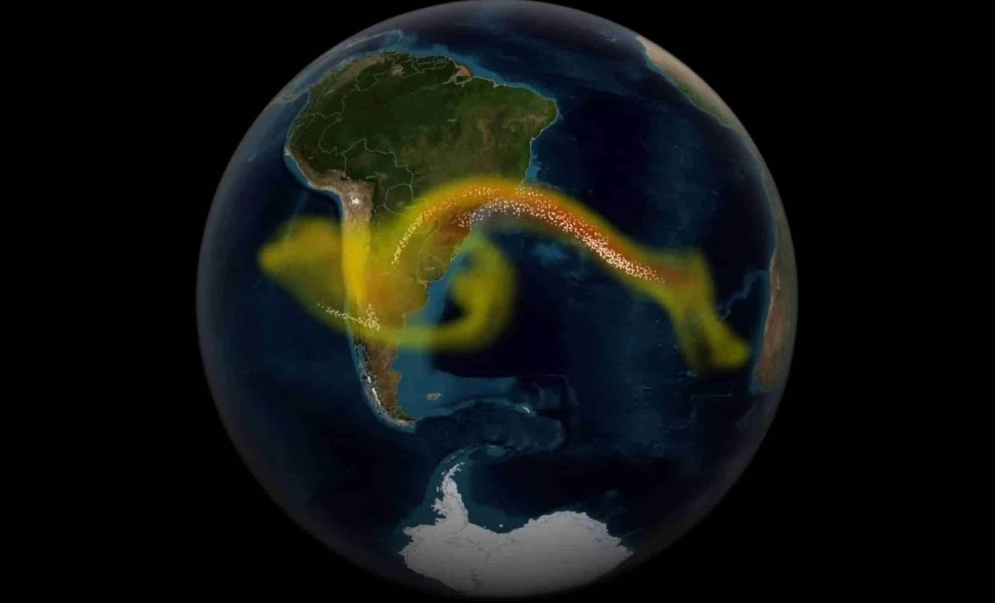
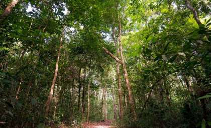
Volcanic eruptions emit gases like carbon dioxide as magma ascends underground. Surrounding trees absorb elevated levels of this gas, resulting in more vibrant and greener leaves—patterns that satellites can detect remotely. This link between volcanic emissions and plant responses offers an innovative way to monitor volcanoes from afar. Using NASA’s Landsat 8 satellite and airborne sensors from the AVUELO project, researchers can track vegetation variations in remote volcanic regions. Monitoring these greening effects from space provides a powerful tool to identify volcanic unrest before traditional signs become evident.
Improving Early Warnings with Plant-Based Volcanic Monitoring
“Early warning systems for volcanoes are already in place,” said Florian Schwandner, Earth Science Division chief at NASA Ames Research Center, who collaborates with Josh Fisher from Chapman University and Robert Bogue of McGill University. Schwandner noted, “Our goal is to enhance their sensitivity and provide earlier alerts.” While traditional detection relies on seismic signals, gas output, and ground shifts, spotting carbon dioxide directly from orbit remains difficult. Robert Bogue explained, “Volcanoes release significant carbon dioxide,” but pre-eruption emissions are often subtle and undetectable by satellite. “We seek an alternative measurable indicator rather than carbon dioxide itself,” Bogue added. Trees absorbing volcanic carbon dioxide and exhibiting greener leaves serve as this indirect, traceable signal.

Combining Satellite Data and Fieldwork for Precise Monitoring
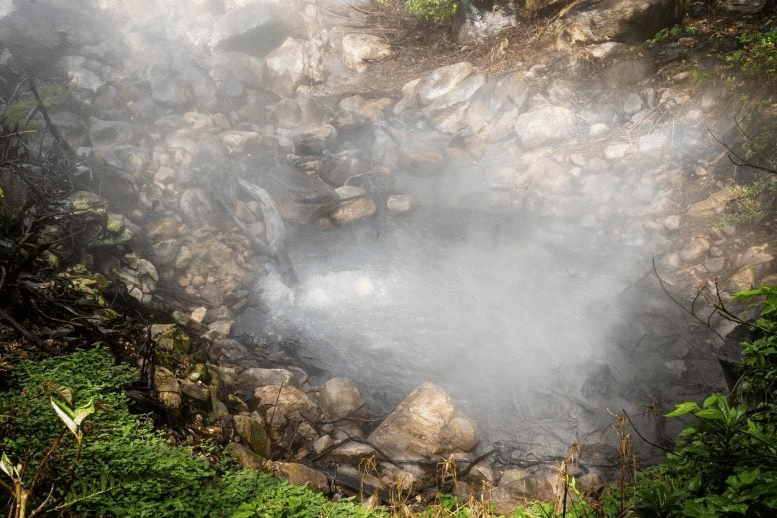
Volcanologist Nicole Guinn from the University of Houston underscored the importance of multiple satellite platforms: “There are numerous satellites available for this type of monitoring.” Scientists have used data from NASA’s Terra, Landsat 8, and ESA’s Sentinel-2 to observe vegetation shifts around volcanoes like Mount Etna in Italy. Nevertheless, satellite imagery alone isn’t sufficient. Field verification through leaf analysis and direct carbon dioxide sampling near active sites such as Costa Rica’s Rincón de LaVieja volcano is vital to validate the remote sensing data. This integrated technique boosts confidence in vegetation as an effective proxy for volcanic gas emissions, supporting earlier detection of volcanic unrest.
- Categories:
- News


0 comments
Sign in to Comment