
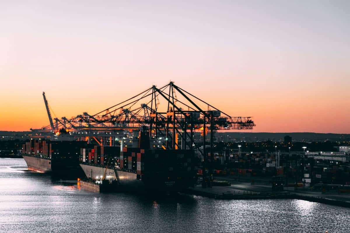
Vast fleets of industrial fishing boats traverse our oceans, essential to worldwide seafood markets. However, hidden beneath visible operations lies a covert fleet that slips beyond detection. These stealth vessels shut off their usual tracking signals or use other tactics to avoid being spotted. Their undertakings—from illegal fishing to unauthorized maritime maneuvers—create serious obstacles for marine conservation, global food stability, and law enforcement across nations.
In an innovative investigation, scientists at Global Fishing Watch harnessed cutting-edge satellite imagery combined with artificial intelligence (AI) to reveal the clandestine paths of these elusive ships. The research sheds light on the vastness of these hidden activities and highlights their alarming environmental and social repercussions. This approach could transform ocean oversight, safeguarding marine ecosystems and helping to clamp down on illicit actions at sea.
Nearly Three-Quarters Of Fishing Boats Invisible To Tracking Systems
Contemporary ship surveillance primarily relies on the Automatic Identification System (AIS), which broadcasts vessel positions in real time. While effective for regulated vessels, AIS has critical vulnerabilities. Many boats engaged in unlawful fishing, trafficking, or smuggling disable their AIS transmitters to stay off the grid.

Global Fishing Watch reports a staggering 72% to 76% of industrial fishing ships and close to 30% of ships related to transport and energy sectors are absent from public trackers. This lack of visibility is especially pronounced in biodiversity-rich regions such as South and Southeast Asia and coastal Africa, where overexploitation threatens ocean health.
As the researchers put it, “Our satellite mapping exposed extensive concentrations of vessel activity across ocean zones previously marked by virtually no detected ship movement on public tracking channels.” This discovery illustrates the difficulties in enforcing laws and conserving marine resources in such critical areas.
For communities reliant on ocean harvests, the impact is severe. More than one billion people depend on seafood for their main protein intake, and approximately 260 million workers worldwide contribute to marine fisheries. The absence of effective vessel monitoring undermines efforts to maintain sustainable fisheries, uphold marine protected zones, and fight environmental offenses.
AI and Satellite Imagery: Unmasking Hidden Maritime Traffic
The study’s innovation resulted from merging AI-driven data processing with high-resolution satellite imagery. Researchers evaluated over two petabytes of data from the European Space Agency’s Sentinel-1 satellites, employing deep learning models to chart ship activity with unmatched precision.
Three specialized convolutional neural networks were developed to analyze satellite radar images and GPS data. These models demonstrated:
- Above 97% accuracy in detecting objects,
- 98% precision identifying offshore installations,
- 90% success differentiating fishing vessels from other ship types.
The vast dataset contained 67 million image segments and 53 billion AIS data points. This immense effort uncovered previously unrecognized clusters of ships in ocean regions thought to be largely vessel-free. Earth notes that this new tracking approach could be critical for pinpointing illegal fishing zones, identifying maritime human rights abuses, and better enforcing protected marine areas.
Illegal Fishing Zones Fuel Regional Tensions
The so-called dark fleet is more than a blind spot in data; it represents illicit and damaging operations. The study highlighted hotspots in Southeast Asia, South Asia, and African coastal waters, where overfishing, exploitation, and environmental harm overlap. The lack of real-time insights hampers any attempts at regulation, enabling these harmful activities to continue unchecked.
The COVID-19 pandemic also provided a unique window into maritime patterns. Although global fishing activity dropped by 12% in 2020, transport and energy maritime sectors remained steady, spotlighting an intensifying competition for ocean space.
Offshore Energy Landscape: From Fossil Fuels to Wind Farms
Beyond fishing, the study examined offshore energy infrastructure. By 2021, offshore wind installations outnumbered oil platforms, signaling progress in the worldwide shift toward renewable energy. Wind turbines now constitute 48% of all offshore structures, compared with 38% occupied by oil rigs.
China has spearheaded this jump, boasting a 900% increase in offshore wind capacity between 2017 and 2021. Yet, oil-related maritime activity still drives five times more shipping traffic than wind farms, underscoring the challenge of balancing energy transition with existing environmental pressures.
The data revealed that while fishing trawlers avoid oil platforms to prevent net damage, other fishing vessels take advantage of these structures functioning as artificial reefs, attracting fish and other marine organisms.
Looking Ahead: Real-Time Ocean Surveillance
The authors also spotlight new tools poised to transform marine monitoring. The Rapid Earth Monitoring Information System (REMIS), created with the European Space Agency, aims to track ships almost instantaneously. Using in-orbit satellite image processing combined with AI ship detection, REMIS can vastly reduce lag in identifying hidden vessels.
“If ships can be instantly identified onboard and paired with AI algorithms, we could quickly flag unseen vessels and prioritize areas needing attention,” says Maris Tali, technical lead for the REMIS project. These innovations promise to enhance detection of illegal fisheries, improve navigation safety, and boost maritime security worldwide.
- Categories:
- News


0 comments
Sign in to Comment