
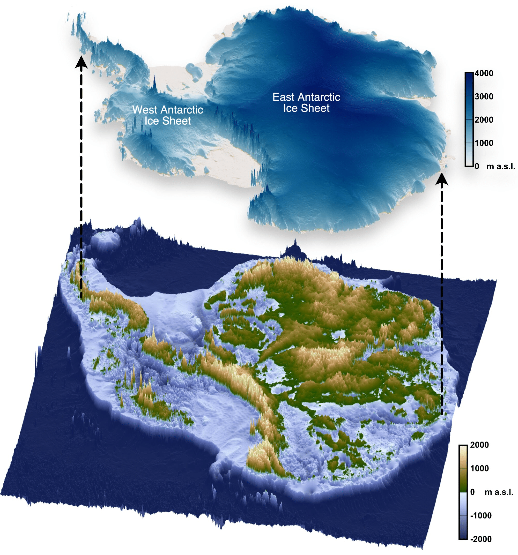
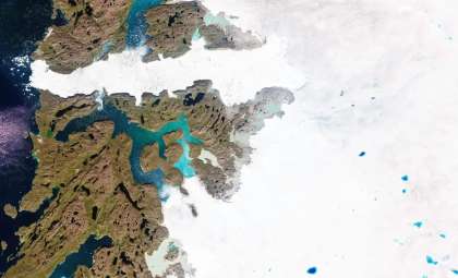
A recent study published in Nature Geoscience has unveiled a hidden landscape underneath the East Antarctic Ice Sheet, revealing ancient river plains that existed millions of years ago. Led by researchers at Durham University, the team employed radar scanning to map these expansive flat regions beneath the ice, shedding light on historical geological processes and enhancing our understanding of ice flow behavior that impacts global sea level changes. Their discoveries may improve forecasts of the East Antarctic Ice Sheet's response to climate shifts.
Unveiling Millennia-Old River Terrains Below East Antarctica
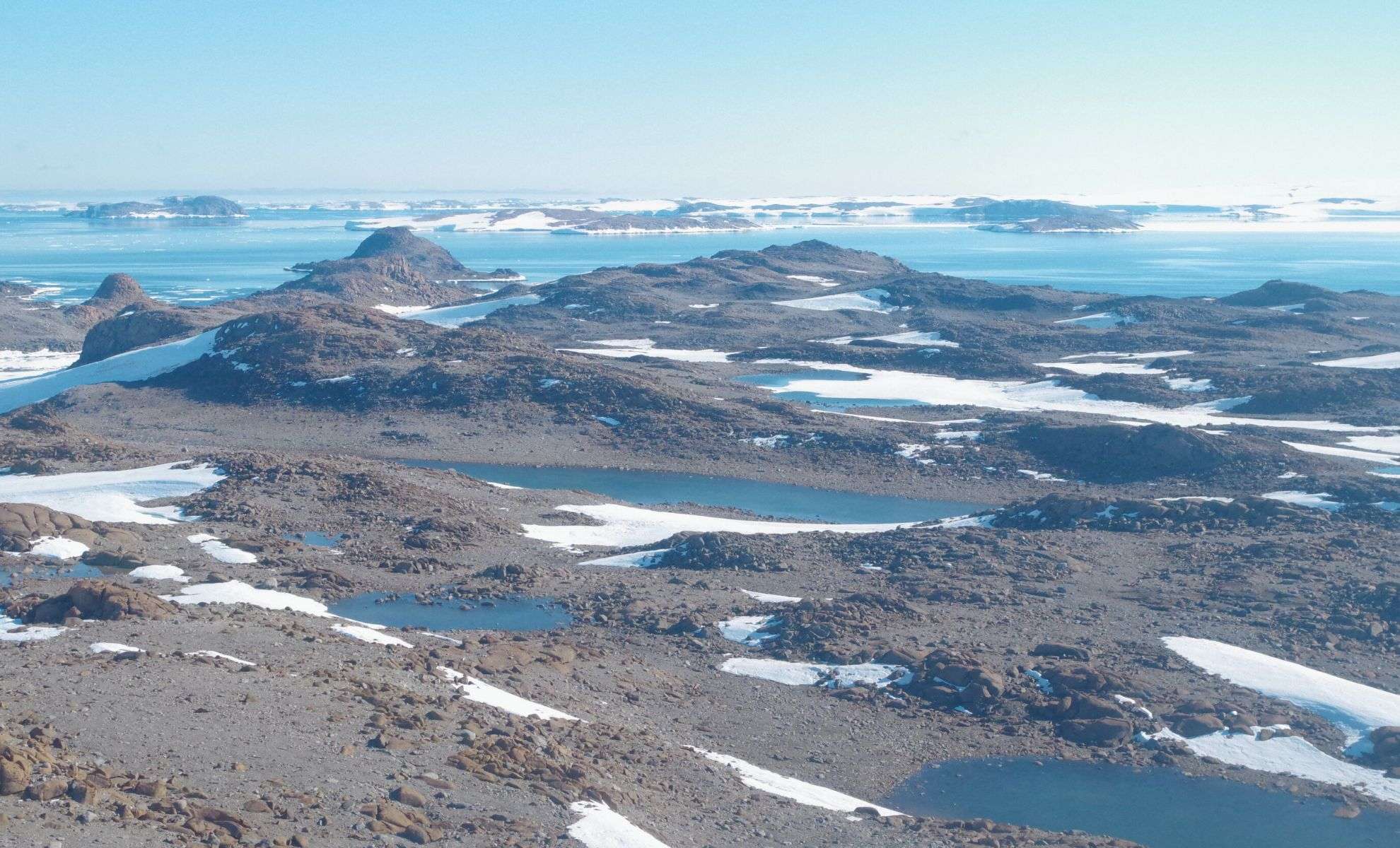
Stretching approximately 3,500 kilometers along the coastline from Princess Elizabeth Land to George V Land, these newly identified surfaces represent ancient river valleys formed before Antarctica was cloaked in ice. These terrains date back to when East Antarctica separated from Australia roughly 80 million years ago and were shaped before ice coverage enveloped the continent about 34 million years ago.
Dr. Guy Paxman, the lead scientist and Royal Society University Research Fellow at Durham University, highlighted the remarkable state of preservation of these landscapes. He remarked, “The terrain concealed beneath the East Antarctic Ice Sheet is among the most enigmatic landscapes on Earth and even across terrestrial planets in our solar system.” He explained how radar imaging exposed strikingly flat formations preserved over tens of millions of years, providing vital clues to how ice sheets interact with underlying geology.

Influence of Ancient Plains on Ice Sheet Movement
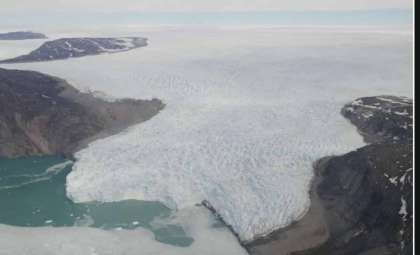
Buried beneath thick ice, these flat ancient riverbeds serve an important role in shaping glacier flow. Acting as natural barriers, they regulate the movement of ice, especially in areas where deep channels facilitate rapid glacier movement. Dr. Paxman noted, “The endurance of these flat landscapes for over 30 million years implies that certain parts of the ice sheet have preserved rather than worn down the terrain.”
This insight brings new understanding to the dynamic relationship between ancient landforms and contemporary ice streams. These flat regions may slow glacier speeds and influence the rate of ice discharge, a critical factor given East Antarctica’s potential to contribute up to 52 meters to global sea level rise if fully melted.
Enhancing Predictions of Ice Sheet Response in a Warming Climate
Identifying these ancient geological features is key to predicting how the East Antarctic Ice Sheet might behave as temperatures rise. Incorporating the existence of these flat surfaces into climate models allows scientists to simulate ice flow more accurately under warming scenarios, improving projections related to global sea level increases.
Professor Neil Ross, co-author and Professor of Polar Science and Environmental Geophysics at Newcastle University, commented on the discovery: “Evidence of ‘flat’ landscapes beneath Antarctic ice has long intrigued researchers. This comprehensive study unites various data to illustrate their origins, influence on current ice flow, and potential effects on future ice sheet development amid global warming.”
Furthermore, these findings emphasize the importance of investigating how such features affected ice dynamics during past warm periods, which could enhance forecasts of Antarctica’s response to ongoing climate changes and its impact on the world’s oceans.
- Categories:
- News


0 comments
Sign in to Comment