
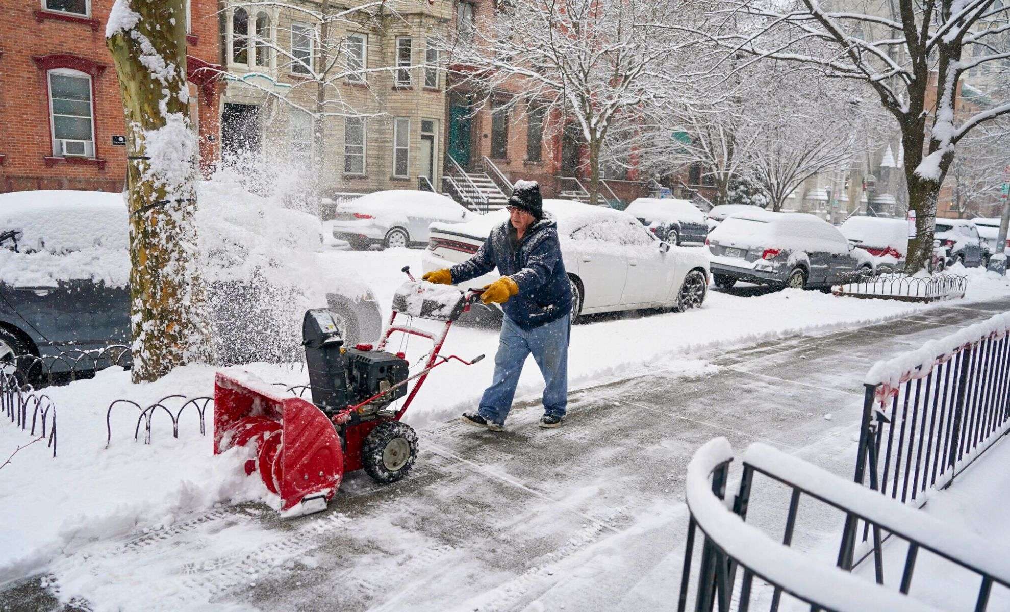
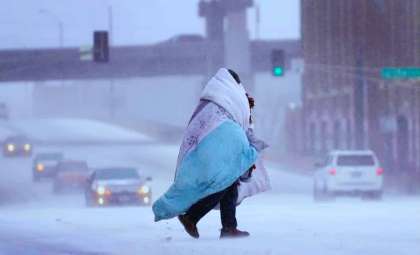
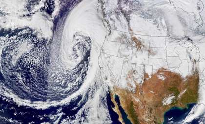
As the holiday season progresses, multiple storm systems are impacting the United States, presenting hazardous weather that could disrupt travel plans, mainly in the Pacific Northwest and the East Coast. Flight delays and dangerous road conditions have already started, prompting travelers to remain vigilant and adapt their schedules as necessary.
Severe Weather Hits the Northwest Hardest
Continuous Storms Affect Northern California, Oregon, and Washington
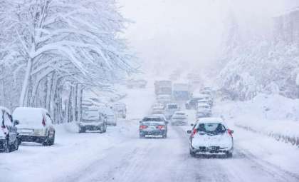
Meteorologists anticipate that the Pacific Northwest will endure successive storms, likely delivering between 3 and 5 inches of rainfall across parts of California, Oregon, and Washington. Mountainous zones may encounter snowfall reaching up to 3 feet, raising concerns about hazardous conditions at higher elevations.
- Travel Challenges: Driving through mountain routes is forecasted to become highly risky, with warnings signaling that transit could soon be "very difficult to impossible."
- Flooding Dangers: Increased river levels may cause flooding, with potential rock and mudslides threatening exposed regions, complicating the already volatile weather outlook.
Alerts Issued for Winter Storm Conditions
Winter storm warnings cover much of the Northwest, stretching from California to Wyoming. Wind gusts reaching up to 45 mph are predicted in some areas. Officials advise to avoid mountainous travel and prepare for possible road closures due to adverse weather.

Key Winter Weather Alerts by State
East Coast Prepares for Storm Surge From Southern U.S.
Storms Moving from South-Central U.S. to Northeast
Storm activity originating in Texas is advancing northeastward, bringing severe weather to Mississippi, Louisiana, and the Tennessee Valley by Friday. Expect thunderstorms, hail, and damaging wind gusts, creating risky conditions.
- Heavy Rainfall: Certain areas could face up to 8 inches of rain through the weekend.
- Flooding Risk: Meteorologists caution about rapid runoff in mountainous regions, which may result in urban flooding. Communities prone to flash floods are especially at risk.
- Tornado Watch: The southeastern states remain on alert for tornadoes, reflecting the increasingly frequent and intense weather events in the area.
Storm Advancing to the North
By Sunday, the storm system will reach the Mid-Atlantic and Northeast, bringing poor visibility, heavy rainfall, and urban flooding to cities such as New York, Philadelphia, and throughout New England. Travelers should expect growing delays during this period.
“Shifting travel time to well before or after the storm leaves may be a better option, when possible,” according to AccuWeather.
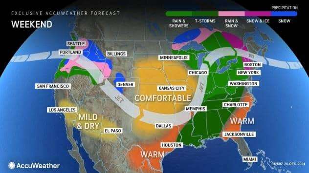
Portland's Christmas Week: Wind and Rain Combine
Snow in the Cascades and Coastal Windy Conditions
While heavy rain affects many parts of the nation, Portland, Oregon is facing a mix of intense weather. Forecasts predict strong winds paired with heavy rainfall, culminating in a storm front impacting the coast on Christmas Day.
- Cascades Snowfall: Beginning Wednesday night, snow levels will drop in the Cascades, affecting routes above 4,000 feet and potentially causing major travel interruptions.
- Wind Gusts: Winds may reach speeds up to 40 mph in the valley with stronger gusts near the coast. Officials warn about potential power outages and fallen trees.
Travel Advisory for the Holidays
Weather authorities urge drivers to be cautious while traveling through the region during the holiday week. The combination of strong winds, heavy rain, and significant snowfall could make journeys extremely hazardous, especially during peak traffic periods.
“It is strongly recommended to alter travel plans during the storm. Travel is expected to become very difficult to impossible,” the National Weather Service stated.
- Categories:
- News ,
- Climate change


0 comments
Sign in to Comment