
Greer Jarrett, an archaeologist at Lund University in Sweden, dedicated three years to retracing the maritime routes of the Vikings, unearthing surprising revelations about their sea travel. In his recent paper featured in the Journal of Archaeological Method and Theory, Jarrett presents evidence that Vikings ventured much farther into open waters, following routes farther from shore than historians previously assumed.
Venturing Beyond Coastal Waters
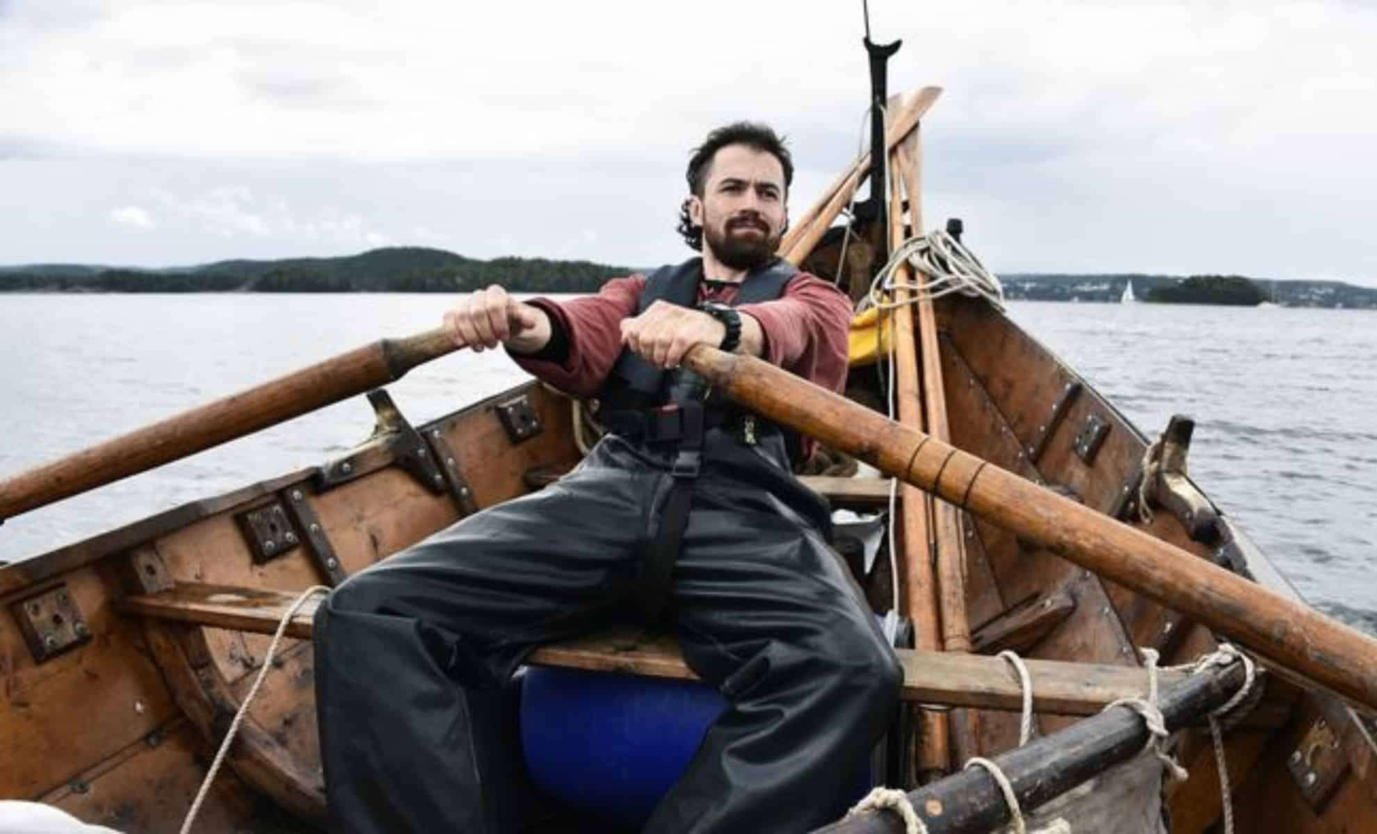
To explore Viking navigation, Jarrett and his team navigated a reconstructed Viking Age clinker boat equipped with a square sail, covering over 5,000 kilometers along established Viking trade paths. Their journey included a 2022 expedition from Trondheim to the Arctic Circle and back. This vessel proved capable of handling open seas and severe weather, though sailing near land, especially in fjord regions, presented challenges like underwater currents and mountain-induced katabatic winds.
By experiencing these conditions firsthand, Jarrett confirmed the boats’ remarkable stability despite their shallow hulls and absence of deep keels. He also gathered oral histories from Norwegian sailors and fishermen who, even into the early 1900s, navigated using traditional, engine-free methods. Combining direct sea trials with local maritime knowledge, Jarrett charted likely Viking routes that often kept ships farther offshore than formerly thought.

Ancient Lore Guiding Viking Mariners
Viking sailors didn’t rely on physical maps or instruments like compasses but instead used intricate “mental maps” shaped by storytelling, personal experience, and coastal myths.
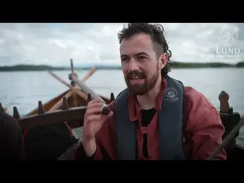
Jarrett remarks, “Vikings told tales about islands like Torghatten, Hestmona, and Skrova off Norway’s coast. These stories warned sailors about hazards or highlighted key navigation landmarks.”
Such narratives contributed to a “maritime cultural mindscape,” a sophisticated web of knowledge and folklore that enabled Vikings to safely traverse perilous seas.
Discovering Lesser-Known Viking Harbors
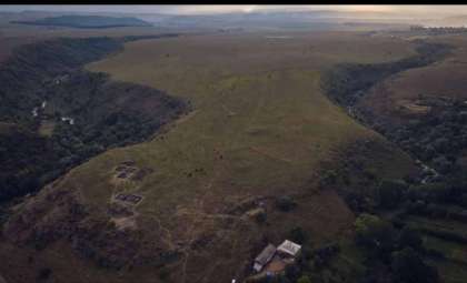
Jarrett’s investigations revealed four lesser-documented Viking harbors, termed “havens,” situated farther offshore than major ports such as Bergen, Trondheim, Ribe, and Dublin. These small harbors likely offered convenient stopping points where crews could rest and exchange information during lengthy voyages.
“For this kind of vessel, easy entry and exit at all wind conditions is crucial,” Jarrett explains. “There need to be multiple approaches for safety.”
While shallow bays posed no issue thanks to the boats’ shallow draft, navigating deep into narrow fjords was more difficult due to the square rig’s limitations and the boats’ vulnerability to katabatic winds. Jarrett suggests that during the Viking Age, a network of many small harbors likely existed, providing a decentralized system critical for facilitating trade and travel between the larger port cities.
The Harsh Realities of Viking Sea Expeditions
The voyage was not without danger. In May 2022, while navigating Vestfjorden, the yard supporting the main sail snapped 25 kilometers offshore, forcing the crew to improvise by tying together two oars to stabilize the sail. Despite this setback, the team returned safely and spent several days conducting repairs before proceeding.
Jarrett highlights the vital role of teamwork and resilience: “A vessel must endure diverse weather, but without a crew capable of cooperating and enduring tough conditions over extended periods, such journeys would be nearly impossible.”
- Categories:
- News


0 comments
Sign in to Comment