
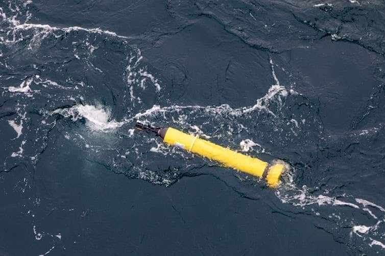
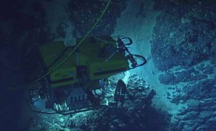
An autonomous robotic float, missing for almost nine months beneath Antarctica’s dense ice, has surprisingly reappeared, delivering precious oceanographic data from locations never before studied. This Argo float, deployed in 2020 by Australia's national scientific organization CSIRO, was initially tasked with gathering oceanic measurements near the Totten Glacier.
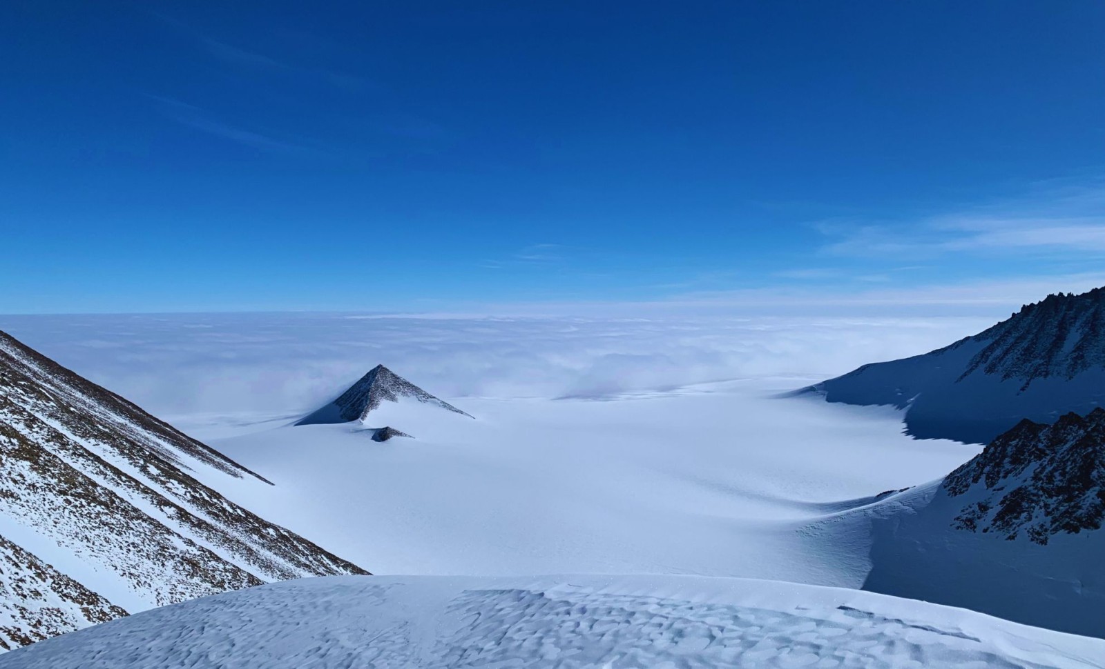
However, Antarctica’s harsh and dynamic conditions took over. Driven by ocean currents, the float drifted southward, disappearing under the Denman Ice Shelf where its GPS signals were lost. After months of silence, it emerged carrying invaluable temperature and salinity readings from one of Earth’s most remote and inaccessible zones.
Exploring the Hidden Ocean Beneath the Ice
Over a span of two and a half years, the float collected 195 vertical profiles every five days, charting ocean conditions from the seafloor up to the base of the ice shelf. These measurements originated from previously unreachable sectors beneath East Antarctica’s ice. This marks the first time such detailed ocean data has been collected in this region using an autonomous float.

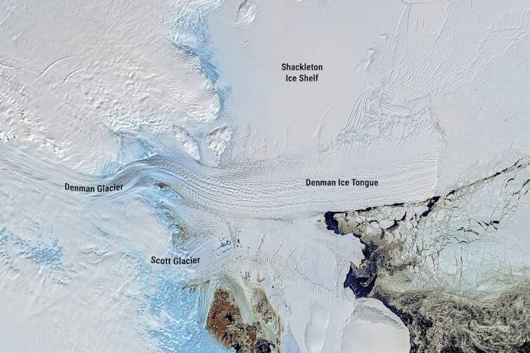
According to The Conversation, the research uncovered two critical discoveries: while the Shackleton Ice Shelf remains largely shielded from warmer ocean waters, signs of melting are evident at the Denman Glacier.
Tracking the Float’s Journey Beneath the Ice
Even though the float’s GPS ceased functioning during its time underwater, scientists devised an innovative way to estimate its trajectory. Oceanographer Steve Rintoul explained that the float recorded data every time it made contact with the ice’s underside. These contact points provided measurements of ice draft, which, when matched with satellite imagery , allowed researchers to reconstruct its path under the ice.
This unintended mapping exposed a fragile thermal ecosystem beneath the ice shelves, where warm and cold water layers delicately converge. The current conditions captured by the float suggest that the ice structures are temporarily stable, but ongoing warming could easily disrupt this balance.
Revolutionizing Polar Research with Autonomous Ocean Sensors
This unexpected outcome has transformed perspectives on monitoring polar oceans. Traditionally, thick ice prevented devices like Argo floats from operating in these extreme environments, but this case demonstrates their capacity to survive—and even excel—under the ice.
The CSIRO team now plans to deploy similar floats across other poorly studied Antarctic regions. Although controlling or navigating these devices remains limited, they offer an affordable and dependable means to collect direct oceanographic data beneath massive ice formations. Scientists emphasize that despite constraints, these insights are crucial for improving climate models predicting future sea level changes.
- Categories:
- News


0 comments
Sign in to Comment