
The collaborative NASA-ISRO Synthetic Aperture Radar (NISAR) mission has unveiled its inaugural radar images of Earth, capturing remarkable surface details from its orbital vantage point. This achievement represents a major step forward in this joint space endeavor aimed at advancing Earth observation. For comprehensive information and image specifics, visit the NASA announcement released on September 25, 2025.
Launched on July 30 via ISRO, NISAR is equipped with innovative dual-frequency radar technology designed to produce high-resolution imagery of Earth's terrain. The project’s primary goal is to enhance real-time environmental surveillance, with official operations anticipated to start soon.
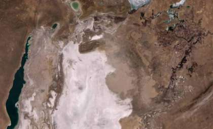
Monitoring Earth’s Dynamic Systems from Space
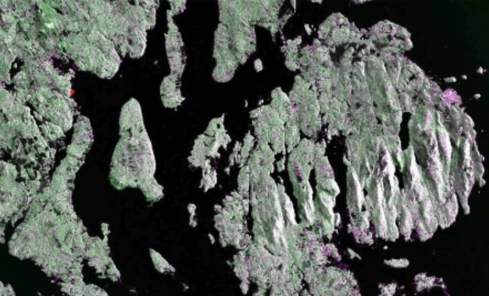
The first radar image, taken on August 21, depicts Mount Desert Island near Maine’s coastline. This image leverages NASA's Jet Propulsion Laboratory-built L-band radar. Unlike traditional photography, the radar data is color-coded: water bodies appear dark, forest areas are green, and urban or barren zones show up as magenta.

The radar’s resolution allows it to detect features as small as 5 meters. This precise detail reveals tiny streams and islands dotted along the shore, enabling researchers to monitor environmental changes such as shore erosion and deforestation with unprecedented clarity.
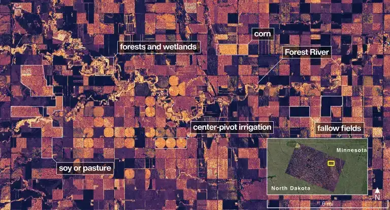
Two days afterward, on August 23, NISAR captured an image over North Dakota, highlighting farmland in Grand Forks and Walsh counties. The radar image distinguishes wetland and forest zones near the Forest River from sprawling agricultural fields. Color variations even help identify different crops, with circular irrigation patterns indicative of prevalent pivot irrigation systems in Midwest farming.
Advanced Radar Capabilities for Comprehensive Earth Observation
The distinguishing feature of NISAR is its dual radar system: L-band and S-band frequencies. NASA’s L-band radar has a longer wavelength, enabling it to penetrate forest canopies and assess subsurface conditions such as soil moisture, ground shifts, and subtle tectonic movements related to earthquakes or volcanic phenomena. Meanwhile, the ISRO-developed S-band radar excels at imaging finer surface elements like grasslands and crops.
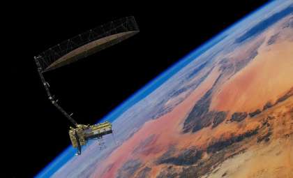
This dual radar setup offers scientists an unparalleled tool to observe both surface and sub-canopy transformations from an altitude of 747 kilometers. The satellite’s notably large 12-meter-wide drum-shaped radar antenna is the biggest NASA has launched to date. Orbiting Earth, it will scan the entire planet every 12 days twice over, compiling extensive data on terrestrial and ice regions.

International Collaboration Driving Innovation
ISRO supplied the satellite bus, the S-band radar, and handled the launch from the Satish Dhawan Space Centre. It also oversees ongoing operations via its Telemetry, Tracking, and Command Network.
NASA, through Caltech’s Jet Propulsion Laboratory, was responsible for the development of the L-band radar, along with the radar boom, reflector, and rapid data processing systems. The high-speed data transmissions utilize NASA’s Near Space Network managed at the Goddard Space Flight Center.
As Amit Kshatriya, NASA’s Associate Administrator, explained, “By understanding how our home planet works, we can produce models and analysis of how other planets… work.” This mission not only enriches Earth science but also lays groundwork for exploring the Moon, Mars, and further horizons.
Acting NASA Administrator Sean Duffy also emphasized that these initial images “are a testament to what can be achieved when we unite around a shared vision of innovation and discovery.” Full-scale scientific operations are scheduled to commence in November 2025, with high expectations for new insights into Earth's environment.
- Categories:
- News


0 comments
Sign in to Comment