
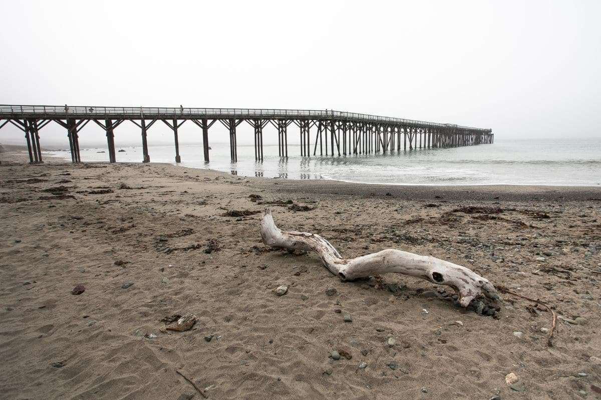
Coastal communities across California are facing growing challenges from rising seas, yet new research indicates that existing forecasts may underestimate the risks. Scientists at NASA’s Jet Propulsion Laboratory (JPL) highlight that land subsidence, or sinking ground, is accelerating sea level impacts more than previously accounted for.
The investigation shows some regions along the California coast are sinking notably faster, causing local sea level increases to outpace earlier predictions.
Advanced Satellite Measurements Expose Surprising Land Shifts
By utilizing radar data from the European Space Agency’s Sentinel-1 satellites combined with in-situ sensors, JPL researchers assessed more than 1,000 miles of coastline in California. Their findings, detailed in Science Advances, compare recent data from 2015–2023 against past records.

The team observed that the San Francisco Bay Area is subsiding at rates exceeding 0.4 inches (10 mm) annually, primarily due to soil particles compressing over time, a process known as sediment compaction. This phenomenon is a significant driver of ground sinking across the region.
In low-elevation communities including San Rafael, Corte Madera, Foster City, and Bay Farm Island, local sea level rise might surpass 17 inches (45 cm) by mid-century.
The Role of Human Influence in Worsening Land Sinking
Anthropogenic factors such as excessive groundwater withdrawal and oil and gas extraction have been recognized contributors to subsidence.
In metropolitan areas like Los Angeles and San Diego counties, these human activities could elevate uncertainties in sea level projections by as much as 15 inches (40 cm), complicating precise future flood risk assessments.
Contrastingly, certain zones such as Santa Barbara’s groundwater basin and parts of Long Beach are experiencing slight land uplift at rates of several millimeters per year.
NASA’s Enhanced Monitoring Plans to Refine Predictions
To address these challenges, NASA JPL is initiating the OPERA project (Observational Products for End-Users from Remote Sensing Analysis), designed to work alongside NISAR (NASA-ISRO Synthetic Aperture Radar), a collaborative mission between NASA and ISRO.
These efforts aim to deliver high-resolution, near-real-time terrain elevation updates across North America, enabling precise tracking of both sinking and rising land.
Improved data will empower urban planners and decision-makers to better anticipate shifting ground conditions when developing climate adaptation strategies.
Time-Sensitive Challenges for California’s Coastal Infrastructure
These revelations carry significant consequences for California’s shoreline cities, which are actively pursuing climate resilience measures. However, reliance on outdated sea level data could leave them vulnerable to stronger-than-expected flooding.
As subsidence accelerates in key urban zones, updating flood prediction models, construction regulations, and emergency protocols becomes critical to effectively prepare for a coastline that is threatened not only by ocean rise but by the sinking land beneath it.
- Categories:
- Climate change


0 comments
Sign in to Comment