
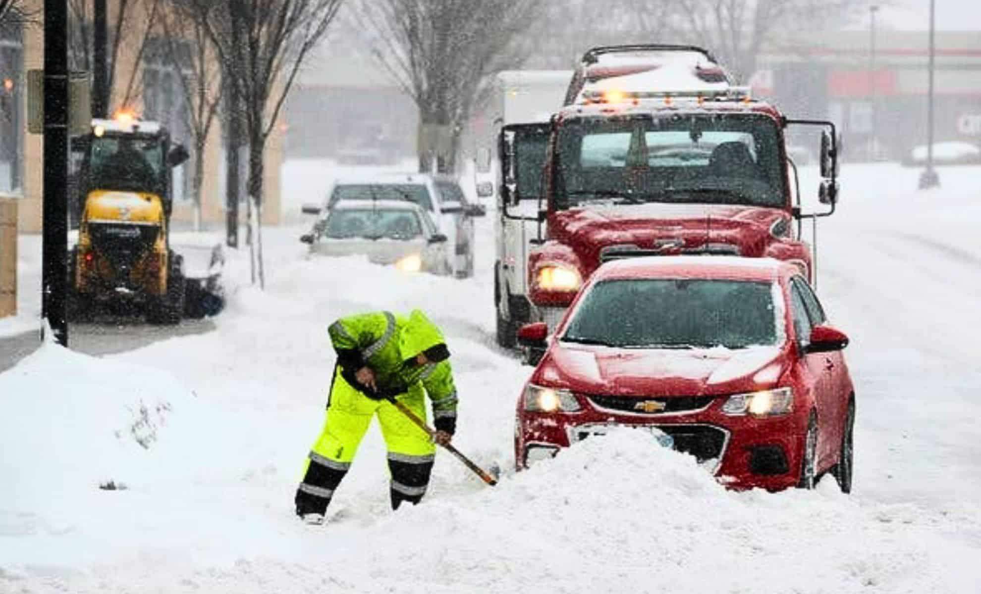
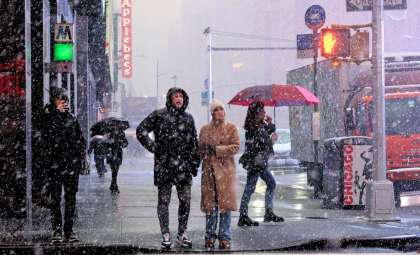
An intense winter storm is forecasted to affect Upstate New York, leading the National Weather Service (NWS) to release several winter storm warnings and advisories. These alerts warn of heavy snow, powerful winds, and dangerous travel conditions. Snowfall totals are predicted to range between 4 and 17 inches across various regions, with blizzard-like conditions possible due to heavy snow squalls.
Residents should prepare for challenging driving scenarios, as wind gusts reaching up to 40 mph may cause snowdrifts and sharply reduced visibility in some locations. The harshest weather is anticipated overnight from Tuesday into Wednesday, with the chance of additional snow later in the week.
Estimated Snowfall and Key Areas to Watch
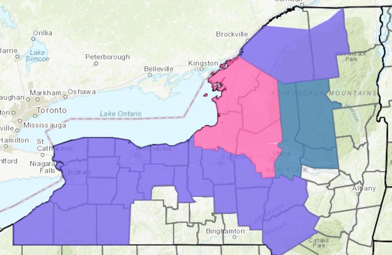
The heaviest snowfall is expected over the Tug Hill Plateau and Adirondack Mountains, where totals could exceed 12 inches by Friday morning. These places are currently under a winter storm warning due to the threat of severe conditions.

Snow Accumulation Forecast for Central and Western New York
- Oswego, Jefferson, and Lewis counties: 8 to 17 inches (winter storm warning).
- Monroe, Ontario, Livingston, Genesee, Orleans, Erie, and Niagara counties: 3 to 7 inches (winter weather advisory).
- Wayne and Cayuga counties: 4 to 8 inches.
- Wyoming, Chautauqua, Cattaraugus, and southern Erie counties: 5 to 9 inches.
- Seneca, Cayuga, Madison, Onondaga, Cortland, Otsego, and Delaware counties: 4 to 9 inches.
- St. Lawrence and Franklin counties in the Adirondacks: 4 to 7 inches.
Snowfall Schedule
- Tuesday night (7 PM – 4 AM Wednesday): Snow arrives quickly through a strong Alberta clipper system, causing widespread accumulation.
- Wednesday afternoon: Additional snow squalls of high intensity are expected.
- Thursday and Friday: Persistent lake-effect snowfall may continue, leading to further buildup.
Snow Squalls Driving Dangerous Travel Conditions
Intense snow squalls will cause sudden visibility changes, posing serious risks for drivers. These snow events are predicted to be more severe and widespread compared to earlier in the week.
Travelers should adhere to the following guidance:
- Refrain from travel during periods of snow squalls unless absolutely necessary.
- Exercise extreme caution when roadways are impacted by snow and wind.
- Be ready for rapid visibility reductions caused by drifting snow.
The New York State Department of Transportation (NYSDOT) cautions that black ice, snowy surfaces, and poor visibility will increase hazards on roads.
Air Travel Disruptions Expected
Delays and cancellations may occur at airports in Buffalo, Rochester, Syracuse, and Albany due to heavy snow and low visibility. Passengers should verify flight statuses directly with their airlines.
Potential Delays and Closures
School districts across Central and Northern New York are likely to enact delays or closures contingent on snowfall amounts and road conditions. Businesses in the storm's path should anticipate operational disruptions.
Power Outage Risk Amplified by Strong Winds
Alongside heavy snow, gusts reaching 35 to 40 mph will bring additional challenges such as:
- Snow drifting that decreases visibility.
- Wind chills creating dangerously cold exposure outdoors.
- Falling tree limbs and potential power failures, especially where snow accumulates heavily.
Notably, on Monday, several locations experienced powerful wind bursts:
- Buffalo reported gusts as high as 63 mph.
- Watertown recorded 57 mph gusts.
- Rochester experienced winds reaching 53 mph.
Such strong winds can cause downed power lines, toppled trees, and hazardous driving conditions.
Additional Winter Weather Risks Through Week's End
While the main snow event will begin to subside by Thursday, a subsequent system arriving from the southeast could bring a mix of freezing rain, sleet, and snow on Friday, especially from lake-effect precipitation. Forecasts remain uncertain regarding the intensity and exact impacts of this second system.
An Above-Normal Snow January in 2025
This season has seen below-average temperatures and above-average snowfall. By January 27, Syracuse reported 34.5 inches of snow, exceeding the monthly average of 29.6 inches and making it the snowiest January in the last seven years.
- Categories:
- News

0 comments
Sign in to Comment