
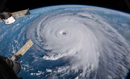
Europe’s Copernicus initiative has secured funding for six upcoming satellite missions designed to enhance the observation of crucial environmental factors. This investment will elevate global monitoring capabilities concerning climate dynamics, ice coverage, agricultural conditions, and greenhouse gas emissions. Beyond supporting climate research, these satellites will offer essential data to guide policy decisions that shape the planet’s sustainable future. Led by the European Space Agency (ESA), this programme is part of a wider effort to elevate environmental stewardship worldwide.
How Copernicus Satellites Improve Climate and Ice Observation
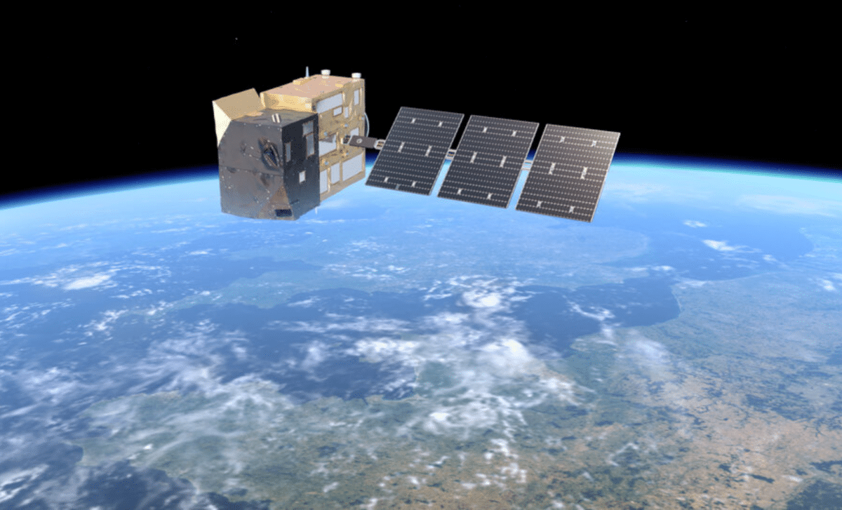
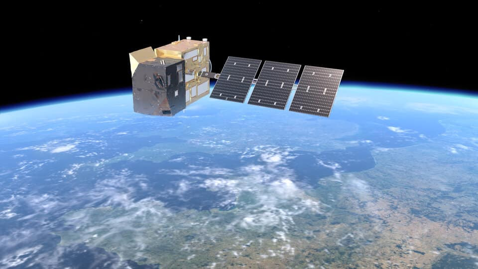
Copernicus missions have long been vital in Earth observation, providing detailed insights into atmospheric, oceanic, and terrestrial processes. The incoming satellites will feature cutting-edge sensors to detect subtle variations, including precise measurements of ice sheet behavior and greenhouse gas concentrations. Among these new missions, the Copernicus Imaging Microwave Radiometer will focus on gathering critical data on polar seas and ice thickness to better understand Earth’s icy environments.
Simonetta Cheli, ESA's director of Earth observation programs, highlighted the significance of the UK’s renewed involvement, noting, “The decision by the UK Government to participate in the EU Copernicus Programme has been essential.” This re-engagement in 2024 marks a pivotal step, enhancing the quality and scope of climate tracking data vital to scientists and policymakers addressing global climate commitments.

Expanding Greenhouse Gas Surveillance with New Satellites
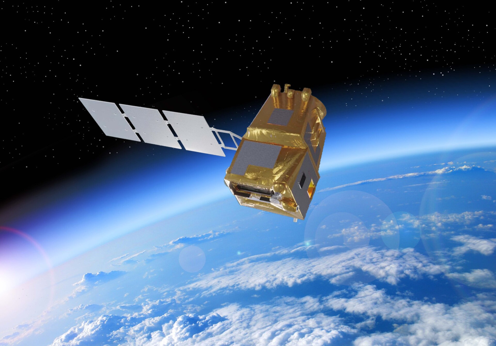
A standout feature of the Copernicus expansion is the Anthropogenic Carbon Dioxide Monitoring Mission. This project aims to improve the precision of tracking key greenhouse gases, such as carbon dioxide and methane, which are primary contributors to climate change. Detailed, on-demand monitoring is critical in supporting countries to fulfill emissions reduction commitments under frameworks like the Paris Agreement.
Orbiting roughly 457 miles above Earth, the mission’s satellites will use high-resolution spectrometers to detect minor alterations in sunlight signatures, signaling the presence of these gases. This technology enables focused observation of emissions from urban centers, manufacturing zones, and other human-induced sources. Despite challenges such as cloud interference and variable wind patterns, the mission promises to deliver highly granular data to bolster climate action effectiveness.
Leveraging Hyperspectral Imaging to Boost Agriculture
The Copernicus Hyperspectral Imaging Mission for the Environment is another innovative addition, employing hyperspectral technology to capture extensive data on farmland. This approach aids in refining agricultural methods and optimizing crop production by analyzing soil health, water availability, and plant vitality through hundreds of narrow spectral bands.
With this data at their disposal, farmers can make informed choices on irrigation, fertilization, and managing crops proactively. Early detection of nutrient shortages or water stress—often invisible to the naked eye—will help maximize yields and minimize resource waste. This initiative represents a significant step toward integrating advanced tech solutions with agriculture to safeguard food supplies worldwide.
Utilizing Satellite Data to Inform Climate Adaptation
Collecting data is just one facet of the Copernicus missions; transforming it into actionable insights is equally critical. The Copernicus Land Surface Temperature Monitoring Mission exemplifies this, capturing thermal infrared emissions from Earth’s surface to pinpoint temperature irregularities that reveal crop stress or urban heat island effects.
Such temperature information is essential for comprehending local climate trends and enabling forecasts of extreme events like droughts, heatwaves, and floods. Moreover, city planners can apply this data to design urban environments resilient to climate adversities.
Precision in Tracking Emissions and Pollution
Accurate tracking of emissions is fundamental in tackling climate change, and the Copernicus Anthropogenic Carbon Dioxide Monitoring Mission offers unmatched precision. Equipped with advanced spectrometers, these satellites will monitor carbon dioxide, methane, nitrogen dioxide, and aerosols, all of which heavily influence global warming.
Pinpointing emission sources is as crucial as measuring total outputs. By identifying hotspots, targeted policies can be implemented to curb pollution more efficiently. The satellite network will also provide independent verification, fostering transparency and accountability vital for international climate agreements.
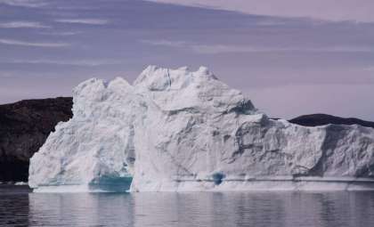
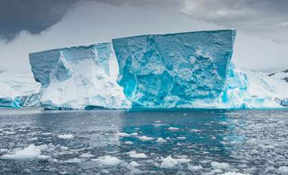
Advancing Polar Climate Research with Copernicus
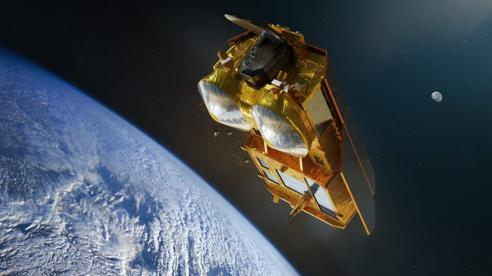
The Earth’s polar areas are experiencing some of the fastest climate changes worldwide. The Copernicus Polar Ice and Snow Topography Altimeter Mission is dedicated to observing polar ice and snow with exceptional accuracy. Employing radar altimetry to measure sea ice and snow thickness, it provides fundamental data for assessing the pace of ice melt.
The insights delivered by these satellites will improve climate model predictions related to sea-level rise, aiding in planning for vulnerable coastal populations. Since polar ice is a key climate change indicator, timely and precise data from Copernicus will be vital for shaping adaptive strategies for the future.
- Categories:
- Climate change


0 comments
Sign in to Comment