
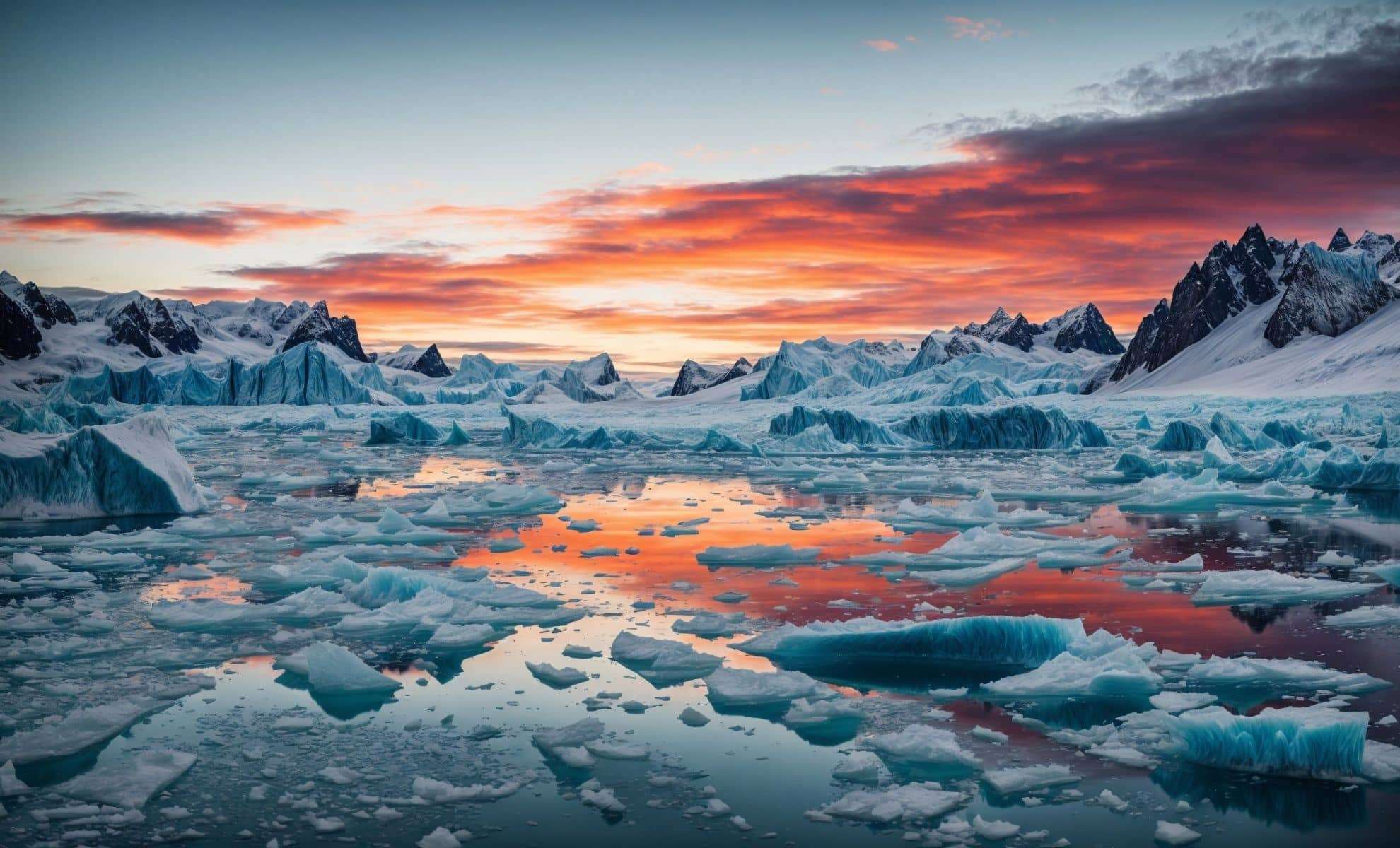
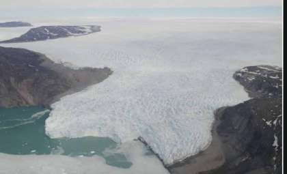
Beneath the thick ice covering East Antarctica, scientists have revealed a network of ancient river plains preserved for millions of years. These prehistoric landscapes provide valuable clues to Earth’s geological history and may improve forecasts of how Antarctica’s ice sheets could respond to future climate change.
Tracing Old River Systems Under East Antarctica
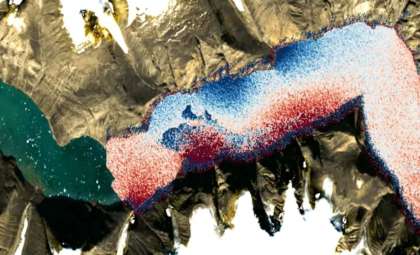
Researchers from Durham University analyzed radar data spanning 3,500 kilometers (2,175 miles) across East Antarctica, from Princess Elizabeth Land to George V Land. Their study uncovered 31 extensive, flat plains buried beneath the East Antarctic Ice Sheet (EAIS), where ice reaches depths up to 2,500 meters (8,200 feet). These gently tilted surfaces, once river valleys and floodplains, formed after East Antarctica drifted away from Australia millions of years ago.
Utilizing data from four large airborne surveys, the team mapped these low-relief plains, which gently slope toward the sea and hover at altitudes between 200 and 450 meters (656 to 1,476 feet) above present-day sea level, accounting for the load of the ice sheet. Their features closely resemble river landscapes along Australia's coast shaped by comparable geological processes.

Preserved Through Millennia
Remarkably, these ancient surfaces have remained largely intact despite over 30 million years of Earth’s dynamic history. Unlike many landforms reshaped by glacial scouring, these plains were protected beneath a stable, frozen ice base. While deep glacial troughs carved by rapidly moving ice dissect these plains, the plains themselves were minimally eroded.
Glaciers such as Totten and Denman carve through the deep troughs as they flow quickly, contrasting sharply with the slow, cold-based ice that blankets the flat plains. This slow ice movement has helped preserve these ancient geological features over millions of years.
Implications for Ice Sheet Behavior and Climate Models
The discovery has important consequences for predicting the dynamics of Antarctica’s ice sheets. Dr. Guy Paxman, a lead investigator, emphasizes that “understanding the topography and geology of these newly identified surfaces will refine our knowledge of ice flow at East Antarctica’s edges.”
These ancient river plains influence present-day ice movements, with slow-moving ice above them contrasting the fast-flowing glaciers in adjacent troughs. They may act as natural anchors stabilizing the ice sheet during warming scenarios, potentially decelerating the retreat of grounding lines and, consequently, the loss of ice into the ocean.
Addressing Gaps in Ice Sheet Projections
Current ice sheet models often lack the resolution to capture these buried features, limiting the accuracy of predictions for East Antarctica’s response to warming. Enhanced drilling initiatives and refined, high-resolution modeling are needed to better incorporate the influence of these ancient fluvial systems on ice dynamics.
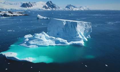
Holding around 90 percent of Antarctica’s ice, the East Antarctic Ice Sheet contains enough frozen water to elevate global sea levels by up to 52 meters (171 feet) if fully melted. Improving understanding of its subglacial landscape is critical for better forecasting future sea-level rise and climate impacts.
- Categories:
- News


0 comments
Sign in to Comment