
A new investigation featured in the Proceedings of the National Academy of Sciences offers vital data on global sea-level changes spanning the last 30 years. Scientists at Hong Kong Polytechnic University employed a novel satellite laser ranging (SLR) approach to directly assess ocean mass variations worldwide from 1993 to 2022. Their comprehensive dataset reveals an average sea-level increase of 90 mm, signaling a pronounced acceleration in ocean rise.
How Melting Ice Contributes to Rising Seas
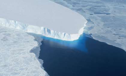
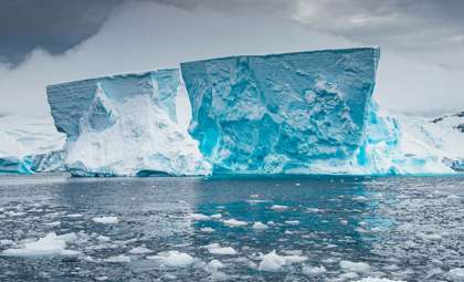
A key factor driving sea levels upward in recent decades has been the escalating loss of land ice, especially from polar ice caps and mountain glaciers. Rising global temperatures have intensified ice melt across Greenland and Antarctica, releasing substantial volumes of freshwater into oceans and elevating sea levels. This phenomenon, termed barystatic sea level rise, has surged in dominance since the mid-2000s, with land ice melt responsible for more than 80% of ocean mass expansion during this timeframe.
Prof. Jianli Chen, the principal investigator, emphasized the significance of land ice depletion by stating, “In recent decades, climate warming has led to accelerated land ice loss, which has played an increasingly dominant role in driving global sea-level rise.” Understanding this trend is essential for projecting future sea-level changes, especially since ongoing temperature increases are likely to boost ice melt rates. Tracking these dynamics is critical for anticipating coastal flooding and safeguarding vulnerable communities globally.

Advancements in Measuring Ocean Mass with Satellite Laser Ranging
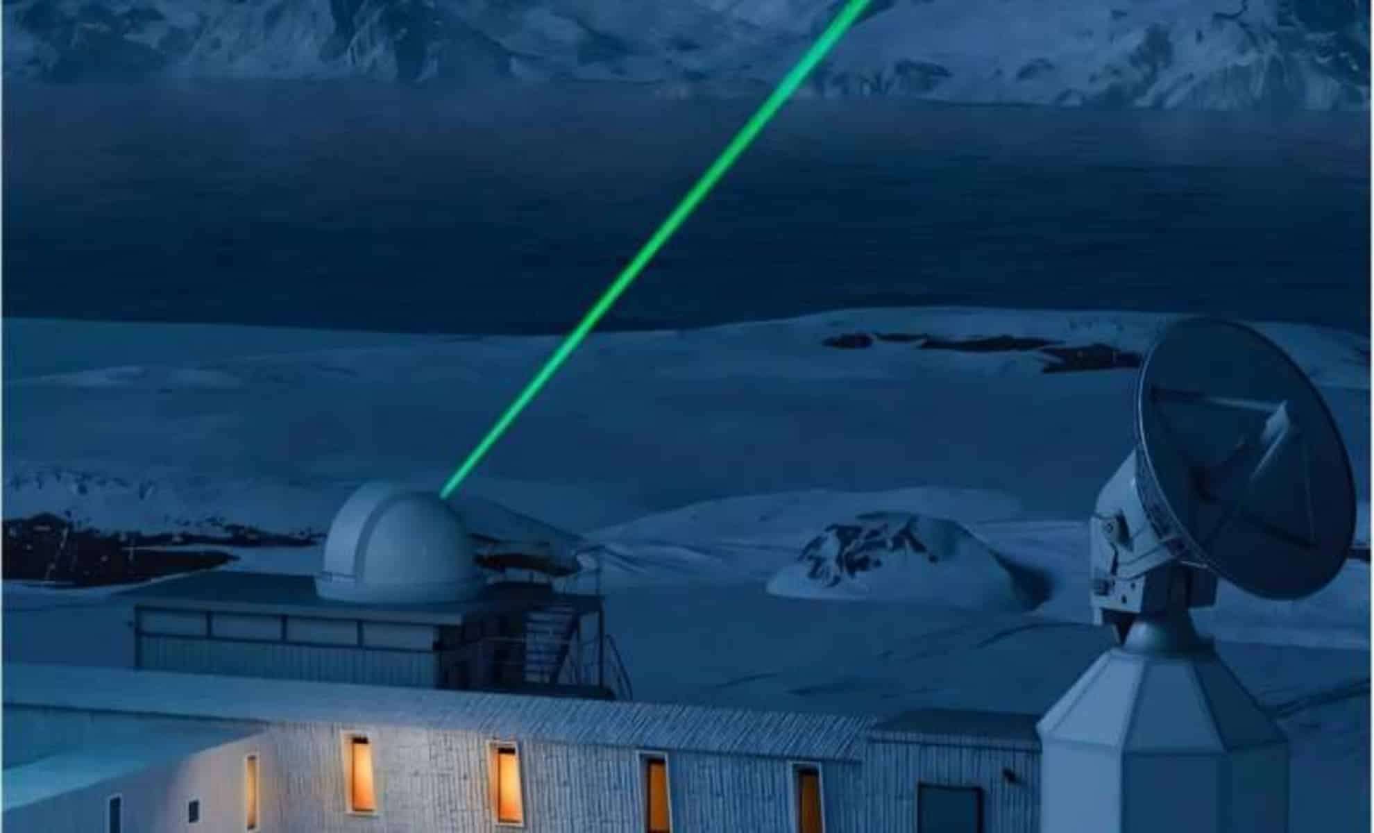
Satellite laser ranging (SLR) utilizes laser pulses to gauge distances between ground stations and orbiting satellites. Although traditionally applied for pinpointing satellite positions, enhancements in SLR technology now enable the detection of gravitational variations linked to shifts in ocean mass. Despite challenges such as limited satellite and station availability and the satellites’ high orbits restricting spatial resolution, this method offers invaluable insights.
To address these obstacles, the team at Hong Kong Polytechnic University devised an improved forward modeling strategy that refines the geographic precision of SLR measurements by incorporating detailed coastline data. This advancement allows for more exact ocean mass calculations. According to Dr. Yufeng Nie, the study’s lead author, “The research showed that the ocean mass changes derived from SLR analysis align well with the total sea level changes observed by satellite altimeters, after accounting for the effect of ocean thermal expansion.” This breakthrough marks a significant stride in oceanographic measurement techniques.
Consequences of Rising Seas for Coastal Communities
Between 1993 and 2022, the global mean sea level (GMSL) climbed by roughly 90 mm. Though this increase may seem modest, its long-term effects are profound, particularly with the recent uptick in rise rate now averaging 3.3 mm annually. Such trends exacerbate risks including coastal flooding, shoreline erosion, and other environmental pressures facing seaside populations.
The chief causes behind the elevation include the warming and expansion of seawater and the growing freshwater influx from melting ice sheets. Since oceans absorb approximately 90% of excess planetary heat caused by climate change, thermal expansion significantly contributes to sea-level rise. Concurrently, the accelerated melting of land ice, especially in Greenland, adds substantial water volume to the seas. Together, these processes are intensifying sea-level increases, heightening climate vulnerability for metropolitan coastal areas worldwide.
- Categories:
- News


0 comments
Sign in to Comment