
A team of geoscientists from Utrecht University has developed an innovative online platform that reveals the historic positions of any location on our planet, stretching back hundreds of millions of years. This advanced geological reconstruction allows users to visualize how continents and tectonic plates have drifted since the era of Pangea.
Published in PLOS One, the study offers an enhanced perspective on Earth's ancient geography. This refined model aids researchers investigating fossil records, climate evolution, biodiversity shifts, and the progression of vanished land fragments.
Because latitude plays a crucial role in determining climate, unraveling the original placement of fossils and rock formations is essential. Many previous paleogeographic models overlooked smaller tectonic plates and fragmented continental regions, which this new tool now incorporates with greater precision.

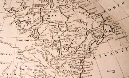
Reconstructed Layout of Earth's Ancient Continents
The website, Paleolatitude.org, lets users enter present-day coordinates to uncover their approximate positions at various geological times. Its timeline spans 320 million years, capturing the assembly and disintegration of Pangea.
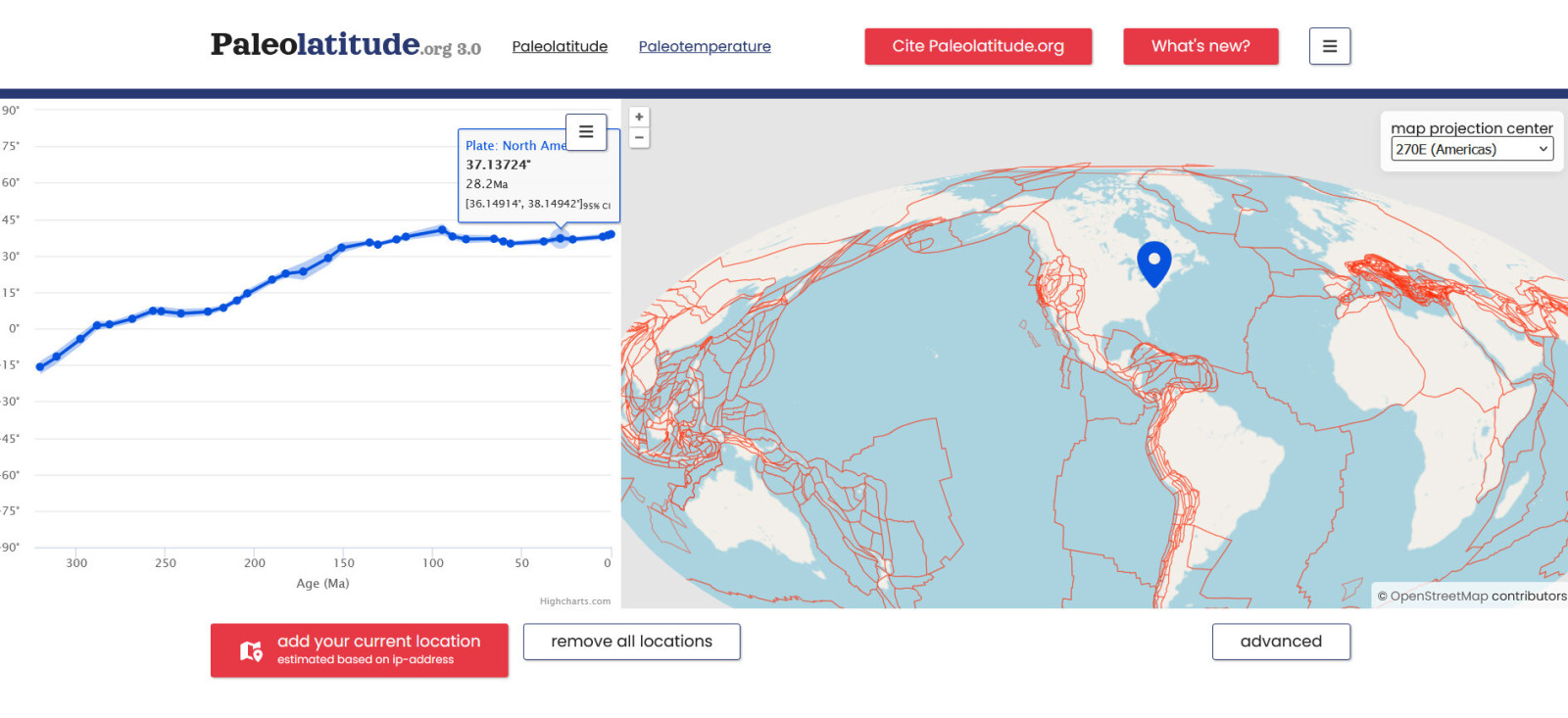
According to the study in PLOS One, the model tracks shifts of small tectonic plates and includes long-lost landmasses that subducted into Earth’s mantle.
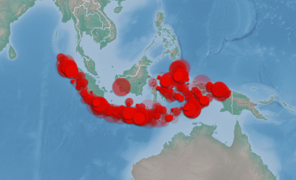
Some examples cited are Greater Adria, the Tethys Himalayas, and Argoland. Remnants of these ancient terrains persist today concealed within mountain belts across the Mediterranean, Himalayas, and Indonesia.
Lead scientist Douwe van Hinsbergen highlighted that this refined model now links these rocks to their original tectonic plates, despite their subsequent burial and deformation.
Magnetic Clues Hidden in Ancient Rocks
To pinpoint ancient continent locations, researchers analyzed magnetic minerals within prehistoric rocks that recorded Earth's magnetic field during formation.Bram Vaes, a co-researcher at the CEREGE institute in France,
“Because the angle formed by Earth’s magnetic field and Earth’s surface changes gradually from the poles towards the equator and is therefore linked to latitude. And many rocks contain magnetic minerals that ‘recorded’ the direction of the magnetic field at that location when the rock was formed. So, using this, we can determine at what latitude such a rock was formed.”
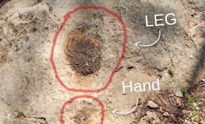
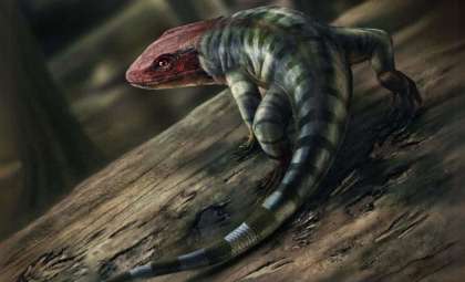
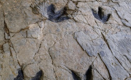
He added that combining magnetic data with dating methods and tectonic plate reconstructions enables tracking of continental shifts over geological time. One case presented involves 245-million-year-old fossils in Winterswijk, the Netherlands, revealing environments similar to today’s Persian Gulf deserts and tropical seas.
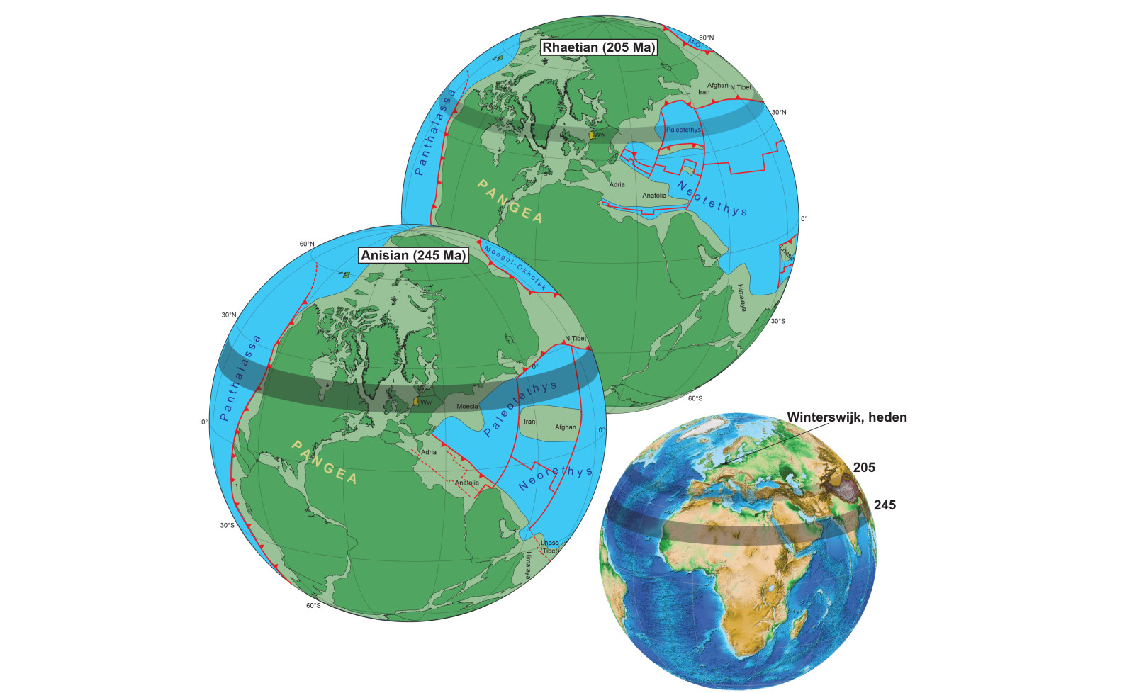
This geographic insight explains the climate characteristics, as previous studies by the team showed the Netherlands once shared latitudes akin to modern Arabia.
Advancing Biodiversity and Extinction Research
The researchers foresee their reconstruction as a powerful asset for exploring biodiversity patterns and mass extinction events in Earth's history. Mountain belts formed through tectonic activity harbor numerous fossils, and the detailed model refines their placement within past climate zones. Utrecht paleontologist Emilia Jarochowska noted:
“This allows us, for example, to show what happened to global biodiversity during and after mass extinctions in the past, for instance due to Earth rapidly warming or cooling,” she explained in the university statement.

Planned future updates aim to extend the timeline further back, potentially covering the Cambrian explosion approximately 550 million years ago.
- Categories:
- Science


0 comments
Sign in to Comment