
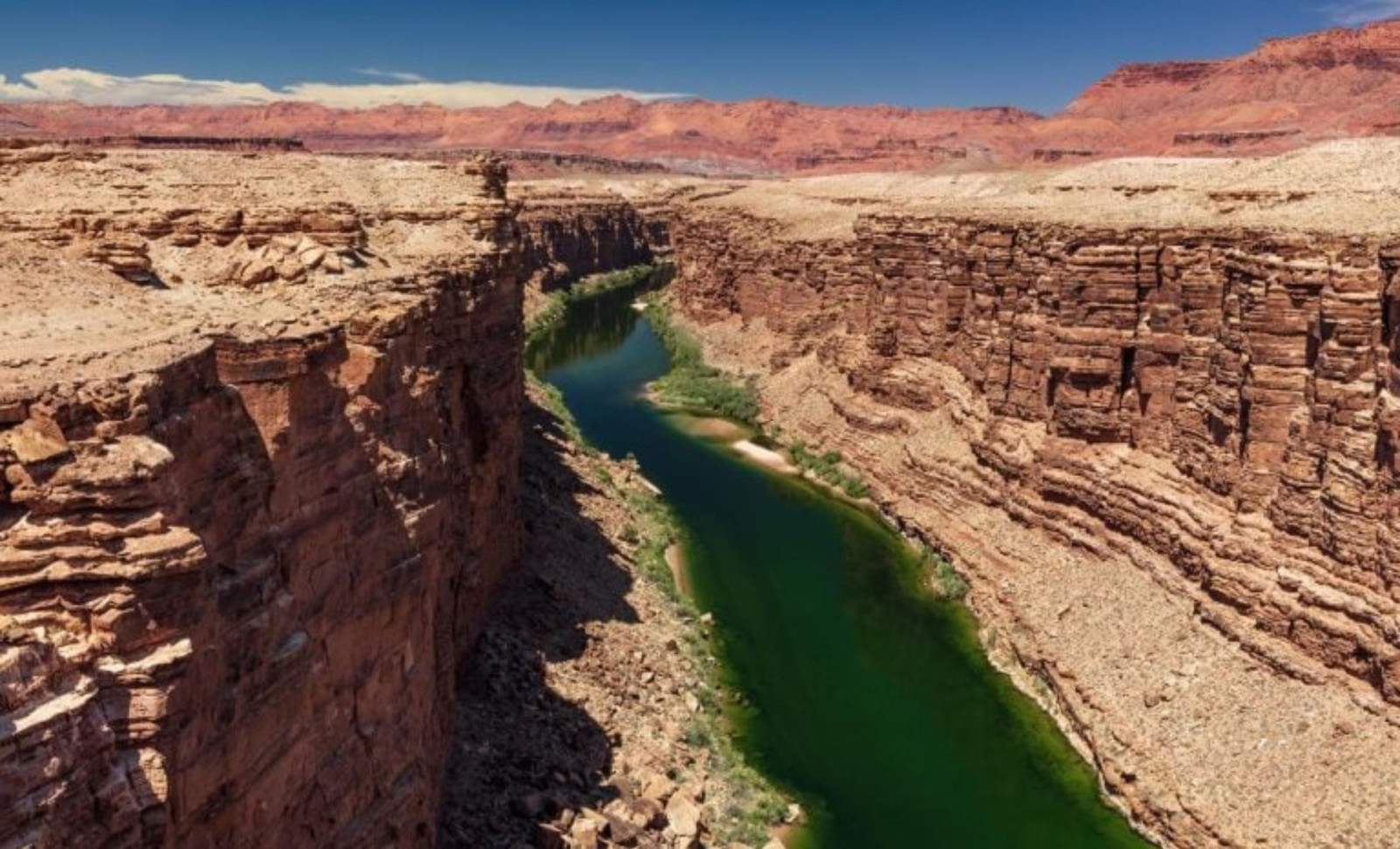
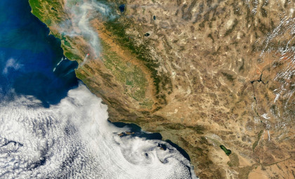
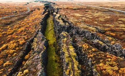
Geologists have long been intrigued by how the Green River, the largest tributary feeding into the Colorado River, managed to carve a path straight through the Uinta Mountains in Utah. A fresh investigation featured in the Journal of Geophysical Research: Earth Surface sheds light on this enduring geological enigma.
The river’s trail cuts directly through the Uinta Mountains, a range that is significantly older than the river’s current channel. While the Uinta Mountains date back approximately 50 million years, the Green River’s existing course formed only about eight million years ago. Despite being younger, the river chose to slice through these mountains rather than flow around them, a conundrum that has puzzled researchers for decades.
Understanding Lithospheric Dripping
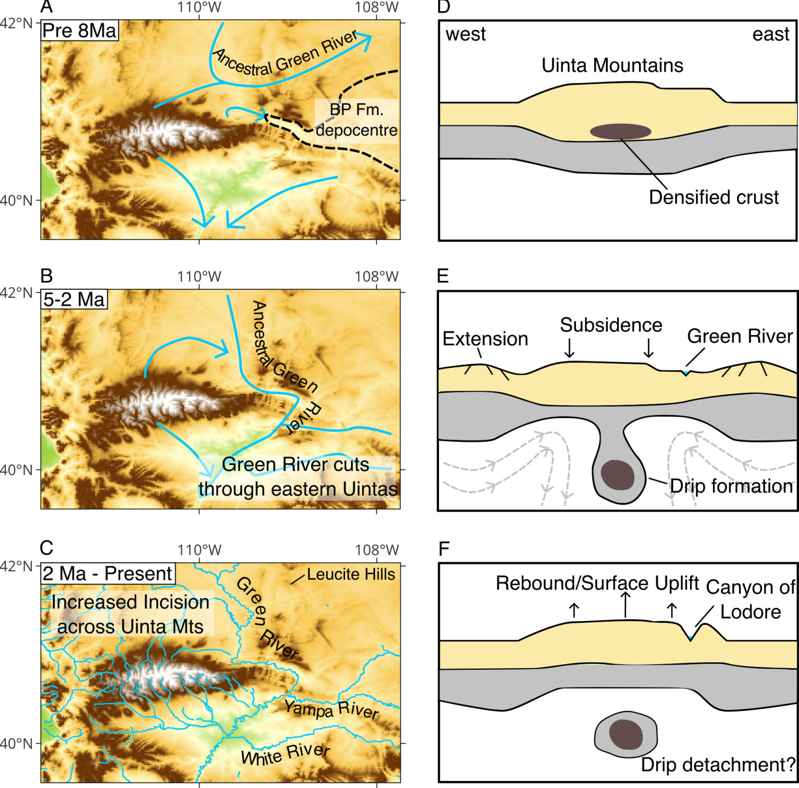
The study proposes that "lithospheric dripping" offers a compelling explanation for this phenomenon. This process involves dense, mineral-rich matter accumulating beneath the Earth’s crust and gradually sinking into the mantle below. As this dense material descends, it drags the overlying crust downward, causing a temporary drop in the land’s surface elevation.

This downward movement would have created a lowered terrain that enabled the Green River to cut through the mountains during this interval. According to Dr. Adam Smith of the University of Glasgow, who led the research:
“We think that we’ve gathered enough evidence to show that lithospheric drip, which is still a relatively new concept in geology, is responsible for pulling the land down enough to enable the rivers to link and merge.”
The study asserts that this geological process facilitated the river’s incision, eventually connecting it seamlessly into the Colorado River network.
Seismic Data Backs the Hypothesis
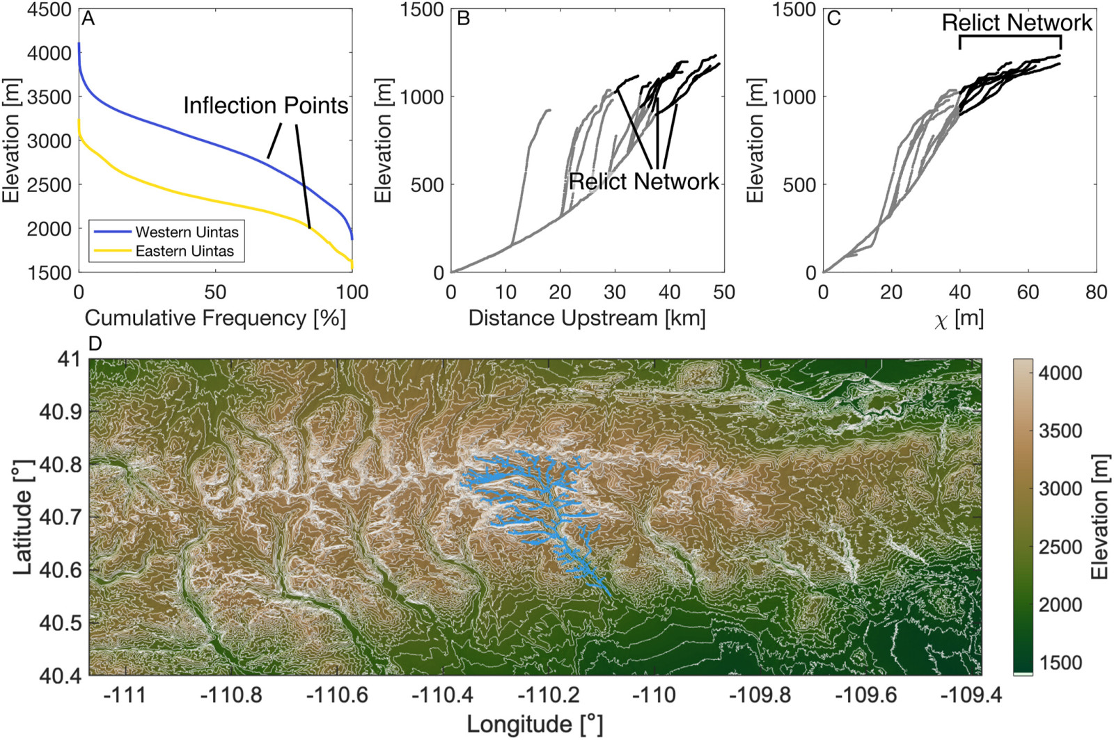
Researchers employed seismic imaging combined with computer simulations to test this notion. Much like medical CT scans, seismic imaging interprets how seismic waves generated by earthquakes propagate through Earth's layers. The team detected a cold, circular anomaly located approximately 200 kilometers beneath the Uinta Mountains, which is interpreted as a detached lithospheric drip. This anomaly spans between 50 and 100 kilometers in diameter.
By analyzing existing seismic datasets, the scientists approximated the depth and descent rate of this mass. Their calculations suggest the lithospheric drip separated roughly two to five million years ago — coinciding precisely with when the Green River carved its mountain passage. Further modeling revealed a typical "bullseye" uplift pattern in the surrounding crust, characteristic of lithospheric dripping activity.
Decoding the Green River's Mountain Course
Past theories speculated that the river predated the mountain formation or that erosional capture from the south shaped its channel. The new evidence notably refutes these claims and supports lithospheric dripping as the driving mechanism behind the river’s unusual course. Dr. Smith emphasized:
“The evidence we’ve collected strongly contradicts the idea that the river predated the mountains, or that sediment deposits might have built up enough for the river to overtop the range, or that erosion from the south of the mountains captured the Green River.”
This research reinforces that the Green River’s path is the result of deep-seated, gradual tectonic activity sculpting the landscape over millions of years, shaping the environment observable today.
“We hope that this paper will help resolve a longstanding debate about one of North America’s most significant river systems, and help build the growing body of evidence that lithospheric drips may be the hidden answer to more tectonic mysteries than we’ve previously realized,” Dr. Smith concluded.
- Categories:
- Science


0 comments
Sign in to Comment