
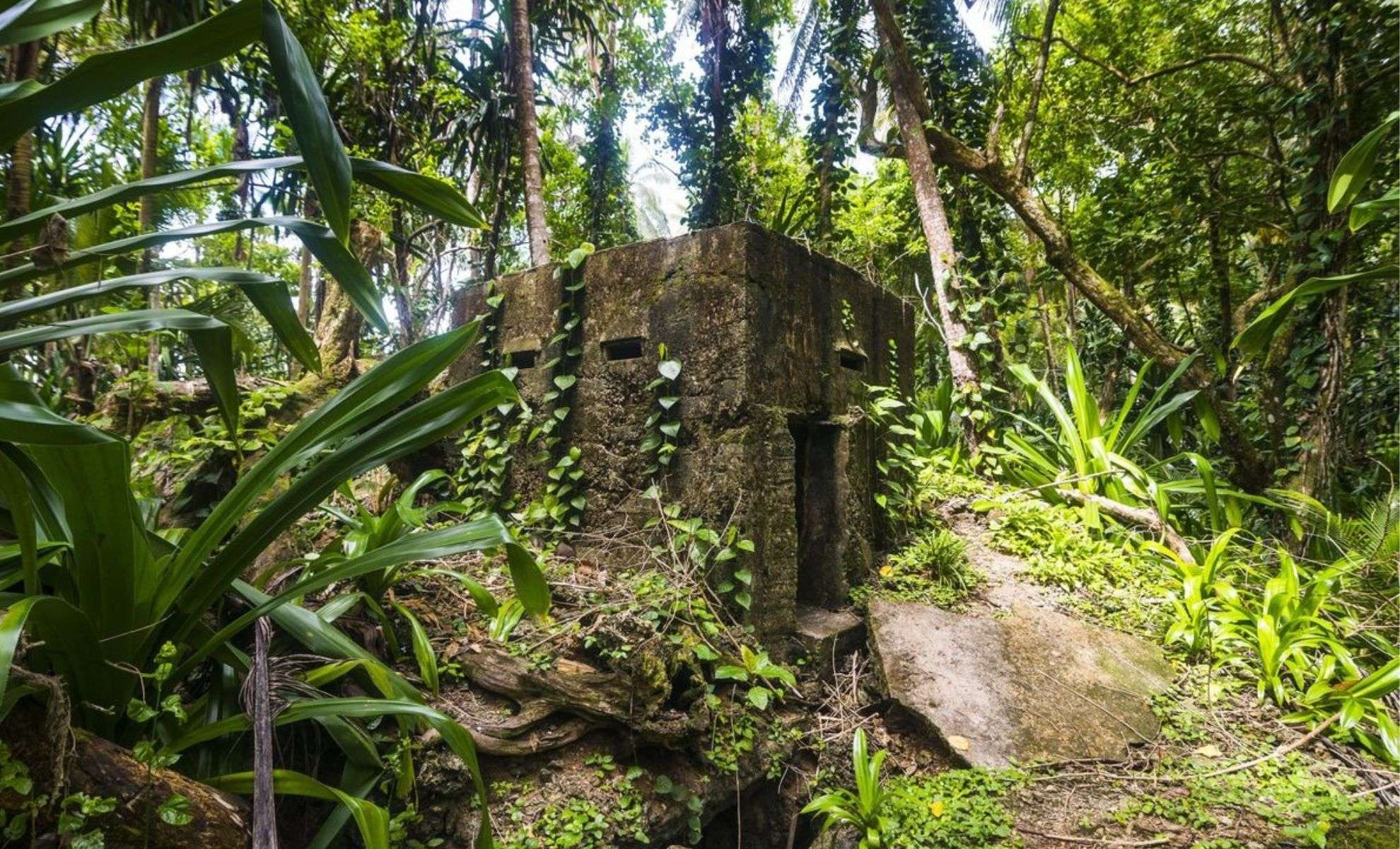
Archaeologists have made a stunning find in the dense forests of Neamț County, Romania: the remnants of a fortress estimated to be around 5,000 years old. This revelation was achieved using cutting-edge LiDAR technology, which allowed scientists to visualize the structure beneath thick foliage. According to Popularmechanics, the fortress likely dates back to the era bridging the Neolithic and Bronze Ages.
LiDAR Sheds Light on an Ancient Defensive Stronghold
LiDAR, or Light Detection and Ranging, uses laser pulses to generate detailed topographic maps, proving invaluable in exposing the fortress hidden beneath the forest canopy.
This technology provided a non-destructive way to uncover the site’s layout from above. Archaeologist Vasile Diaconu, involved in the research, noted that LiDAR scans revealed features that would have otherwise remained invisible due to the thick vegetation.

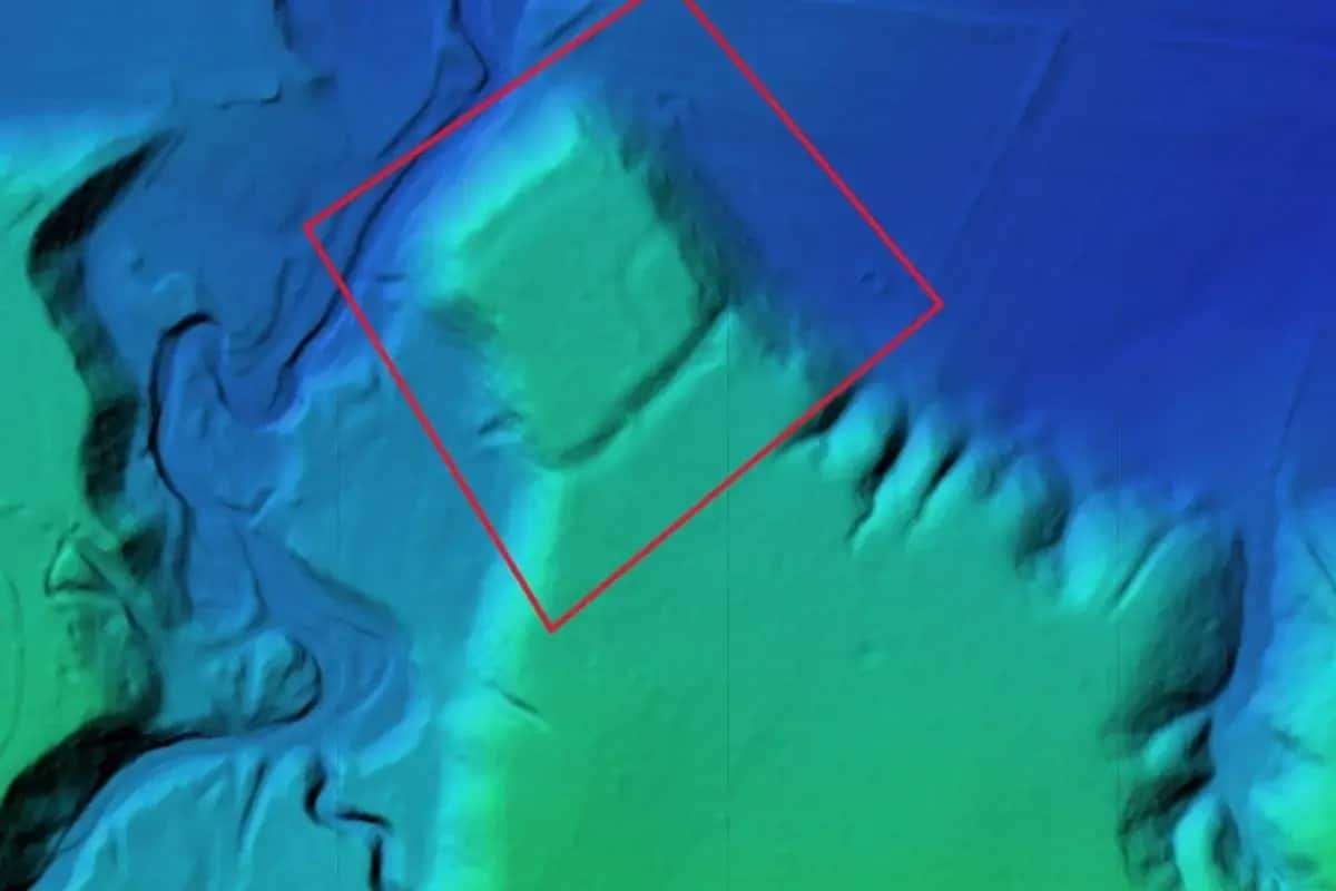
Utilizing drones equipped with LiDAR, the experts created an aerial representation of the fortress, uncovering sophisticated defensive components such as expansive ditches and raised earthen embankments. These attributes suggest the site was of considerable strategic importance in its time.
Defense and Location: Insights from LiDAR Data
The LiDAR imagery indicates the fortress was situated on elevated terrain, providing commanding views over the surrounding land — an advantageous position for early warning against potential invaders.
The fortifications included extensive ditches, some stretching for hundreds of meters, reflecting substantial labor investment to fortify the area. Together with the earthen ramparts, these structures enhanced the site’s defense mechanisms.
Vasile Diaconu highlighted the complexity of the site and emphasized the value of integrating modern tools such as LiDAR to unlock hidden aspects of ancient locations. Without these technologies, much of this knowledge would remain inaccessible and undiscovered.
Technological Advances Revolutionize Archaeological Exploration
This Romanian discovery underscores the transformative impact of technology in archaeological research. LiDAR is especially advantageous in thoroughly mapping difficult terrain without disturbing fragile ruins.
By capturing detailed aerial data, scientists can now reveal previously concealed cities, strongholds, and entire landscapes. According to Diaconu, such advancements are indispensable for decoding the intricacies of ancient human settlements.
“Only by using modern technologies will we be able to better understand the complexities of archaeological sites,” he stated.
These innovative methods allow for the exploration and documentation of sites that were once beyond reach, opening new windows into historical civilizations.
Mentorship Fuels Collaborative Archaeological Success
The project also features a meaningful personal connection: it resulted from a partnership between Vasile Diaconu and his former protégé, Vlad Dulgheriu, who heads Geocad Services, the firm that enabled the integration of LiDAR technology in this investigation.
Dulgheriu’s enthusiasm for his mentor’s work fostered their collaboration, which ultimately brought this ancient fortress into the spotlight. Diaconu expressed pride in his student's accomplishments, stating:
“I’m honestly glad my former student has built his own road beautifully.”
As technological capabilities grow, more hidden archaeological treasures like this fortress are expected to be revealed. LiDAR is proving to be a game-changer, offering unprecedented views of long-lost historical sites once concealed by nature.
- Categories:
- Science


0 comments
Sign in to Comment