
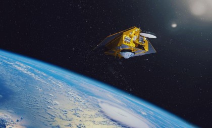
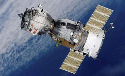
Only two days following its launch, Europe's latest Earth observation satellite, Sentinel-1D, sent back its initial radar images capturing vital locations from the Antarctic Peninsula through Tierra del Fuego to the northern German city of Bremen. ESA representatives have hailed the satellite’s early performance as groundbreaking, signifying an advance in swift satellite-based environmental monitoring.
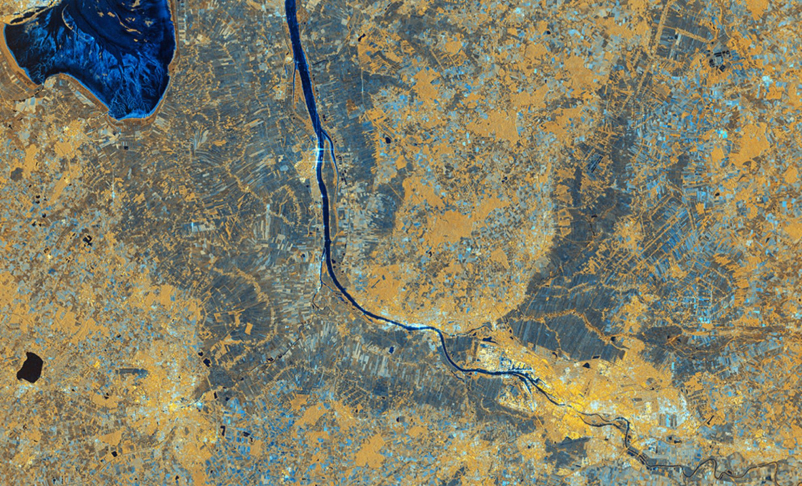
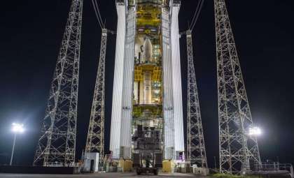
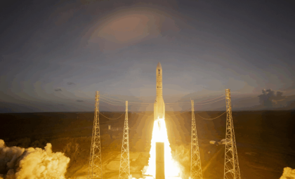
Launching on November 4, 2025, atop an Ariane 6 rocket from French Guiana, the satellite began acquiring its first Antarctic images by late November 6 and followed with European coverage the next day. These early data sets were unveiled at the European Space Agency’s Ministerial Council meeting held in Bremen on November 26, underscoring both the technological robustness and environmental importance of the Sentinel-1D mission.
Lightning-Fast Transition from Launch to Imagery
Fitted with a 12-meter synthetic aperture radar (SAR), Sentinel-1D offers high-resolution imaging capabilities regardless of weather conditions, crucial for the often cloud-covered polar environments. According to ESA's report, the fast delivery of these images marks a new milestone for ESA radar missions in terms of turnaround speed.

The Copernicus Sentinel-1D mission reached full imaging functionality just 50 hours after launch, an achievement ESA experts deem "exceptional." Nuno Miranda, Sentinel-1 Mission Manager, emphasized the unprecedented clarity of these initial radar observations for a newly deployed satellite.
“Sentinel-1D achieved this in an even faster time, setting what we believe is a new record for space radar. This remarkable performance reflects the dedication and exceptional preparation of all the teams involved.”
Setting a New Standard in Radar Data Delivery
Following orbital deployment, critical systems like SAR and the Automatic Identification System (AIS) for maritime vessel tracking were swiftly enabled. The initial radar captures targeted the Antarctic Peninsula, Thwaites Glacier, and Tierra del Fuego on November 6, with Bremen being imaged six hours later. These images were transmitted to the Matera ground station in Italy, integrated within the Copernicus Ground Segment.
ESA highlighted that while its earlier radar satellite, Sentinel-1B, required a two-hour delay post-activation to send data, Sentinel-1D surpassed this, providing imagery faster throughout its startup phase. ESA Project Manager Ramón Torres described the release of these images as an "incredible emotional milestone."
Antarctic Observations Highlight Climate Sensitivities
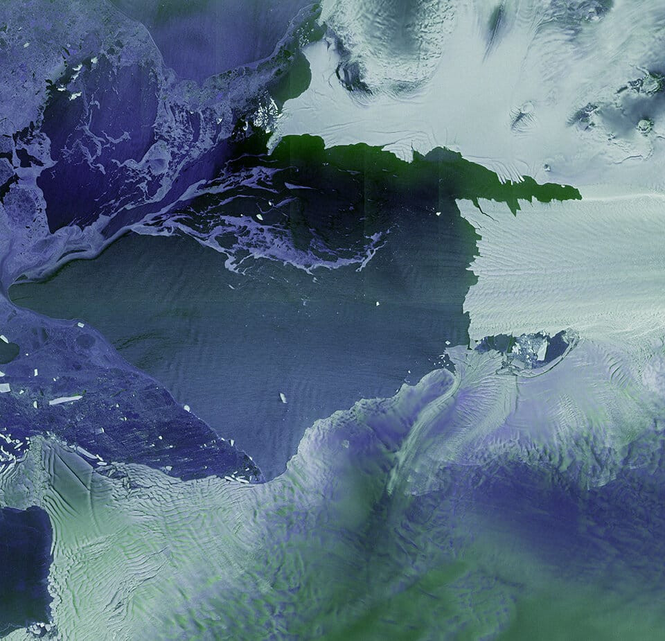
The inaugural images from Sentinel-1D offer expansive radar views of the Antarctic Peninsula, a region recognized for its vulnerability to climate impacts. The monochromatic radar scans distinctly outline the coastline and ice-covered landscape. ESA notes that although glaciers here are smaller than those in East Antarctica, they experience faster melting rates linked to localized warming trends.
Sentinel-1D also captured multi-polarization radar imagery of two major glaciers—Thwaites and Pine Island—key areas of concern in West Antarctica due to their instability. The Thwaites Glacier in particular is under close scrutiny for its rapid retreat and implications for global sea levels.
The radar’s polarization modes enabled differentiation between glacier ice, sea ice, and open ocean, with vivid contrasts using shades of white, violet, and purple.
Enhancing Maritime Surveillance in Remote Waters
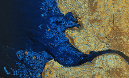
Sentinel-1D extended its operational capabilities to maritime monitoring through its integrated AIS, successfully identifying vessels in waters near Antarctica. Capable of functioning through cloud cover and polar night, radar detection enhances Copernicus’ abilities to track shipping and detect pollution across otherwise inaccessible maritime zones.
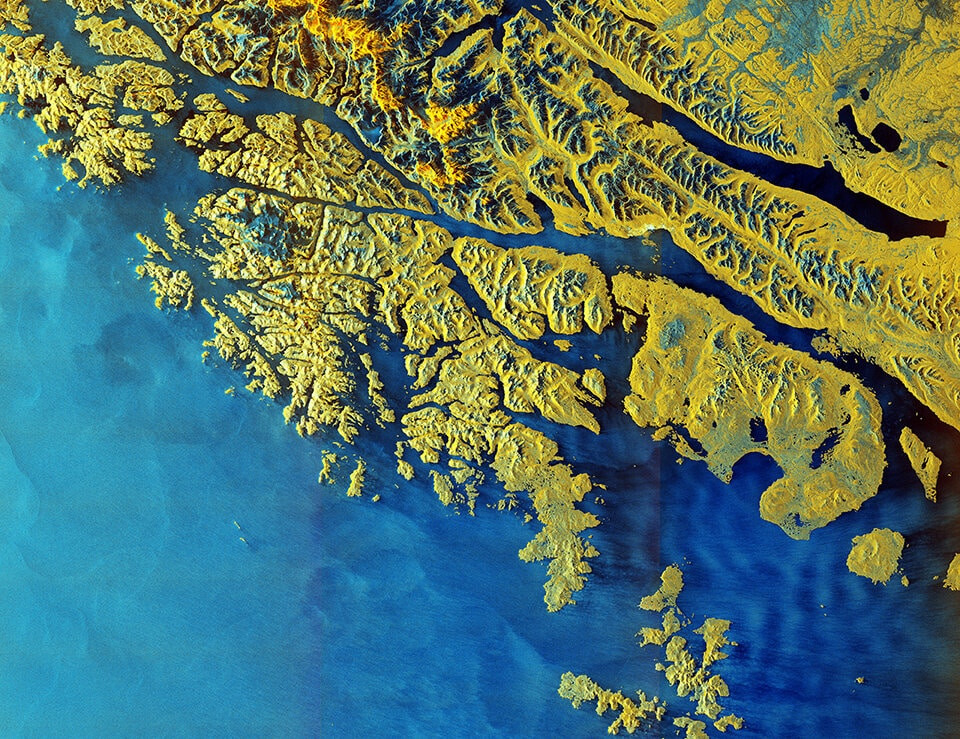
The satellite also captured a detailed radar image of Tierra del Fuego, showcasing snowy mountain peaks in blue against the yellow hues of lower terrain. This striking contrast results from advanced polarization techniques, offering valuable data for both scientific study and navigation. ESA’s Simonetta Cheli remarked that these preliminary outputs powerfully demonstrate the capabilities of Europe’s newest missions.
“It really places the data we receive from our innovative missions in the spotlight – it is data that we as a society rely upon as we continue to discuss and take action on climate change, and also data that we need in applications for understanding and studying our planet”.
- Categories:
- Space


0 comments
Sign in to Comment