
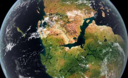
In prehistoric times, the region now known as Southeast Asia was not fragmented into islands but formed one vast, fertile landmass abundant with rivers, stretching from the Asian mainland to Indonesia’s principal islands. This submerged land, called Sundaland, significantly influenced early human dispersal, biodiversity patterns, and the cultural landscape we recognize today.
The disappearance of this land was gradual rather than catastrophic. Following the last Ice Age, melting glaciers caused sea levels to steadily rise, inundating coastal zones over thousands of years. Human settlements shifted inland, ecosystems transformed, and once-familiar terrain slipped beneath the sea.
Recent scientific breakthroughs in paleogeography, climate science, and genetics now enable researchers to piece together the extent of Sundaland with unprecedented detail. Far from being a mere land bridge, it emerges as a vital stage of ecological and human evolution that reshapes long-standing views of Southeast Asia’s ancient past.

An Ancient Land Underwater
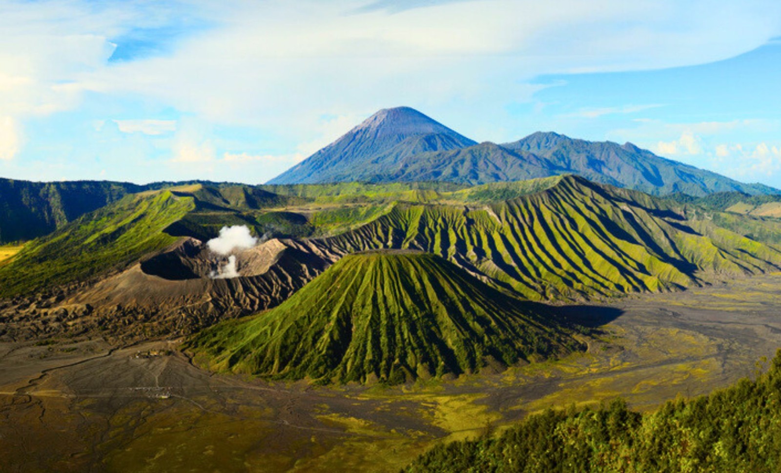
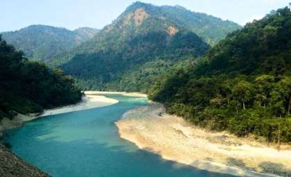
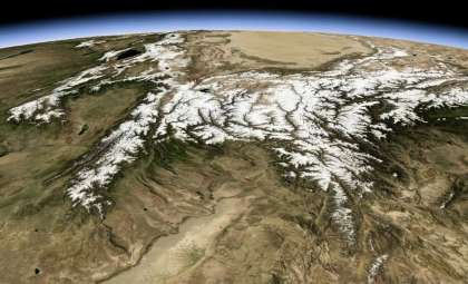
During the last Ice Age, Sundaland was among the most extensive land areas worldwide. Extensive ice coverage lowered sea levels by about 120 meters, exposing the Sunda Shelf and joining the Asian mainland with modern Sumatra, Java, Borneo, and Bali, forming one continuous tropical continent, as detailed in this WorldAtlas geographic overview.
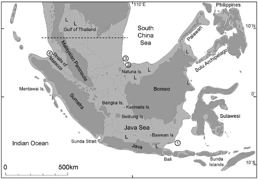
Support for this comes from marine geology and sea floor topography, which reveal ancient riverbeds, floodplains, and deltas beneath the Java Sea—terrain features that only form on dry land. Paleogeographic visuals on ResearchGate clearly illustrate the land exposed during the Last Glacial Maximum.
At its height, this land spanned an area similar to present-day India. Large river systems funneled water into the South China Sea, supporting dense rainforests and diverse fauna. This landscape explains the shared distribution of many Asian species across various islands today.
Sundaland’s eastern edge was sharply marked by deep sea trenches known as the Wallace Line. These stretches of deep water remained submerged even during glaciations, acting as a natural barrier that created distinct divisions between Asian and Australasian wildlife.
Tracing Early Human Journeys Across Sundaland
The concept of Sundaland transforms the understanding of early human migration in the region. Previously, the arrival of ancient humans on islands like Java and Borneo was often attributed to primitive boat travel. However, the dry Sunda Shelf presents a clearer route for migration on foot.
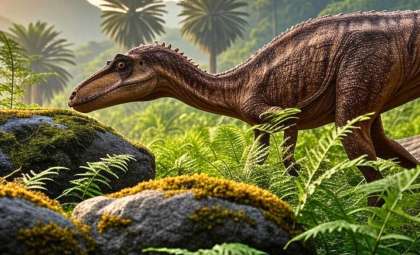
Fossils and archaeological discoveries confirm that Homo erectus inhabited Java over a million years ago. Stone implements and evidence of controlled fire suggest permanent settlements. With Sundaland exposed, these populations navigated forests and plains without needing to cross open water.
Subsequent human species migrated similarly. Rising sea levels isolated populations, leading to the emergence of species like Homo floresiensis from Flores Island, whose small stature reflects genetic isolation. Genomic studies indicate Denisovan ancestry in populations across Southeast Asia and Melanesia, pointing to repeated interactions among groups living in or near Sundaland.
A recent genetic investigation published in Nature Communications Earth & Environment associates post-glacial sea-level rises with population splits and shifts in migration patterns. This demonstrates how environmental pressures, rather than abrupt cultural shifts, guided human movements in the area.
Modern humans had already settled the region well before Sundaland’s final submersion. Between approximately 18,000 and 5,000 years ago, rising waters reduced available land, closed migration pathways, and isolated inland communities, turning them into island dwellers.
A Lost Hotspot of Biodiversity
Sundaland was historically one of Earth’s richest habitats. Its equatorial climate nurtured vast rainforests dominated by dipterocarp species, along with mangroves, peat swamps, seasonally dry grasslands, and woodland areas.
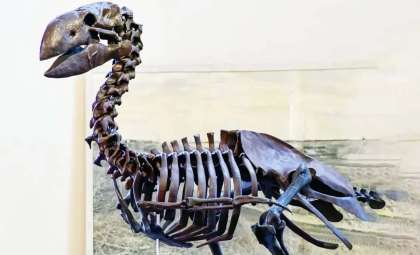
Huge mammals once roamed these lands, including stegodonts—elephant relatives now extinct—as well as rhinoceroses, tapirs, wild cattle, and water buffalo. Predatory animals included tigers, clouded leopards, wild dogs, sun bears, and crocodiles. Orangutans enjoyed a broader range than seen today.
As rising seas fragmented Sundaland, habitats split into islands, forcing species to either adapt to isolated conditions or face extinction. This process laid the foundation for Southeast Asia’s current patterns of species diversity and endemism.
Historical analyses like Sundaland: Tracing the Cradle of Civilizations examine how this ecological wealth intertwined with early human culture and the landscape’s transformation over time.
Insights from a Lost World Beneath the Sea
Sundaland provides a unique long-term example of how gradual sea-level rise can alter human life. Over roughly 13,000 years, seas advanced by 120 meters—slow enough for communities to adapt, but inevitable in reshaping coastlines.
In comparison, current climate models predict drastic coastal changes over mere centuries, highlighting a stark difference in the rate of change rather than its magnitude.
Genetic and archaeological records reveal both human resilience and loss: populations adjusted and relocated, yet many cultural landscapes vanished and ecosystems declined as usable land diminished.
Public-focused stories, including coverage by New Asia Currents, propose that Sundaland’s submergence might underpin ancient flood myths and regional oral histories.
- Categories:
- Science


0 comments
Sign in to Comment