
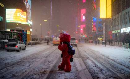
An intense winter storm is affecting large portions of the United States, bringing together a rare combination of frigid arctic air, significant snowfall, and flooding threats that are impacting close to 60 million residents. This extensive weather event spans from the northern Plains through the Southeast, the Midwest, and the Pacific Northwest, straining emergency systems and disrupting travel and infrastructure shortly before the holiday season.
In the Upper Midwest, wind chill values are dropping to around -35°F, with some cities experiencing record-breaking low temperatures reaching well into the Deep South in places like Mobile, Alabama, and Savannah, Georgia. At the same time, a clipper storm is delivering multiple inches of snow across a belt extending from Iowa to New York, leading to hazardous roads, flight delays, and difficult driving.
Meanwhile, the western U.S. continues to battle flooding in areas of Washington state, where swollen rivers persist and additional rainfall is expected. Across the nation, conditions remain volatile, rapidly changing, and in many regions, hazardous.

Frigid Temperatures Spread to Uncommon Areas
This arctic surge is extending beyond its usual northern limits. Saturday night saw temperatures plummeting to -25°F in the northern Plains, with wind chills making it feel as cold as -35°F in states like Minnesota, Wisconsin, and the Dakotas.
This cold front is pushing further into the Northeast and Deep South, causing sharp temperature declines in cities such as New Orleans, Jacksonville, Charleston, and Atlanta. Overnight lows are forecast to dip into the teens and low 20s across many southern metropolitan areas, with wind chills reducing perceived temperatures to the single digits.
According to National Weather Service forecasts, some locations across the central and southeastern United States could experience record-setting cold. This icy pattern is expected to persist, with daytime highs remaining 10 to 35 degrees below average for the start of the week.
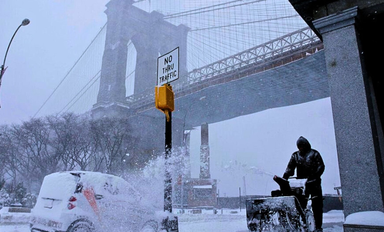
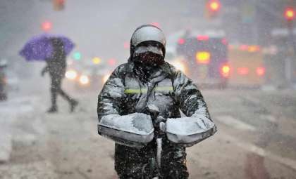
Snowstorm Causes Travel Chaos and Alerts in the Midwest
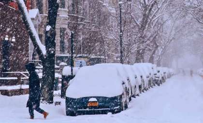
A rapidly advancing clipper system is dropping widespread snow across the Midwest, the Ohio Valley, and the Mid-Atlantic regions. As of Saturday, heavy snowfall was reported in Iowa, Illinois, and Indiana, moving eastward to areas such as Pennsylvania, New Jersey, and New York.
Footage shared on @ALionEye showed snow-laden streets and low visibility in Champaign, Illinois. Similarly, @ICHawkeye posted images highlighting the heavy snow in Iowa City, confirming harsh ground conditions.
Snowfall amounts are expected as follows:
- 2 to 5 inches (12.7 cm) across central Iowa, Illinois, and the Appalachian Mountains
- 1 to 4 inches (10.16 cm) along the I-95 corridor, affecting major cities like Washington, D.C., Philadelphia, New York City, and Boston
Heavier localized snow bands may form over New Jersey and Long Island, further complicating morning commutes and flight schedules.
Additionally, lake-effect snow warnings remain in effect through Monday for the Great Lakes region. Areas near Lake Erie and Lake Ontario could receive up to 14 inches (35.56 cm) of snow, combined with wind gusts reaching 35 mph (56.33 km/h), causing poor visibility and challenging road conditions.
Flooding Continues in the Northwest Ahead of Incoming Storm
In the Pacific Northwest, Western Washington is still experiencing major river flooding after persistent rainfall over several days. Though there was a short respite from precipitation over the weekend, rivers like the Skokomish remain above flood stage, and saturated hillsides increase the risk of landslides.
This break in weather will soon end as a new Pacific storm system is forecast to arrive late Monday into Tuesday, bringing heavy rain, strong winds, and renewed flood concerns.
The upcoming storm threatens to worsen conditions especially around Puget Sound and other vulnerable low-lying communities still under flood warnings.
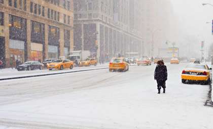
Winter Weather Strikes as Travel and Energy Use Peak
The outbreak is occurring during a critical period of elevated holiday travel, complicating efforts to keep transportation and public services running smoothly.
Airports across the Midwest and East Coast are preparing for potential delays and cancellations, while departments of transportation in various states have deployed snow removal and de-icing teams alongside emergency crews to manage the impact.
Energy consumption for heating is surging due to the cold, prompting several utility providers to encourage conservation to prevent power grid overloads amid the frigid weather.
- Categories:
- News


0 comments
Sign in to Comment