
NASA’s Curiosity rover is progressively revealing a complex geological narrative etched into the slopes of Mount Sharp on Mars, where alternating rock layers point to ancient shifts in environmental conditions. As detailed in NASA’s Curiosity blog covering Sols 4920 to 4926, the rover has been navigating through markedly different textures, shades, and rock structures while ascending the mountain. These changes are more than mere surface variations; they represent preserved clues to distinct geological epochs embedded in Martian terrain.
New Insights Into Mars’ Ever-Changing Terrain
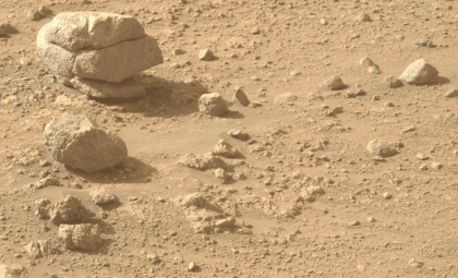
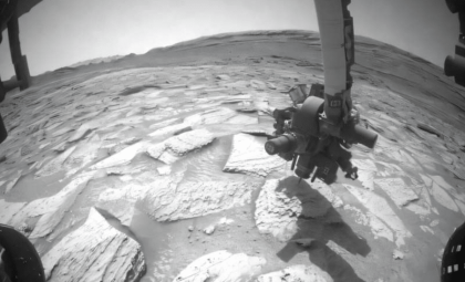
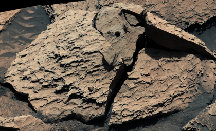
NASA reveals that Curiosity’s latest journey took it across a rugged, dark-hued bedrock region where the surface texture prevented direct brushing. Instead, teamwork between the rover’s contact science tools—APXS and MAHLI—allowed investigation of samples such as “Salto La Cascada,” “Puerto de Rosas,” and “Santa Gracia.” These tools provided key insights into elemental makeup and fine-grained surface features without disturbing the terrain. Alongside these efforts, ChemCam used laser-induced breakdown spectroscopy on multiple targets including nearby layered rocks and fixed bedrock, contributing to understanding compositional variations across the bands.
This blend of imagery, chemical data, and remote sensing crafts a detailed profile, highlighting stark contrasts between rock layers. Although from orbit the landscape may appear uniform, rover-level study reveals a complex story. The band transitions suggest environmental shifts that influenced how sediments accumulated over Martian geological time.

Mapping Mount Sharp’s Distinctive Stratigraphy
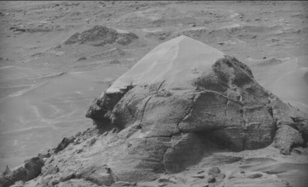
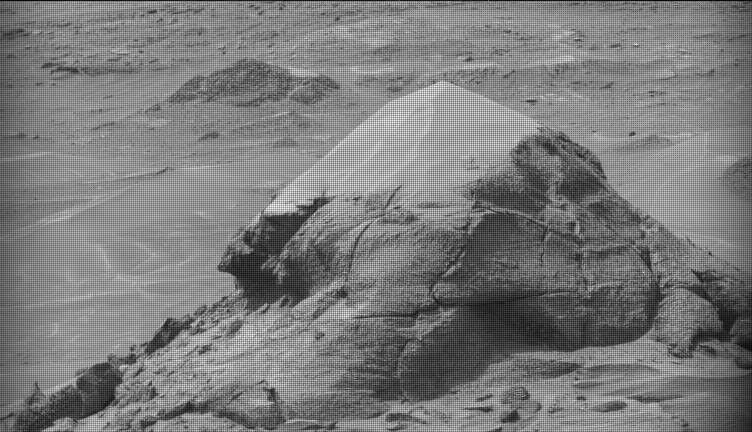
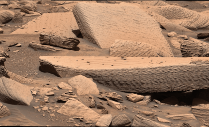
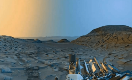
While moving forward, Curiosity encountered a collection of distinct geological features including buttes, depressions, and layered outcrops with alternating dark and bright rock tones. Landmarks such as “Valle Grande,” “Kimsa Chata,” and “Miraflores” were documented through detailed Mastcam mosaics revealing intricate layering and textures. One feature displayed jagged dark rocks alongside dust patterns, signaling ongoing surface changes driven by wind and other processes.
The rover also acquired long-range images of remote formations such as “Mishe Mokwa,” offering a wider perspective on the banded stratigraphy. These observations help differentiate between local layering phenomena and broader regional rock sequences. This landscape remains dynamic, shaped both by ancient depositional forces and present-day erosion affecting the Martian surface. Each traverse enhances the grasp of how Mount Sharp’s geological layers formed and evolved over eons.
Overcoming Communication Lag with Automated Operations
During this phase, a delay in data transmission temporarily hampered the team’s ability to pick new science targets for a Curiosity drive. Without fresh images, the rover had to operate without detailed Earth commands in that planning window. NASA engineers responded by leaning on autonomous functions and pre-set instructions that didn’t rely on immediate input from mission control. As a result, the rover carried out environmental observations including a 360-degree panoramic Mastcam mosaic, along with atmospheric and surface measurements using APXS and Navcam instruments.
Moreover, the automated AEGIS system enabled ChemCam to continue its laser-based spectroscopy targeting independently. This flexible approach ensures ongoing scientific output even when communication schedules face disruption. The scenario exemplifies the balance Mars missions maintain between precise command-driven science and rover autonomy within a remote and unpredictable environment.
Ahead: Exploring New Layers Reflecting Mars’ Ancient Past
Once communication resumed, mission planners geared up to study a smoother, lighter-colored band of rocks identified along Curiosity’s route. This upcoming geological section is expected to contrast sharply with the previously explored rugged, darker terrain, potentially indicating different sediment origins or depositional settings. Curiosity’s continuous climb offers a cross-sectional journey through Mars’ geological history, with each stratum shedding light on former climate conditions.
Researchers hope these layered transitions will improve models of how water once influenced Gale Crater’s interior development. As Curiosity presses onward, these rock strata form a natural laboratory for analyzing planetary evolution on a grand scale. The mission steadily crafts a detailed stratigraphic map linking surface features with long-term processes shaping the Red Planet.
- Categories:
- Nasa


0 comments
Sign in to Comment