
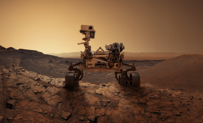
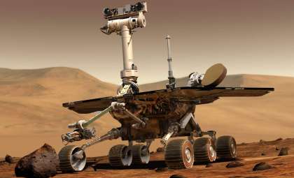
After a carefully executed maneuver, NASA’s Curiosity rover has arrived at what mission experts call one of the mission's most secure and stable sites to date. As detailed in a recent NASA update, this prime spot is enabling scientists to conduct in-depth studies of ancient Martian rocks and surrounding geological features that may provide vital information about Mars’ prehistoric environment.
A Secure Position Opens Doors for Comprehensive Research
Navigating a challenging landscape marked by loose rocks, steep slopes, and irregular soil, finding a steady location is critical for preserving the rover’s operational capabilities. The stable ground at the current stop allows full utilization of scientific instruments and maximizes data collection potential—conditions the team aims for but rarely encounters.
Lucy Thompson, a senior research scientist at the University of New Brunswick and APXS collaborator, emphasized this achievement, stating on the mission blog, "Not only did our drive execute perfectly, Curiosity ended up in one of the safest, most stable parking spots of the whole mission."

This secure footing is crucial because even slight instability may limit the deployment of the rover’s robotic arm or its ability to gently touch down instruments onto rock surfaces. With optimal ground conditions this time, Curiosity successfully extended its arm to embark on a fresh round of detailed surface inspections, potentially revealing more about the geological context along its path. Curiosity is now fully poised to gather extensive data from its environment.
Probing Ancient Bedrock and Unusual Geological Features
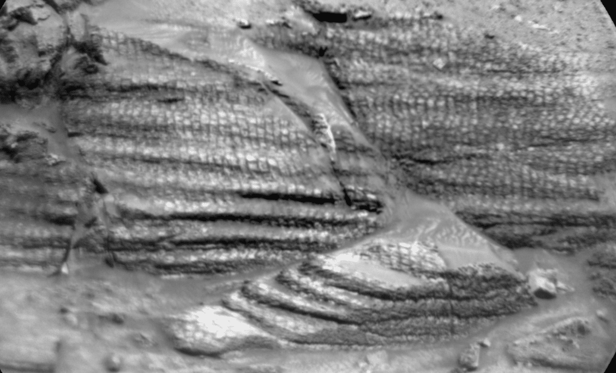
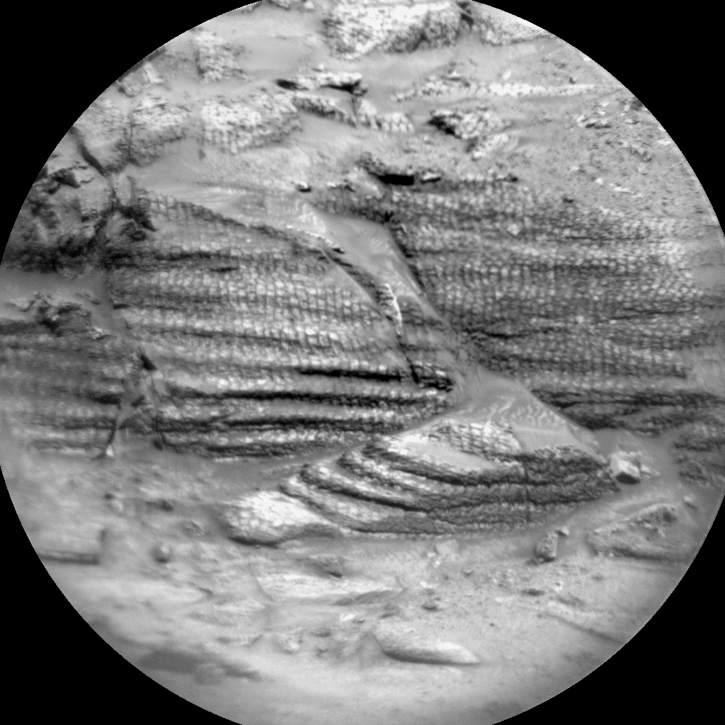
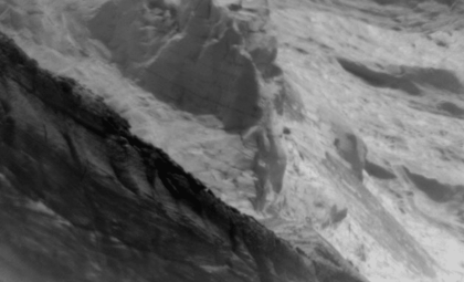
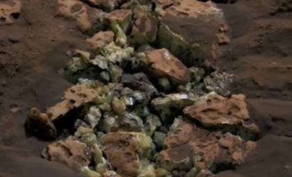
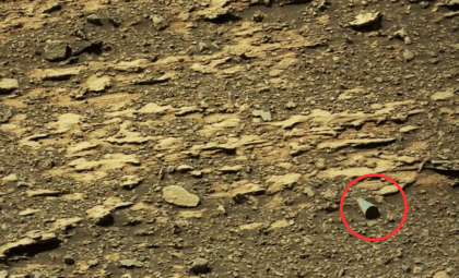
Currently, the rover is analyzing a bedrock site labeled Tarija with some of its most advanced instruments. The Alpha Particle X-ray Spectrometer (APXS) and ChemCam are employed to decode the chemical makeup of Martian rock and soil samples, while helpers like Mastcam and MAHLI capture detailed images of these targets and their surroundings.
A key focus lies in studying boxwork features, unique geological formations that may conserve evidence of past groundwater flows. Deciphering the chemistry and origin of these patterns can shed light on the historical movement of subsurface fluids and help reconstruct Mars’ ancient environmental conditions over billions of years.
Investigations at Tarija contribute to a wider initiative to link localized chemistry with overarching geological structures on Mars. Each dataset from Curiosity enriches the understanding of Mars’ transition from a wetter world with the potential for life to its current arid state. By scrutinizing both the mineral content and physical features of rocks, researchers continue piecing together the planet’s long evolutionary narrative.
Extended Surveys of Nearby Geological Landmarks
Curiosity’s scientific examination extends beyond individual rocks. NASA reports that the rover is also capturing comprehensive images of adjacent formations, such as a cluster of linear ridges to the north and a fracture-filled feature called Laguna del Bayo.
Additionally, the mission revisits an outcrop named Mishe Mokwa with enhanced imaging for further study. These efforts aim to clarify relationships between different rock layers and understand geological shifts that have modified the landscape throughout Mars’ history.
Wide-area imaging is vital to placing precise chemical findings into broader environmental perspective. While targeted instrument readings reveal detailed composition, panoramic surveys help identify whether observations represent localized anomalies or part of larger patterns. This combined methodology has underpinned Curiosity’s exploration since it landed in Gale Crater in 2012.
Preparation for Next Journey and Automated Observations
The reliable surface conditions have also allowed engineers to plan a forthcoming traverse. The rover is set to advance approximately 54 meters (177 feet) toward new zones of scientific interest.
Following this move, Curiosity will immediately undertake a series of autonomous scans. The Mars Descent Imager (MARDI) will document the terrain under its wheels, while ChemCam autonomously selects and analyzes rock targets without human input.
- Categories:
- Nasa


0 comments
Sign in to Comment