

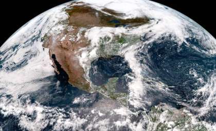
As colder air spreads across the Northern Hemisphere, climate specialists are increasingly focused on the Pacific Ocean. A strengthening La Niña event is projected to push the United States into a highly variable winter, with colder, wetter weather in northern areas and escalating drought conditions in the southern regions.
Seasonal forecasts from the National Weather Service (NWS) and other meteorological organizations reveal a winter defined by pronounced geographic differences. The southern U.S. is likely to experience persistent heat and dryness, whereas the Northern Plains, Great Lakes, and Pacific Northwest are expected to encounter heavier snowfall and lower-than-average temperatures.
This forecast stems from a developing weak La Niña, characterized by cooler than normal Pacific equatorial waters. Despite its modest strength, this La Niña is combining with larger climate trends to increase unpredictability and disrupt established weather patterns, potentially resulting in wild swings even within individual months.

Forecasts Indicate Growing Seasonal Contrast
The National Oceanic and Atmospheric Administration (NOAA) confirmed La Niña conditions in September 2025, after recording below-average sea surface temperatures in critical Pacific areas. NOAA's outlook for December through February predicts above-normal precipitation in northern parts of the country, including the Pacific Northwest, Northern Rockies, and Upper Midwest.
Conversely, a dry swath is anticipated to extend from the Four Corners area through the Gulf Coast and into sections of the Mid-Atlantic, accompanied by warmer temperatures in much of the southern states.
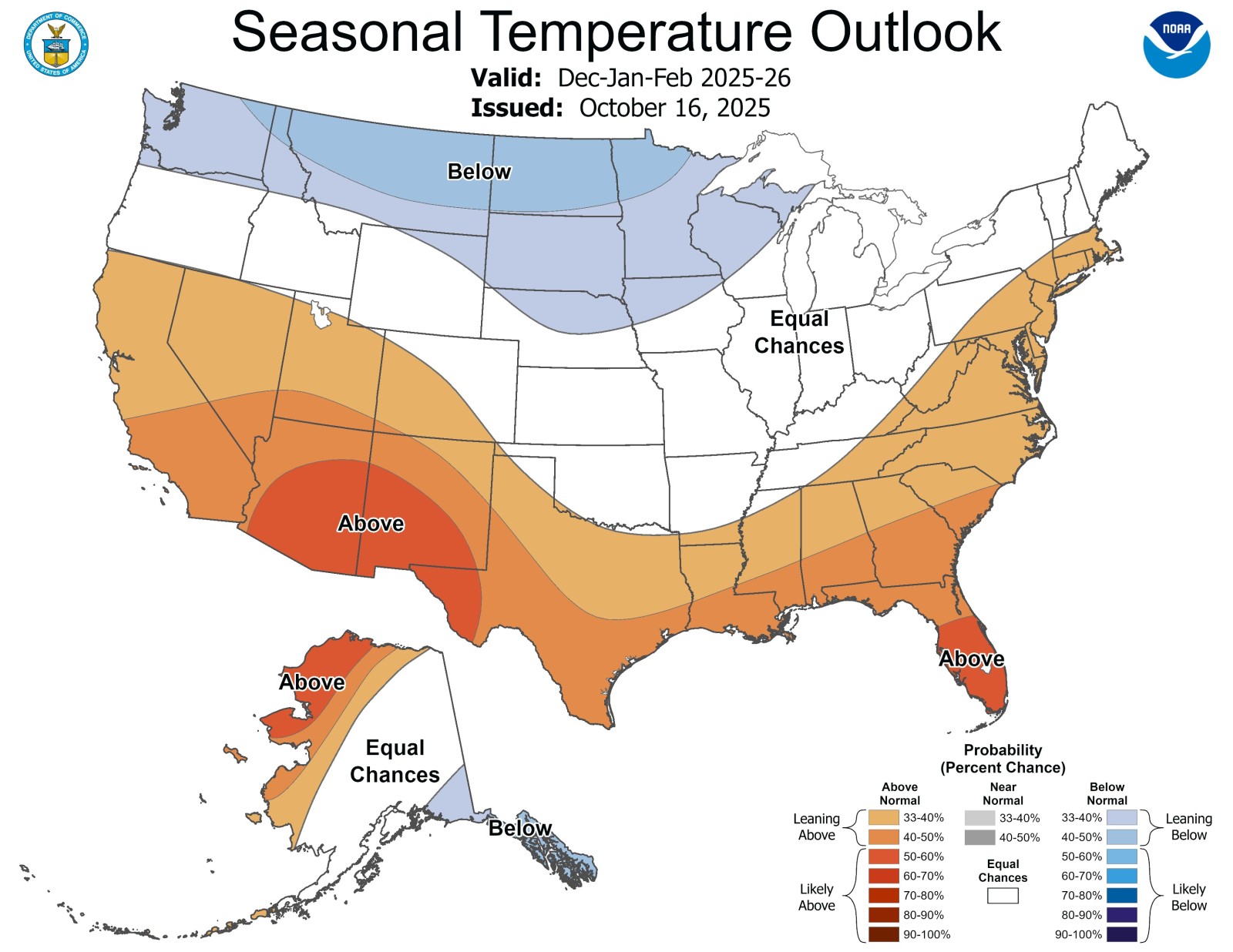
Jon Gottschalck, head of NOAA’s Operational Prediction Branch, explained recently that “La Niña tends to push the jet stream northward, which reroutes storm systems to northern parts of the country, leaving the South warmer and drier than usual.”
While this seasonal setup mirrors previous La Niña winters, it also shows signs of high variability. Data from the Climate Prediction Center demonstrate that weak La Niña phases in recent decades have produced extremes ranging from brutally cold winters to surprisingly mild ones.
Increased Snowfall and Storm Activity in Northern U.S.
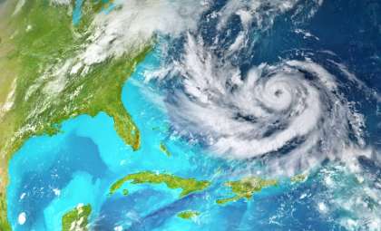
Areas such as the Northern Plains, Great Lakes, and the Pacific Northwest are likely to notice early signs of this pattern. Meteorologists anticipate an active storm path in December dominated by Alberta clippers—quick-moving weather systems that bring rapid snowfalls and chilly air.
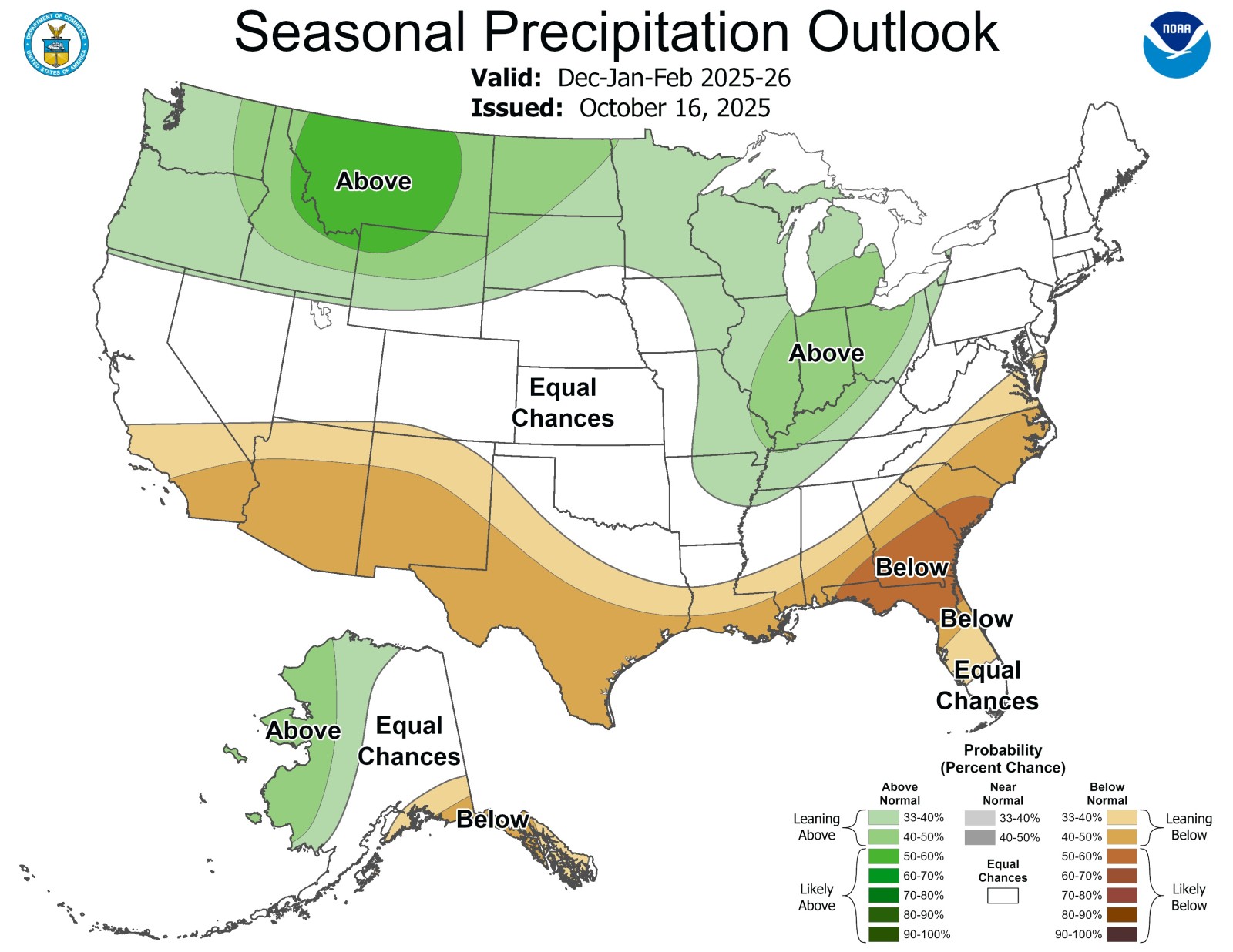
Lake-effect snow is expected to intensify around the Great Lakes by early winter. Seasonal forecasts indicate a 33–40% probability of higher than average precipitation in the Upper Mississippi River Valley, including parts of Wisconsin, Minnesota, and Iowa. Snow totals will depend on local temperature fluctuations during storm events.
Meanwhile, the Desert Southwest and large portions of the central U.S. may remain relatively mild throughout December, with daytime temperatures in states such as Arizona, New Mexico, and Texas staying above the seasonal average.
Southern States Face Worsening Drought
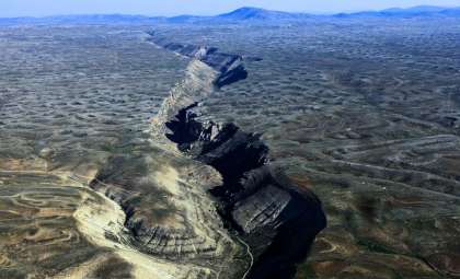
Dry conditions are predicted to persist and worsen across the Southern Plains and Southeast. According to NOAA, over 25% of the continental U.S. was in moderate to severe drought entering November. The forecast provides minimal hope for substantial improvement in states like Texas, Louisiana, Georgia, and Florida.
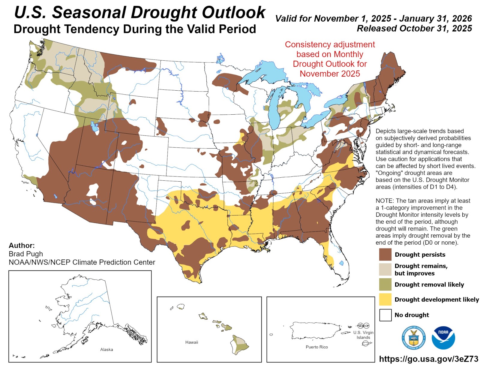
Brad Pugh, NOAA’s drought specialist, commented in October that “more than a quarter of the U.S. remains in drought conditions with little expectation for broad recovery this winter.”
Below-average precipitation could further reduce water supplies, strain farming regions, and heighten wildfire risks heading into spring 2026. Occasional rain from Pacific atmospheric rivers is unlikely to reverse prolonged drought without a broader shift in weather patterns.
Additional Climate Factors Could Alter the Forecast
Besides La Niña, other atmospheric systems like the Arctic Oscillation (AO) and North Atlantic Oscillation (NAO) influence how far down cold Arctic air penetrates. Sudden changes in these indices may bring unexpected cold to usually temperate areas, including parts of the Mid-Atlantic and Southeast.
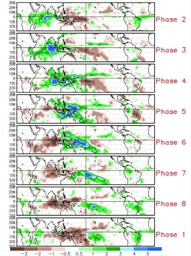
The Madden-Julian Oscillation (MJO) also affects weekly patterns of rainfall and temperature across tropical and mid-latitude regions. This atmospheric wave can temporarily increase precipitation in the South or cause warm spells in the Northeast, even if the broader seasonal trend does not shift.
Confidence in these forecasts is greatest for early winter, especially in the Northwest and Midwest. As the season progresses past January, uncertainty rises due to potential transitions toward ENSO-neutral conditions expected later in the winter.
- Categories:
- News


0 comments
Sign in to Comment