
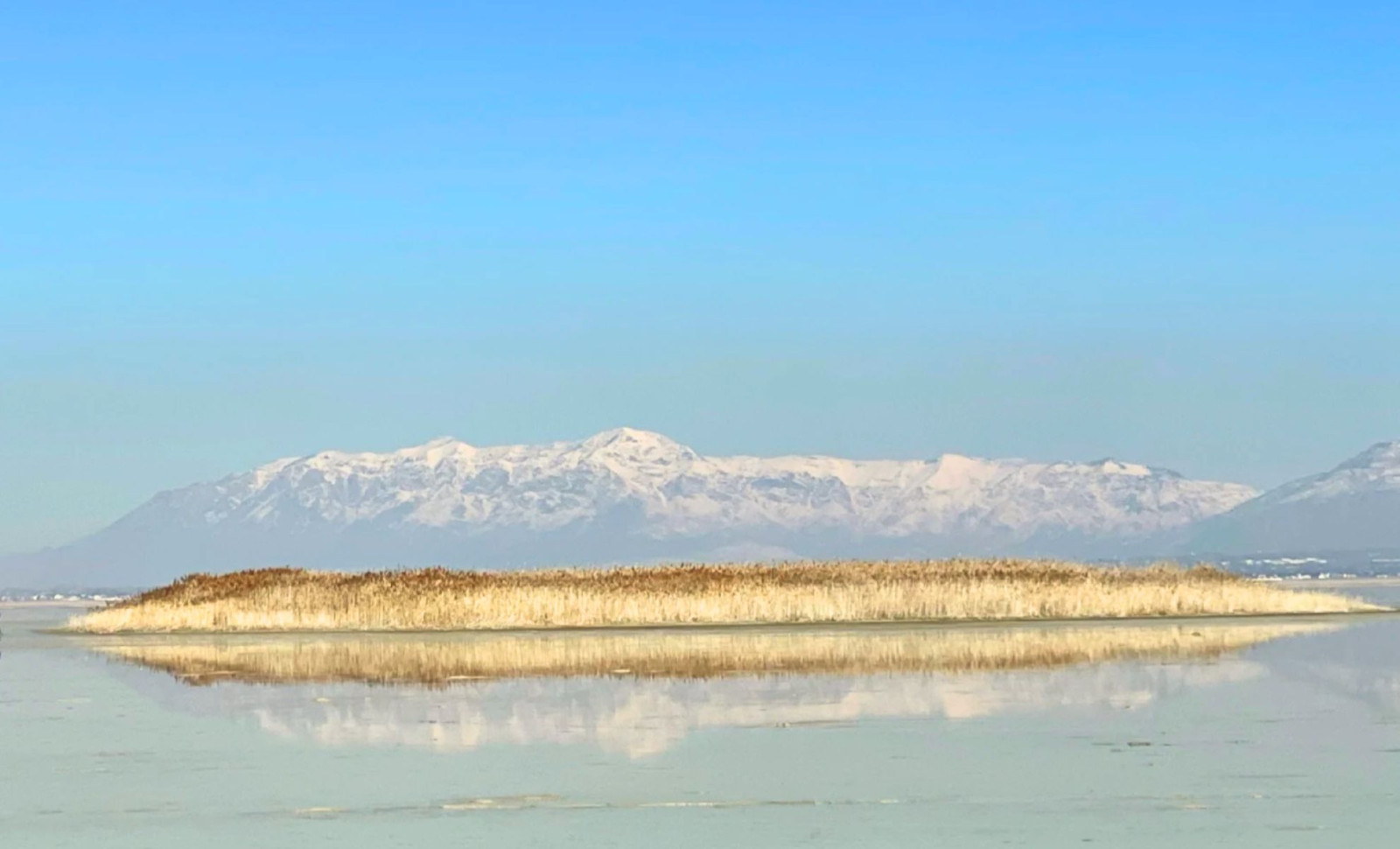
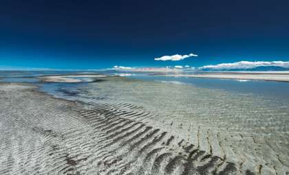
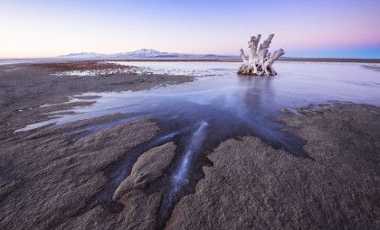
Several years ago, scientists noticed circular clusters of tall phragmites reeds emerging from the dry bed of Farmington Bay. These mounds, spanning between 50 and 100 meters and adorned with reeds nearly 15 feet high, were found to form where pressurized freshwater seeped upward through cracks in the otherwise impermeable layer below the exposed lakebed. This prompted geophysicists at the University of Utah to investigate the source, uncovering a far more extensive underground freshwater reservoir than initially suspected.
Published in the journal Scientific Reports, the study reveals a deep subterranean freshwater network permeating sediments beneath the hypersaline surface of the Great Salt Lake. Through airborne electromagnetic (AEM) surveys carried out in February 2025, researchers charted the boundary between saline and freshwater beneath Farmington Bay and northern Antelope Island, discovering freshwater-rich sediments extending from shallow depths down to approximately 3 to 4 kilometers (about 10,000 to 13,000 feet) underground.
Helicopter-Based Surveys Reveal Subsurface Composition Beneath the Saline Crust
To perform these measurements, the University of Utah team enlisted a Canadian geophysical firm to fly electromagnetic sensors suspended beneath a helicopter. The helicopter completed 10 east-west traverses across Farmington Bay and northern Antelope Island, covering a total distance of 154 miles. The instruments recorded electrical resistivity down to nearly 100 meters, a method that differentiates between freshwater and saltwater due to the much higher conductivity of saline water.

Michael Zhdanov, lead author and distinguished geology and geophysics professor directing the Consortium for Electromagnetic Modeling and Inversion (CEMI) at the University of Utah, noted this is the first successful application of AEM techniques to identify freshwater located beneath the Great Salt Lake’s thin conductive saltwater layer.
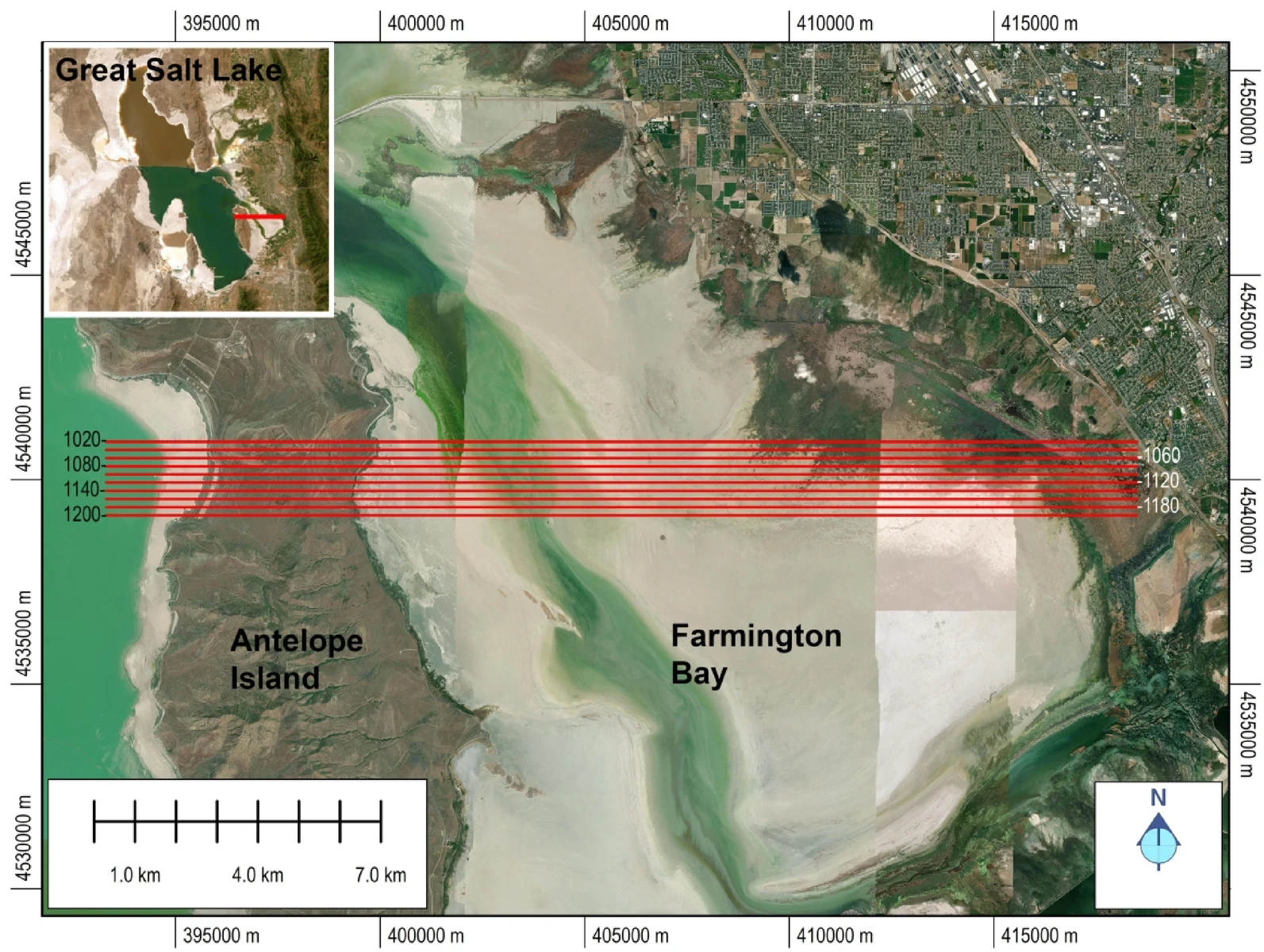
The produced maps displayed a stark transition: a saline layer close to the surface shifting to freshwater-rich sediments just 10 meters below. One reed-covered mound on the lakebed corresponded exactly with a location where freshwater was pushing through the impermeable strata toward the surface.
Unexpectedly Broad Reach of Freshwater Beneath the Lake’s Interior
The findings defied conventional hydrologic expectations. Typically, denser briny waters fill the entire basin beneath terminal lakes like the Great Salt Lake, with freshwater sources confined around the edges. However, the data suggested a different scenario here.
Bill Johnson, a geology and geophysics professor and co-author, shared insights on KPCW’s Cool Science Radio, explaining that freshwater horizons penetrate well into the interior beneath the saltwater lens, with a substantial volume moving inward. The study was limited to part of the southeastern lake margin, leaving open questions about the full extent of this pattern.
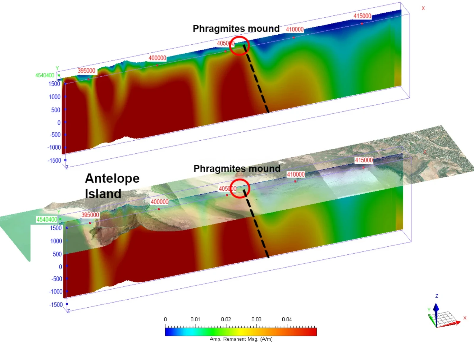
In addition to AEM data, Zhdanov’s team integrated magnetic measurements to create 3D tomographic models of subsurface geology. These inversions revealed the basement under Farmington Bay sits less than 200 meters deep before plunging sharply to 3–4 kilometers. This geological transition lies beneath one of the reed mounds and represents an important target for future detailed hydrogeological mapping.
Addressing Dust Pollution Through Groundwater Management
Understanding this aquifer also holds significant environmental and public health implications. With declining Great Salt Lake water levels exposing approximately 800 square miles of lakebed, dangerous dust containing toxic metals is being dispersed into nearby communities. Current strategies involving large-scale reflooding face logistical challenges.
Johnson and colleagues are investigating whether the naturally rising artesian groundwater could be selectively utilized to moisten dust-prone hotspots on the exposed lakebed without disrupting the underground system. This targeted approach might offer a practical, near-term solution, especially where large-scale reflooding is infeasible.
The project is part of an extensive research initiative at the University of Utah’s Department of Geology and Geophysics, supported by the Utah Department of Natural Resources and the Great Salt Lake Commissioners’ Office. According to the university’s research office, two additional studies have already emerged from this work, with more anticipated as the investigation progresses.
If the AEM method is expanded to cover the entire 1,500-square-mile area of the lake, water managers could obtain unprecedented insights into the subsurface freshwater resources beneath one of the largest terminal lakes in the Western Hemisphere.
- Categories:
- Science


0 comments
Sign in to Comment