
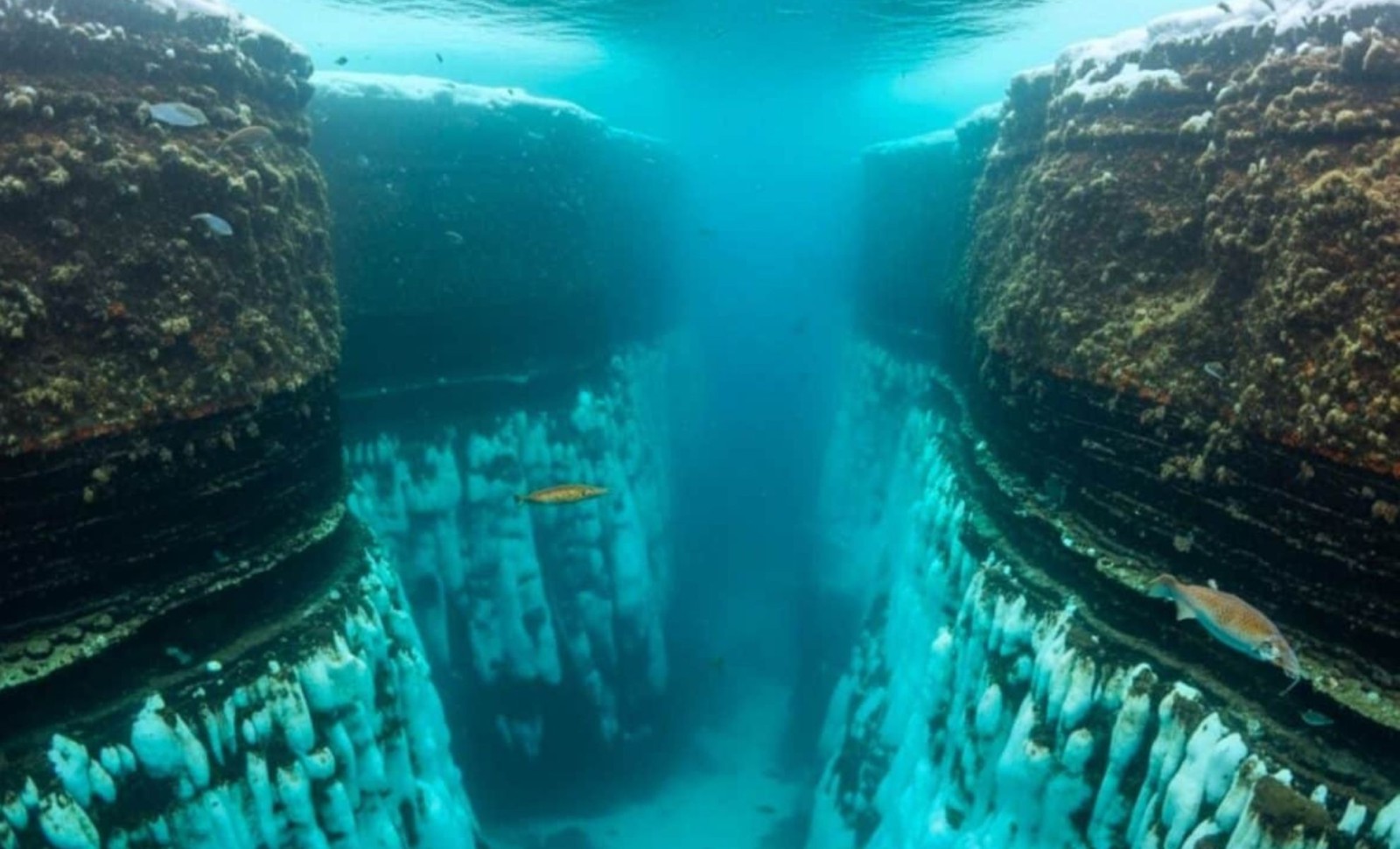
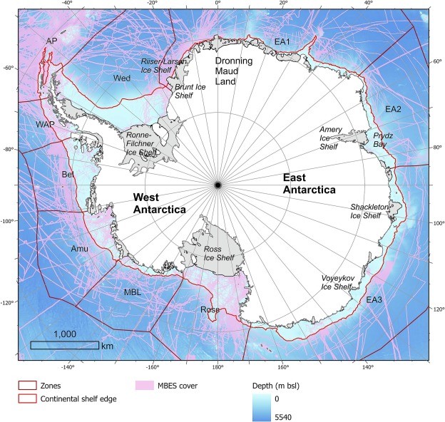
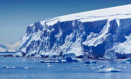
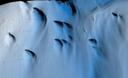
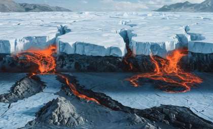
Researchers have unveiled a comprehensive map of Antarctica’s ocean floor, revealing an extensive network of 332 submerged canyons, with depths exceeding 4,000 meters in some locations. This discovery offers new insights into how the continent’s submerged landscape affects ice behavior, marine currents, and the Earth’s climate system.
Featured in Marine Geology, this investigation represents the most detailed study to date on Antarctic submarine canyon formations. The team, led by scientists from the University of Barcelona and University College Cork, utilized cutting-edge bathymetric mapping combined with geomorphometric analysis to reveal a seafloor terrain far more intricate than prior estimates suggested.
Far from being inactive remnants of ancient glaciers, these submerged canyon systems actively channel heat, sediments, and nutrients, influencing the rate and locations of melting beneath ice shelves. The findings also challenge the validity of existing sea-level rise models, which often simplify the Antarctic seafloor as flat and uniform.

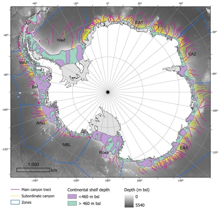
Co-author David Amblàs noted, “Several of the submarine canyons we studied extend beyond 4,000 meters deep, with the most complex networks located in East Antarctica, marked by intricate branching formations.”
Differing Geological Signatures in East and West Antarctica
Analysis reveals distinct tectonic differences between Antarctic’s eastern and western sectors. The eastern submarine canyons are characterized by their longer lengths, branching patterns, and distinctive U-shaped cross sections, signaling prolonged periods of glacial stability and sediment buildup sustained over millennia.
Conversely, western Antarctica's canyons have steeper slopes, shorter lengths, and more linear, V-shaped profiles, reflecting a more recent, intermittent glacial evolution. This contrast supports hypotheses that the East Antarctic Ice Sheet established earlier and remained more geologically stable over time.
“The identification of these geological contrasts between the two main Antarctic regions was a novel and striking discovery,” explained co-author Riccardo Arosio.
This east-west dichotomy also correlates with observational evidence showing increased instability in West Antarctica, notably around the Amundsen Sea and Thwaites Glacier, where rapid ice retreat has been recorded.
Seafloor Canyons Drive Ice Shelf Melting from Beneath
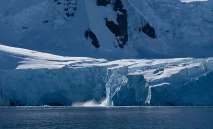
These underwater canyons are dynamic pathways that allow interaction between Antarctic waters and the global ocean. Cold, dense shelf water descends through these valleys into the Southern Ocean, whereas warmer, deep currents like Circumpolar Deep Water ascend beneath floating ice shelves.
This bidirectional flow intensifies basal melting—a critical factor in ice shelf destabilization. As per the University of Barcelona, “This mechanism predominantly drives the thinning and melting at the ice shelves’ bases, which are crucial for stabilizing the glaciers further inland.”
When ice shelves deteriorate or collapse, the glaciers they support accelerate their movement into the ocean, directly adding to global sea-level rise. The shape and incline of these canyons dictate the extent and speed with which warm waters reach vulnerable ice shelf bases.
These processes are also vital for creating Antarctic Bottom Water, a cold, dense water mass that propels the global thermohaline circulation, a key regulator of Earth’s climate.
Crucial but Overlooked in Climate Forecasts
Despite their importance, submarine canyon systems have been largely excluded from climate modeling efforts predicting ice sheet changes and sea-level rise. Many models oversimplify the continental margin as a uniform slope, ignoring essential factors like current channeling, vertical mixing of waters, and deep ocean ventilation.
The study’s authors emphasize that neglecting these canyons is a major gap since they determine how quickly meltwater from glaciers disperses or remains contained, directly affecting sea-level projections. Their new data enhances the precision of both regional and global simulations.
“These processes… are essential for the formation and transformation of cold, dense water masses like Antarctic Bottom Water,” Amblàs explains.
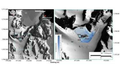
The employed bathymetric mapping, based on IBCSO v2, features a resolution of 500 meters per pixel, a substantial improvement over earlier datasets averaging 1–2 kilometers. This precision enabled use of a semi-automated GIS methodology assessing 15 key morphological attributes for every canyon system.
Vast Regions of Seafloor Still Uncharted
While this high-resolution map reshapes our understanding of Antarctica's geophysical complexity, it also underscores the vast knowledge gaps remaining. The Seabed 2030 Initiative indicates that only 27% of the global ocean floor has been mapped in comparable detail, with polar regions especially lacking.
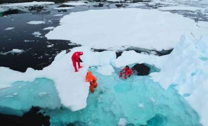
Much of Antarctica’s continental shelf remains hidden beneath thick ice shelves, complicating sonar-based bathymetric surveys. To overcome this, the researchers developed scalable, automated tools to identify and categorize underwater formations even with limited data, tools that could be adapted to other icy zones such as the Arctic and South Georgia.
Reflecting on the study’s broader impact, Arosio remarked, “Thanks to the enhanced resolution of the new bathymetric database, we could reliably implement semi-automated approaches to precisely identify and analyze Antarctic submarine canyons.”
The authors stress that continued advances in mapping accuracy, along with hands-on observations and improved modeling, are critical for sharpening forecasts concerning ice-sheet retreat, oceanic circulation patterns, and climatic tipping points.
- Categories:
- Science


0 comments
Sign in to Comment