
Far out in the South Atlantic Ocean, the volcanic islands of Candlemas and Vindication are often hidden beneath a thick veil of clouds that mask their rugged landscapes. Recent findings from NASA's Earth Observatory shed light on how volcanic activity, along with ice, snow, and intense ocean winds, have shaped these remote islands. Utilizing vivid satellite imagery from Landsat 9, the study captures the striking interplay between fiery volcanic forces and icy elements that define these isolated islands.
Exploring the Isolated South Sandwich Archipelago
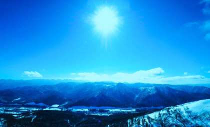
Situated more than 1,600 kilometers away from the nearest continental landmass, the South Sandwich Islands represent one of the planet’s most secluded volcanic chains. This group of eleven islands is distinguished by brutal weather conditions and a harsh environment. Their unique geological story is characterized by volcanic creation combined with the persistent reshaping caused by glaciers and erosion.
These islands rest above the South Sandwich Trench, a tectonic boundary where the South American Plate is driven beneath the South Sandwich Plate. This subduction process fuels intense volcanic activity, resulting in the islands’ rugged peaks and valleys, continuously sculpted by the dual forces of fire and ice.

Candlemas Island: Where Volcanoes Meet Glacial Forces
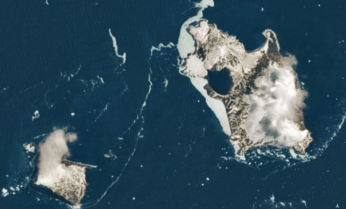
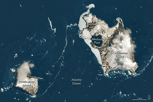
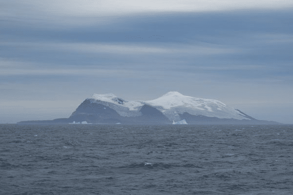
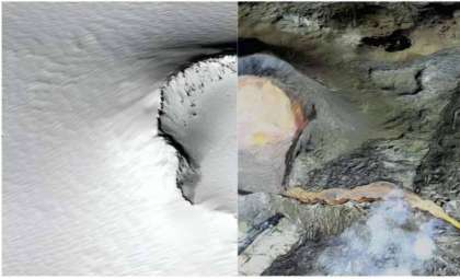
Candlemas Island, one of the key islands in the investigation, features a bold and shifting landscape. Formed from two landmasses that merged over centuries, the island contains a large stratovolcano shaped heavily by glacial erosion.
The volcano’s volcanic rock formations, particularly in the island's southeast, contrast sharply with the extensive ice and snow coverage. The island’s sporadic volcanic activity, recorded through years of observation, adds a mysterious element to this frozen environment.
Historical records from the 1800s and early 1900s document clouds of steam and smoke rising from the island, evidence that volcanic activity remains a latent force beneath the icy surface. Although eruptions are infrequent, the presence of volcanic life persists.
Vindication Island: Eroded Remnants of Volcanic Past
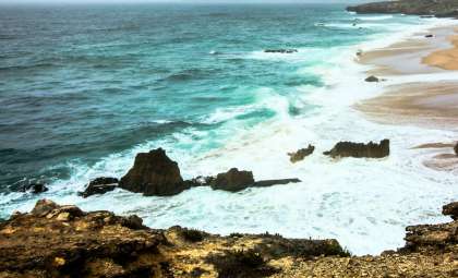
In contrast, Vindication Island narrates a different tale, dominated by erosion and geological decline. The island is defined by towering cliffs that rise sharply from the surrounding frigid waters, shaped primarily by relentless winds and waves rather than volcanic upheaval.
Geological analysis indicates that volcanic activity on Vindication Island has mostly ceased, leaving behind a landscape heavily weathered over time. The volcanic rocks composing the cliffs testify to an era when geothermal activity flourished, now replaced by the gradual shaping capabilities of natural erosion.
Satellite Technology Reveals Secrets of Remote Terrain
NASA’s utilization of satellite imaging, with a particular focus on the Landsat 9 satellite, has dramatically improved our understanding of isolated locales such as the South Sandwich Islands. Captured on November 18, 2022, the images offer some of the clearest views these islands have had in a decade. This data is invaluable for scientists studying the region’s volcanic and glacial interactions.
The Operational Land Imager-2 (OLI-2) on Landsat 9 excels in delivering sharp, high-resolution images that reveal not only volcanic formations but also their changing relationship with surrounding oceanic and atmospheric conditions. This capability is essential for tracking geological transformations over time and better understanding volcanic island evolution.
Wave Clouds: The South Atlantic’s Atmospheric Artistry
Among the region’s captivating natural wonders are the distinctive wave clouds formed when winds move over the volcanic peaks, interacting with the varied terrain. These clouds create swirling, rhythmic bands that are both aesthetically breathtaking and scientific indicators of the island’s dynamic meteorology.
Landsat 9’s imagery exposes how volcanic topography influences weather patterns, unveiling a complex dance between landforms, wind, and clouds above these remote islands.
Monitoring the Islands’ Volcanic Future
While current research emphasizes the islands’ past and present geological narratives, understanding future volcanic behavior remains crucial. Candlemas Island's continued volcanic activity necessitates ongoing observation, with satellite technology playing a pivotal role in detecting subtle signs of unrest.
Such monitoring is vital not only for scientific knowledge but also due to the potential impacts volcanic activity could have on global climate and ocean circulation, especially given the islands' critical position at the juncture of major tectonic plates.
- Categories:
- Science


0 comments
Sign in to Comment